
Light snow and bitter cold grip the region
Feisty winds creating blizzard conditions

Go Deeper.
Create an account or log in to save stories.
Like this?
Thanks for liking this story! We have added it to a list of your favorite stories.


Fluffy snow, gusty winds and increasing cold are setting the stage for a wintry stretch across the state through the weekend and into next week.
Blustery winds and light snow
Light snow will continue Saturday, though minimal accumulation is expected, with less than an inch for most of the state. Snow will gradually taper to flurries by the afternoon.
Much colder air behind an Arctic front will keep temperatures in check, with highs struggling to climb out of the single digits. Parts of eastern Minnesota may reach the low teens.

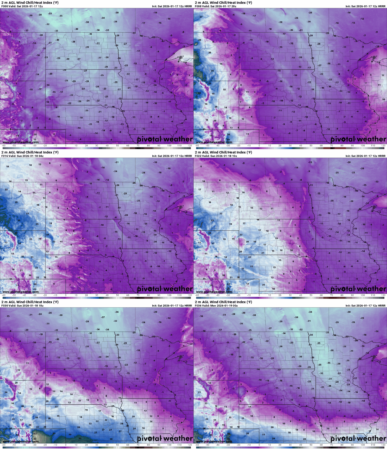
Wind chill values will drop as low as 35 below zero in northwestern Minnesota, prompting a cold weather advisory through 1 p.m. Elsewhere, wind chills are expected to range from the teens to 20s below zero throughout the day Saturday into Sunday.
Turn Up Your Support
MPR News helps you turn down the noise and build shared understanding. Turn up your support for this public resource and keep trusted journalism accessible to all.
Gusty northwest winds of 35 to 45 mph will persist across mainly western Minnesota through Saturday afternoon, with occasional gusts reaching 50 mph.
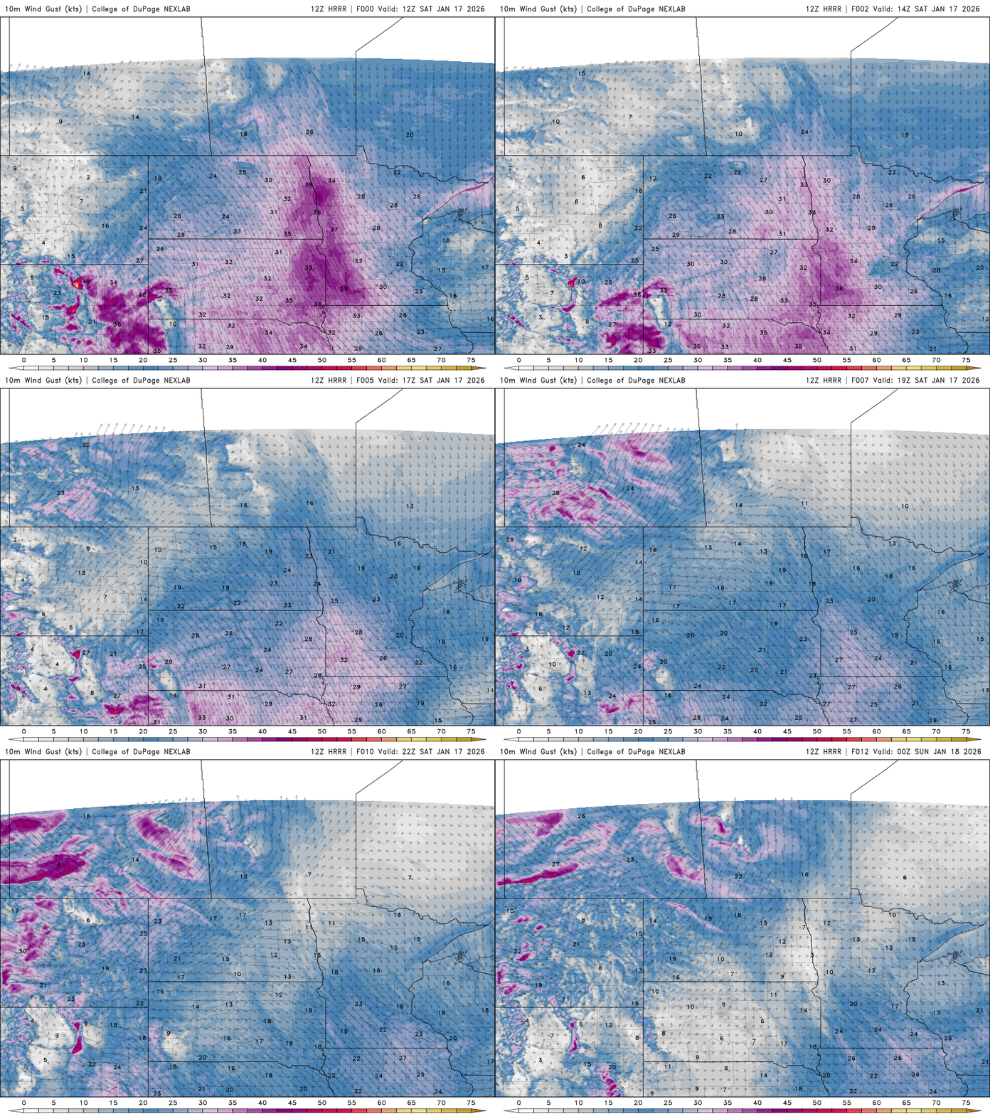
The feisty winds are creating blizzard-like conditions in northwestern Minnesota, and a blizzard warning remains in effect until noon Saturday.
Another round of light snow is expected early Sunday as a fast-moving clipper system moves from northwest to southeast. Snow will develop in western Minnesota during the early morning hours, spreading into eastern Minnesota and western Wisconsin after sunrise before tapering off by Sunday late afternoon. Accumulations of 1 to 2 inches are expected.
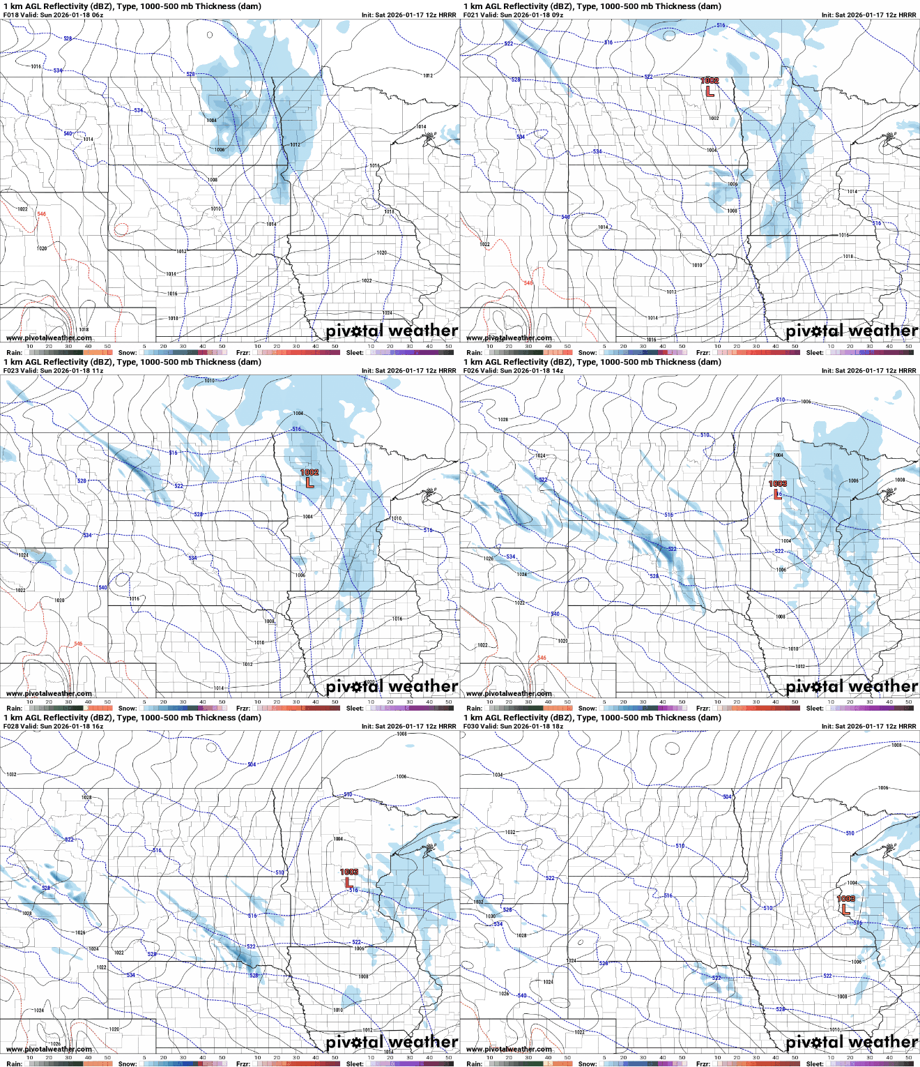
Winds will once again be a concern for Sunday with blustery northwesterly winds expected, creating blowing snow and reduced visibility.
Cold air pouring in behind the system will drop temperatures Sunday night to between 5 and 15 below zero. With strong winds continuing, wind chills are expected to fall into the minus 20 to minus 30 range, which could prompt a cold weather advisory for much of the area into Monday morning.

No significant weather systems are expected next week, just continued cold temperatures below seasonal averages and mostly quiet conditions.

