Blizzard conditions with light snow and blustery winds followed by intense cold
Dangerous cold settles in after Sunday snow

Go Deeper.
Create an account or log in to save stories.
Like this?
Thanks for liking this story! We have added it to a list of your favorite stories.


A fast-moving clipper system will bring light snow, very strong winds and dangerously cold wind chills across the region through early Monday, prompting multiple weather advisories including concern for near-blizzard conditions in parts of western Minnesota.
Snow, wind and bitter cold impact the region
Lighter winds early Sunday will offer little relief from the cold, as highs reach only the single digits and teens.

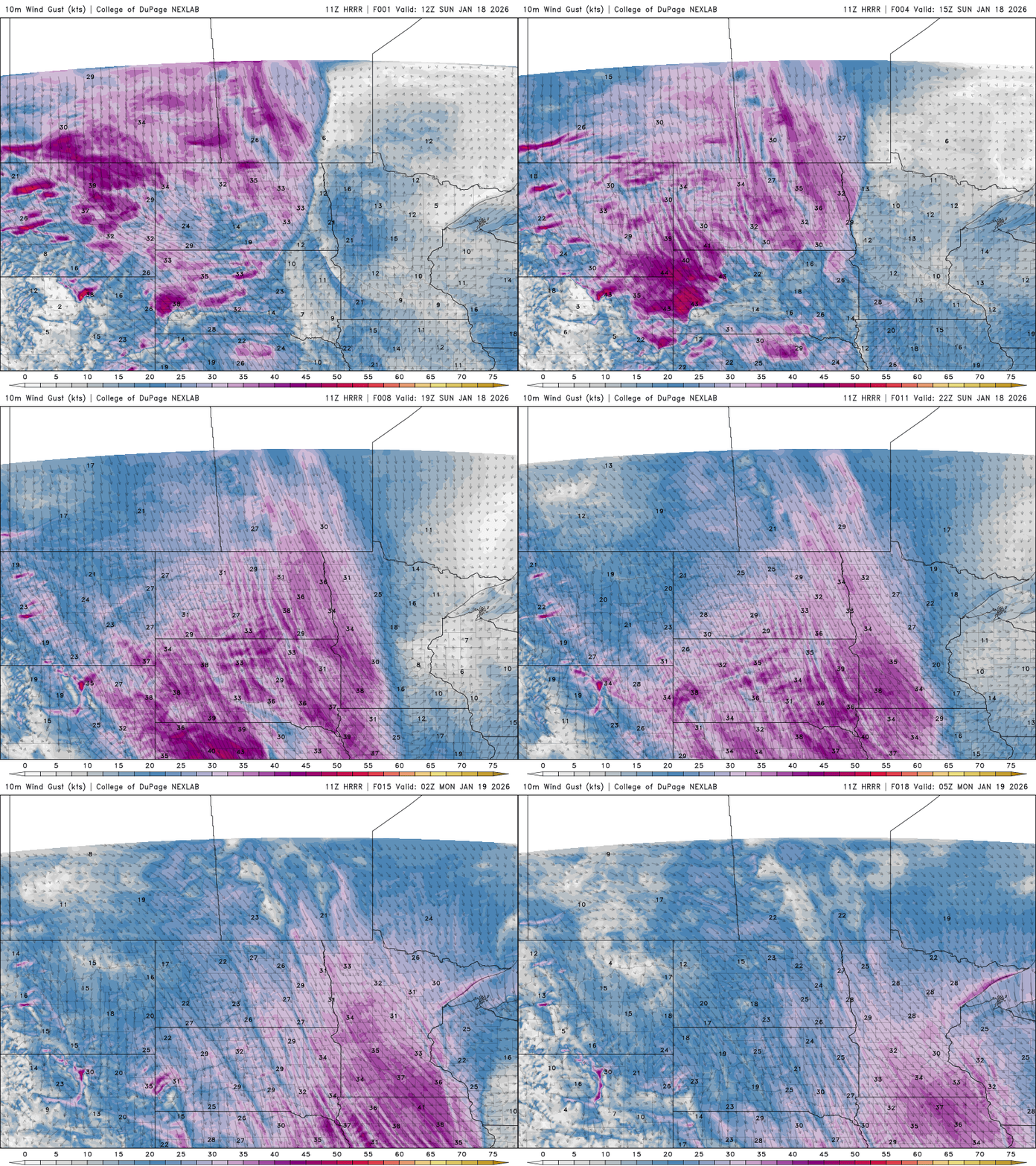
Northwesterly winds will increase rapidly late Sunday morning across western Minnesota and spread east through the day. Sustained winds of 20 to 35 mph are expected, with gusts reaching 40 to 50 mph in western Minnesota. Near-whiteout conditions are possible.
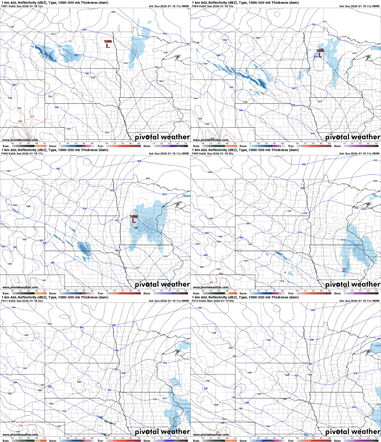
Blowing snow and reduced visibility remain the primary concerns, especially across western and southern Minnesota. A blizzard warning continues until 9 p.m. for the Red River Valley, while a winter weather advisory remains in effect for western, central and southern Minnesota until 9 p.m.
Turn Up Your Support
MPR News helps you turn down the noise and build shared understanding. Turn up your support for this public resource and keep trusted journalism accessible to all.
Snow accumulations will remain light, with 1 to 2 inches possible across the eastern half of the state and localized amounts of 3 inches or more. Farther west, a dusting to an inch is expected. Even small amounts of snow, combined with strong winds, can create hazardous driving conditions and reduced visibility.

Coldest morning of the new year
Behind the clipper system, another surge of arctic air will move in. A cold weather advisory is in effect statewide from Sunday night through Monday morning, with wind chills ranging from 25 to 35 degrees below zero. Frostbite can occur in as little as 10 minutes under these conditions.


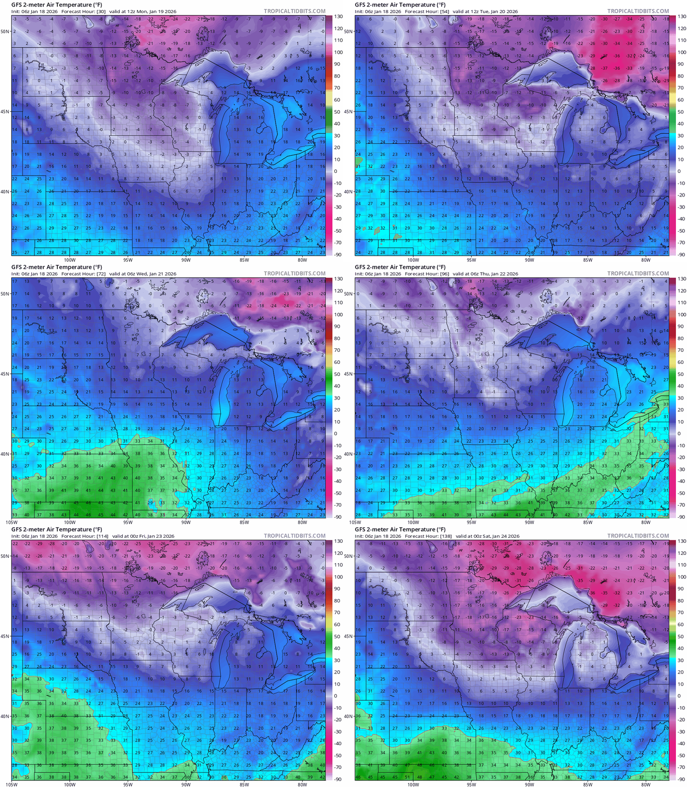
Temperatures Monday will teeter around zero, marking a very cold start to the work week.

Next week will stay colder than normal, with highs mainly in the teens and only brief warm-ups into the low 20s. No significant snow is expected, though a quick system Tuesday night into Wednesday could leave a light dusting across the area.