
Cold Monday with another clipper bringing light snow late Tuesday
Temps will drop again late this week

Go Deeper.
Create an account or log in to save stories.
Like this?
Thanks for liking this story! We have added it to a list of your favorite stories.


Temperatures will remain cold Monday with single digit and subzero highs. Another clipper system will deliver more light snow late Tuesday into early Wednesday followed by more cold.
Cold Monday with another shot of light snow late Tuesday with another clipper
It’s a cold start with wind chills in the 20s and 30s below zero early Monday. A cold weather advisory persists for most of the state through noon. We’ll see a cold day with highs in the single digits above zero in southern Minnesota and remaining subzero north. We’ll see sun to start but clouds will increase.

Temps will drop back below zero across the state overnight tonight into early Tuesday morning.

Also be on the lookout for auroras potentially tonight. NOAA’s space weather prediction center is forecasting a G4 (severe) geomagnetic storm with a KP index of 8, meaning auroras could be visible as far south as Missouri. Skies should cooperate in central and southern Minnesota with mainly clear skies. Northern Minnesota will have a bit more cloud cover.
Turn Up Your Support
MPR News helps you turn down the noise and build shared understanding. Turn up your support for this public resource and keep trusted journalism accessible to all.

Another clipper system is moving in bringing light snow late tomorrow into early Wednesday. Light snow will develop in western Minnesota and track east by Tuesday evening.
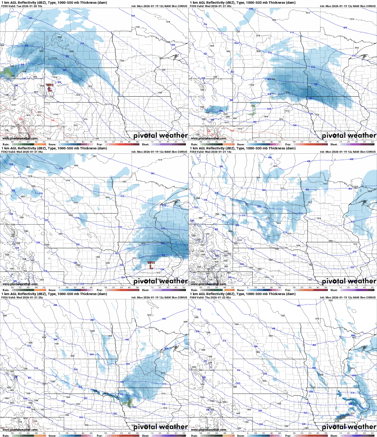
Snowfall will be confined to mostly southern Minnesota with up to 1 to 2 inches there. In the Twin Cities we’ll see 1 inch or less.
It’ll also be briefly warmer Wednesday with highs in the 20s across southern Minnesota. Enjoy it, much colder air returns late week.

A frigid air mass moves in starting Thursday making for our coldest temperatures of the winter season Friday into Saturday.
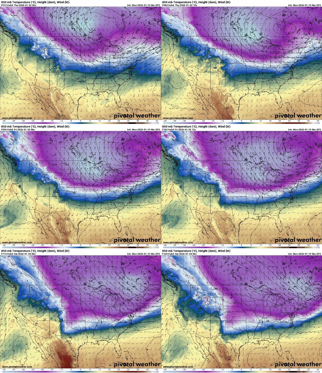
High temperatures Friday afternoon will remain subzero statewide. Northern Minnesota may only see highs in the teens below zero!

Overnight lows Friday night will be very cold with lows in the 30s below zero north to near 20 below zero even in the Twin Cities.

Wind chill values could be as cold as 40 to 50 below zero in northern Minnesota early Friday and Saturday mornings.

