
Another round of light snow followed by the coldest air of winter
Winds increase later Wednesday into Thursday

Go Deeper.
Create an account or log in to save stories.
Like this?
Thanks for liking this story! We have added it to a list of your favorite stories.


Wednesday will be closer to normal with highs in the 20s. We get another round of midday and afternoon snow showers followed by the coldest air mass of winter.
Another round of light snow then arctic air moves in
We had one round of snow showers move across western and southern Minnesota late Tuesday and now we’re in a lull for much of Wednesday morning. Another round of snow showers will move in midday into the afternoon and taper off Wednesday evening.
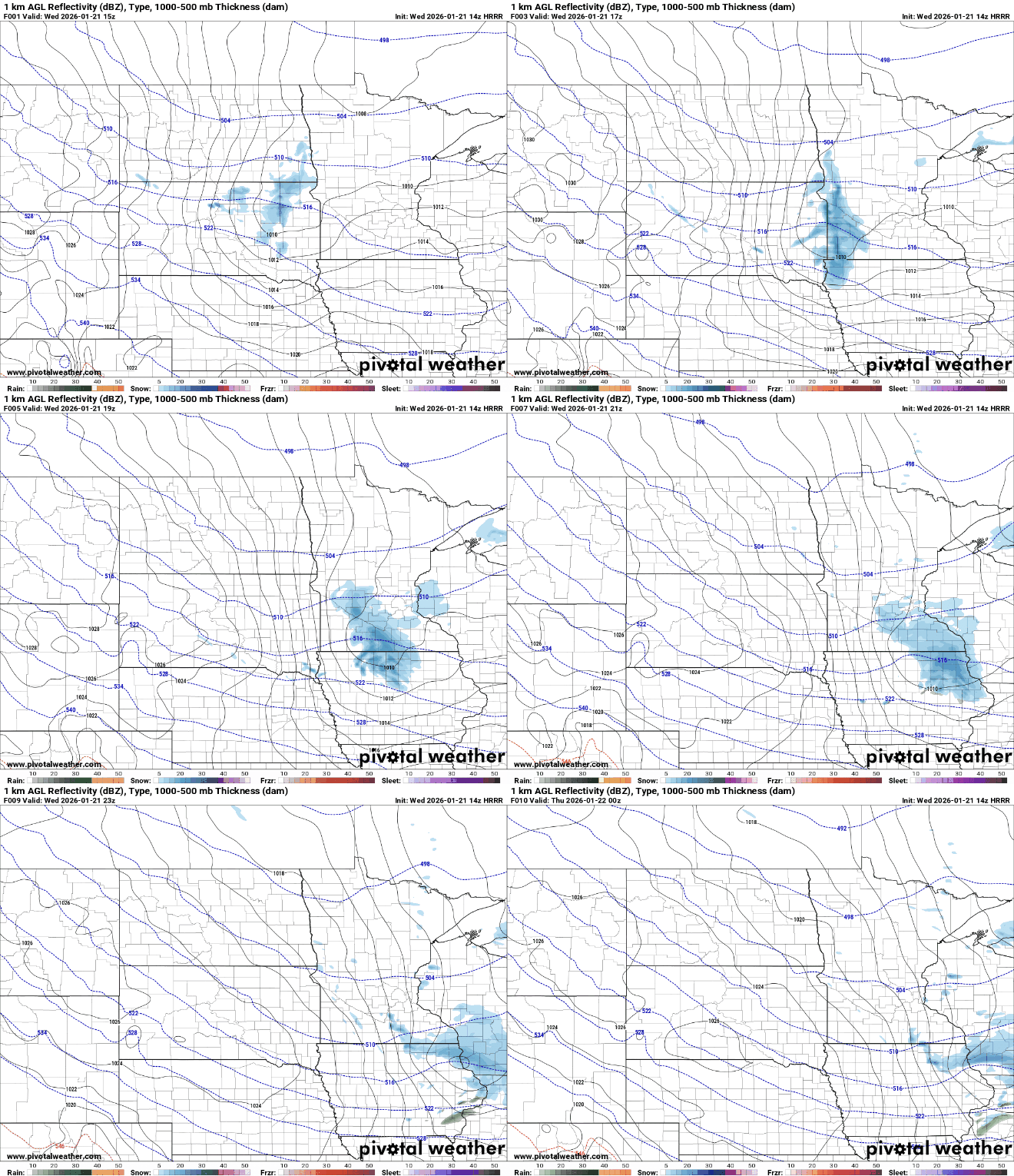
Additional snowfall of up to 1 inch is possible for much of central and southern Minnesota Wednesday with a few spots receiving 2 inches.
A winter weather advisory is posted for western and southern Minnesota much of Wednesday due to blowing and drifting of the fresh 1 to 2 inches of snowfall.
Turn Up Your Support
MPR News helps you turn down the noise and build shared understanding. Turn up your support for this public resource and keep trusted journalism accessible to all.

It will be briefly milder Wednesday with temperatures close to normal, in the 20s and teens for afternoon highs.

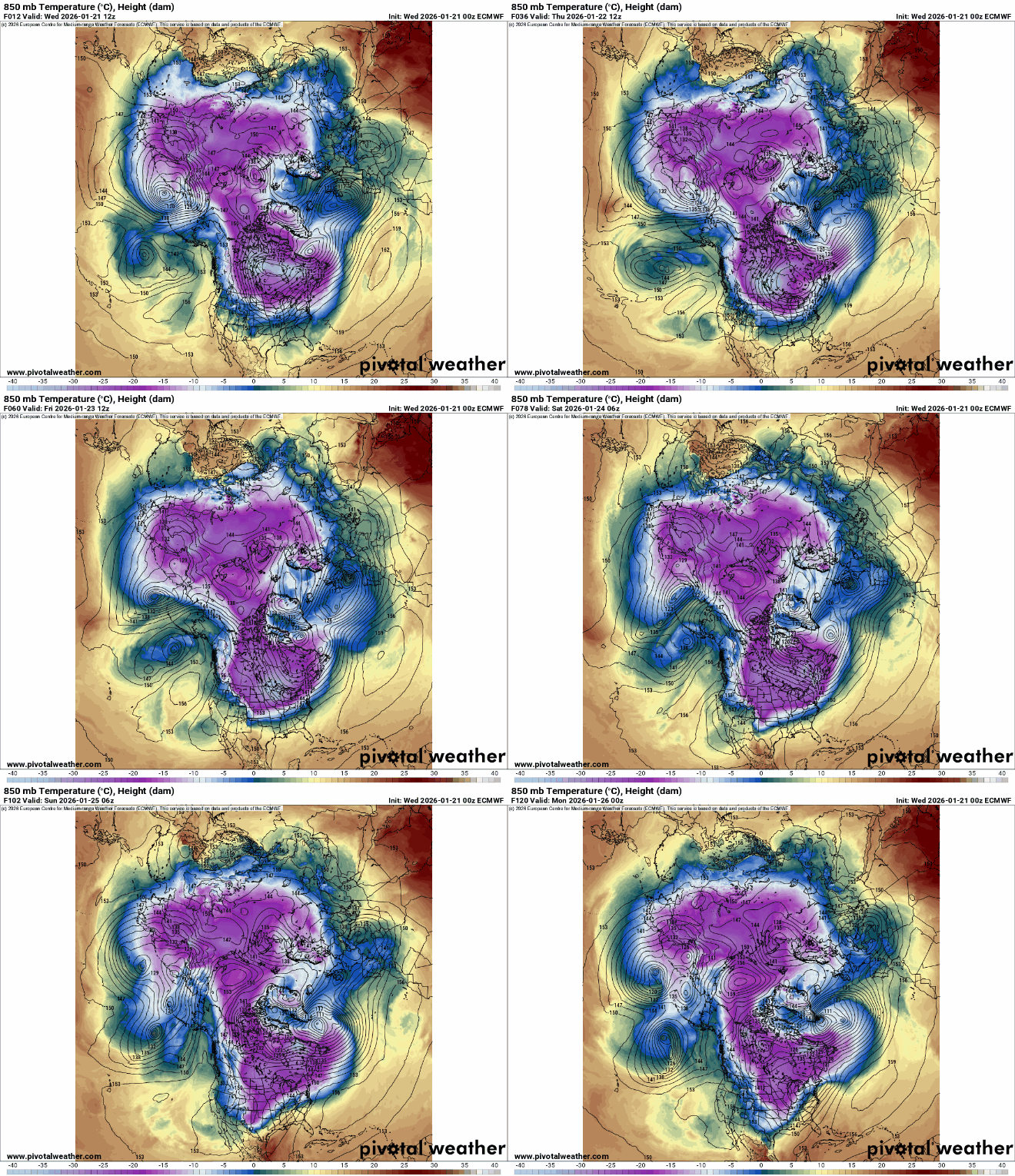
Some of the coldest air on the planet and the coldest air of our winter season moves in Wednesday night through the weekend. The polar vortex is essentially split into two with one area in Siberia and another diving south out of northern Canada, headed our way.
Overnight lows will drop well below zero in northern Minnesota. Far northern Minnesota will see lows in the teens to near 20 below zero.

Thursday will remain below zero north while we struggle to climb above zero in southern Minnesota.

The coldest readings come Thursday and Friday nights with teens, 20s and 30s below zero.

Wind chill values will be near 50 below zero for northern Minnesota early Friday.

Afternoon highs Friday will remain well below zero with parts of northern Minnesota seeing only highs in the teens below zero.

There’s a slew of cold weather advisories and extreme cold watches and warnings starting Wednesday night in northern Minnesota through Saturday and beginning Thursday night in southern Minnesota.


