
Extreme cold Friday, temperatures will remain below normal into next week
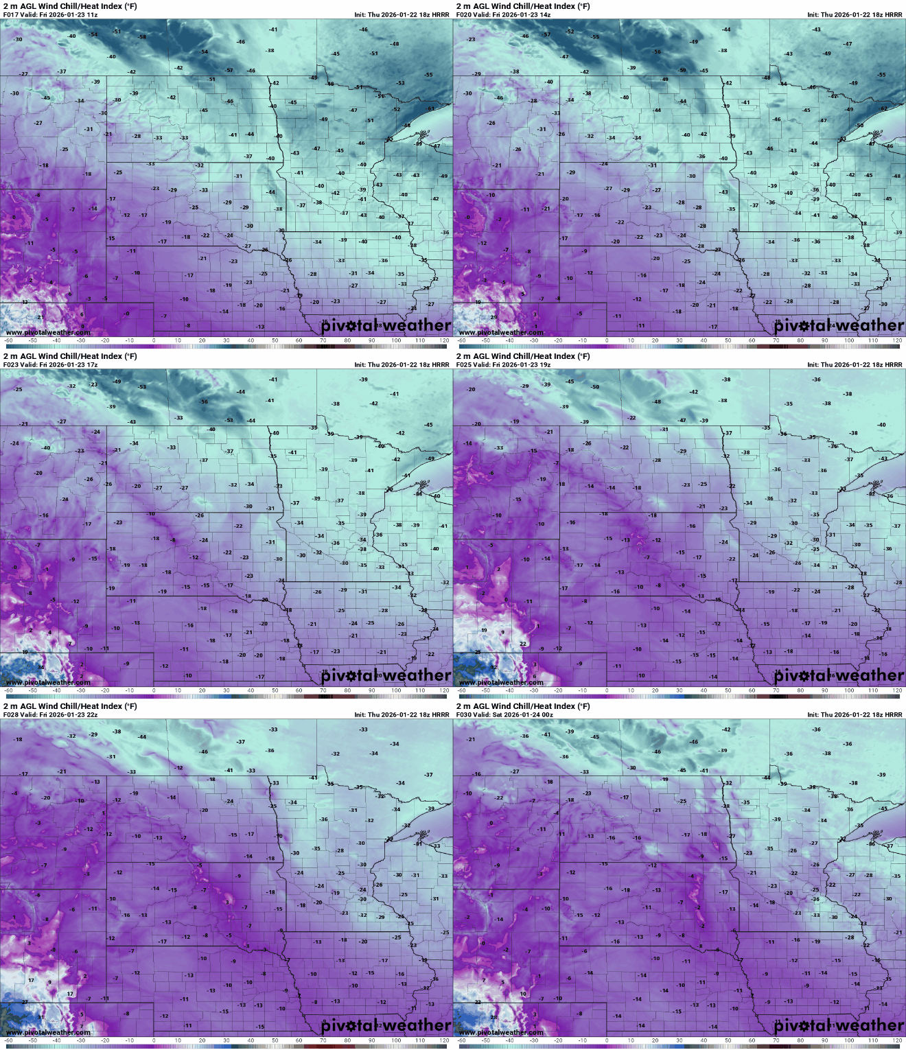
Wind chills this morning will range from 35 to 55 below zero
Go Deeper.
Create an account or log in to save stories.
Like this?
Thanks for liking this story! We have added it to a list of your favorite stories.


Very cold air remains in place Friday with subzero highs and frigid wind chills all day. We drop back into the teens to near 30 below zero Friday night. Temperatures will remain below normal into next week.
Extreme cold Friday with below-normal temperatures continuing into next week
Some of us are waking up to our coldest temperatures in seven years!
In the Twin Cities, Minneapolis-St. Paul International Airport dipped to 21 degrees below zero, making it the coldest reading there since 2019 when it was 28 below zero. Duluth reached 29 below zero, their coldest in 5 years.
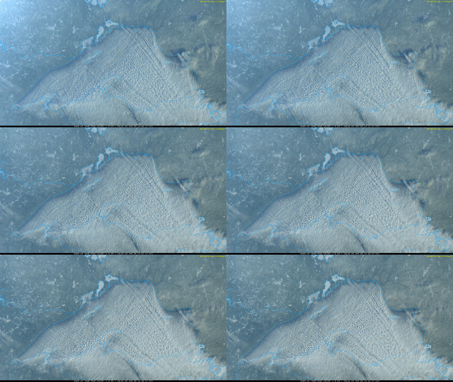
It was so cold that Lake Superior looks like a hot tub with surface water temperatures in the 30s:
Turn Up Your Support
MPR News helps you turn down the noise and build shared understanding. Turn up your support for this public resource and keep trusted journalism accessible to all.
Wind chills Friday morning range from 35 below zero to as much as 60 below across the state — in dangerously cold territory. Exposed skin can freeze in just minutes. An extreme cold warning remains in place through midday Friday.

We’ll see sunshine but it won’t matter much. Afternoon highs will remain below zero through the day with just teens below zero north.

Friday night will be another cold night but with lighter winds and cloud cover from the big snowstorm south of Minnesota. That storm will keep temperatures from being quite as cold in southern Minnesota.

Saturday will remain cold but a few lucky spots in southern Minnesota will reach zero or just above zero by the afternoon with a mix of clouds and sun.

Temperatures remain cold next week with mostly teens and single-digit highs for southern Minnesota and single digits north. We’ll see more subzero nights, but not quite as cold.

Temperatures will average 15 to 20 degrees below normal much of next week still for most of Minnesota.


