Cold weather advisories continue as temperatures stay below zero
Arctic sunshine for the weekend with bitter wind chills

Go Deeper.
Create an account or log in to save stories.
Like this?
Thanks for liking this story! We have added it to a list of your favorite stories.


Bright sunshine will dominate the weekend forecast, though bitter Arctic air will continue to drive wind chills well below zero. Temperatures will stay well below average with little moderation expected.
Continued cold under sunny skies
Cold weather advisories are expected to expire by midmorning, but parts of central and northern Minnesota will remain under cold weather headlines through Saturday night. Farther north, extreme cold warnings continue until noon, with wind chills dropping as low as 45 below zero.

The worst of the Arctic air is past, but Saturday wind chills will still be dangerously cold, from the teens below zero to the 30s below zero.
Turn Up Your Support
MPR News helps you turn down the noise and build shared understanding. Turn up your support for this public resource and keep trusted journalism accessible to all.
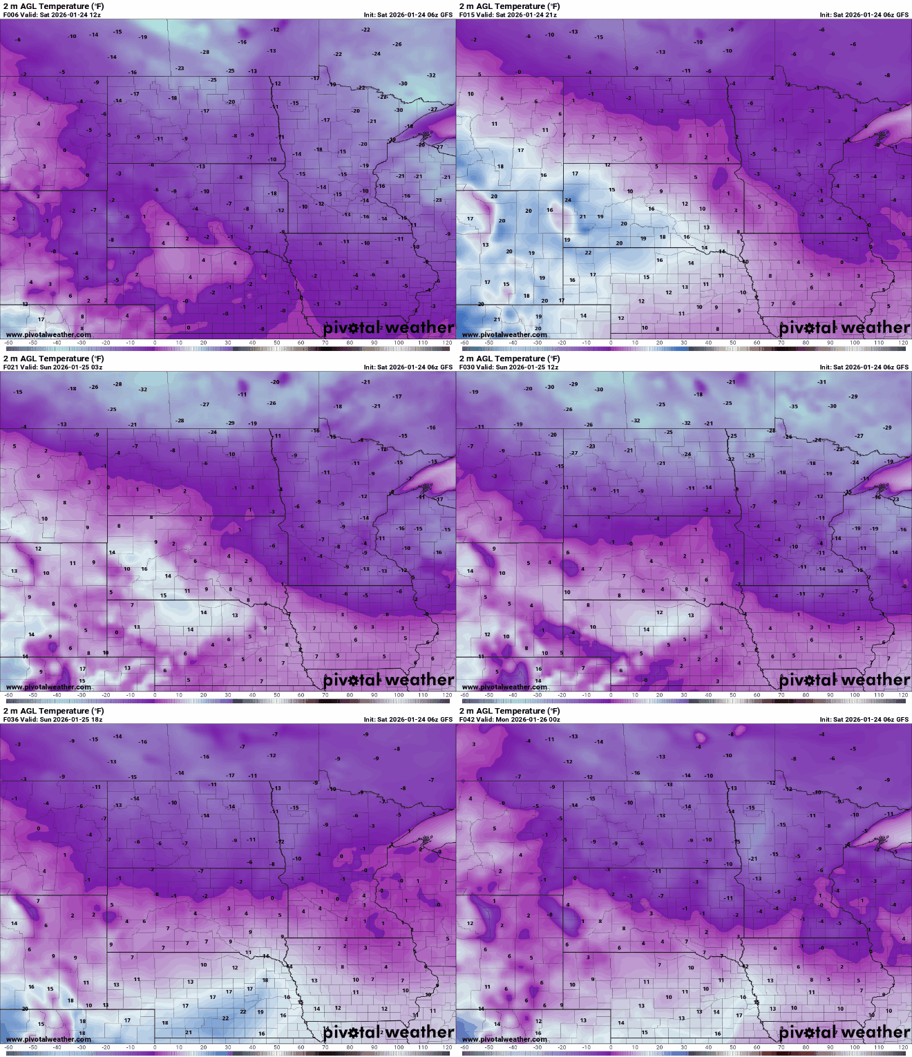
Our low temperatures Saturday night will once again fall into the single digits, teens and 20s below zero, with lighter winds.

The area of high pressure responsible for the cold will move east toward the Great Lakes, allowing southerly flow to develop. Winds will increase slightly and help temperatures “warm” a bit.
Highs Saturday and Sunday are expected to climb into the single digits above and below zero. By Sunday afternoon, central and southern Minnesota should finally reach temperatures above zero, ending the stretch of subzero readings.
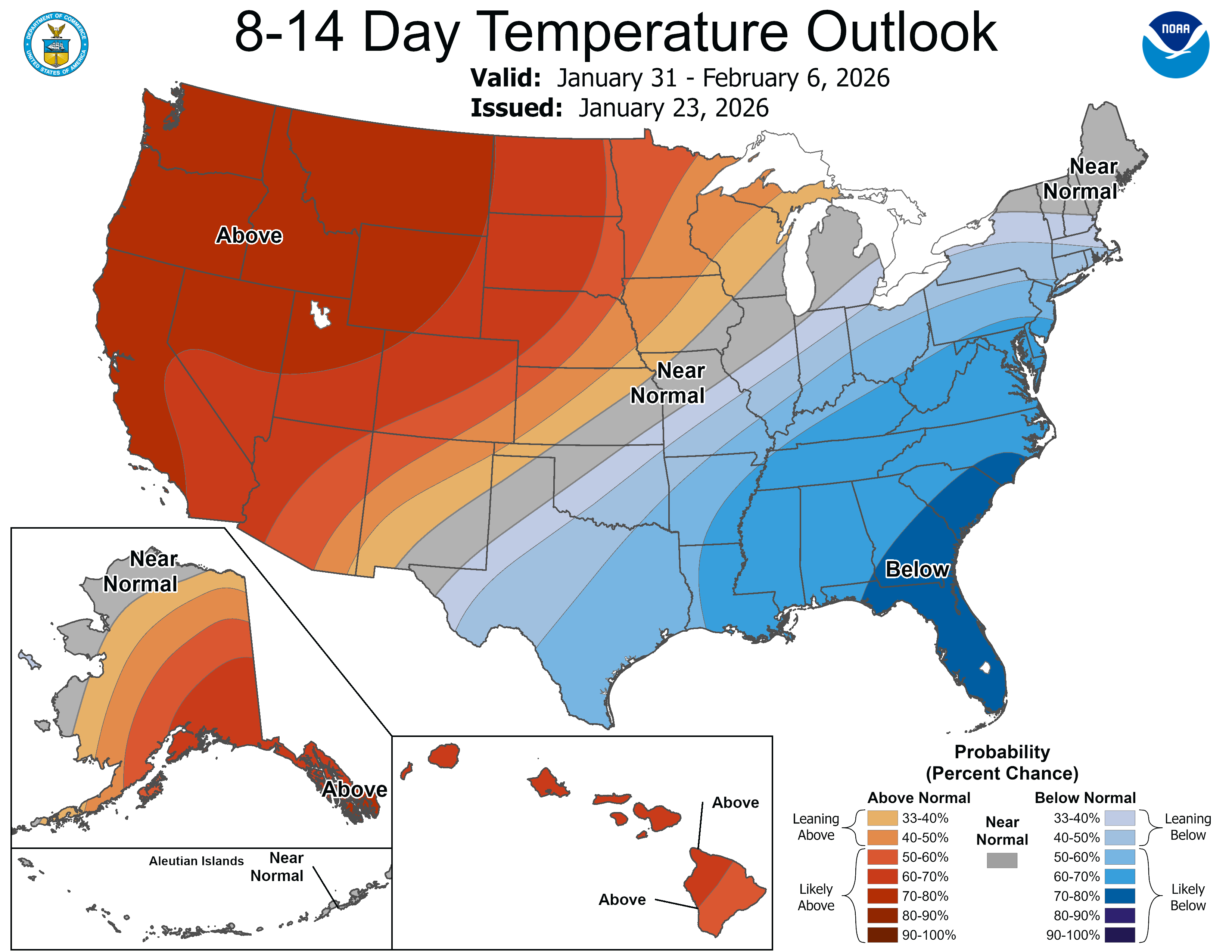
The cold weather is expected to persist into next week, with temperatures remaining well below normal through the end of January. Looking ahead, there is some promising news of a warmup at the start of February, as the upper-level wind pattern shifts from a cold northwesterly flow to a more west-to-east pattern.