
Above-zero stretch arrives after days of subzero cold
Another night of bitter cold expected; wind chills -25 to -35

Go Deeper.
Create an account or log in to save stories.
Like this?
Thanks for liking this story! We have added it to a list of your favorite stories.


After nearly 72 hours of subzero temperatures in the Twin Cities, readings are finally expected to climb above zero Sunday, though frigid wind chills will return overnight. Light snow is possible Monday night in northern Minnesota, while the rest of the week is forecast to remain cold and mostly quiet.
First above-zero temperatures since Thursday
Slightly warmer temperatures are expected Sunday as parts of central and southern Minnesota finally rise above zero. The Twin Cities will have experienced nearly 72 consecutive hours of subzero temperatures before climbing above zero.
Clearer skies Sunday night will allow temperatures to fall quickly as high pressure builds in. Unlike Saturday night, increasing winds will make wind chills a concern. Overnight wind chills are expected to range from 25 to 35 degrees below zero, with a few isolated locations possibly nearing 40 below around sunrise Monday.

Because of the cold temperatures and light winds, cold weather advisories and extreme cold warnings remain in effect. An extreme cold warning continues for northwestern Minnesota until noon Sunday, while cold weather advisories remain in place statewide.

Looking ahead, a fast-moving clipper system is expected to move across northern Minnesota into north-central Wisconsin Monday night, bringing light snow accumulations of less than an inch.
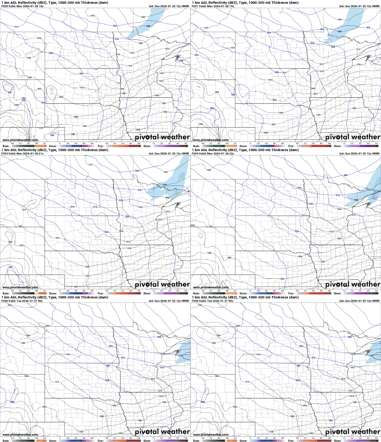
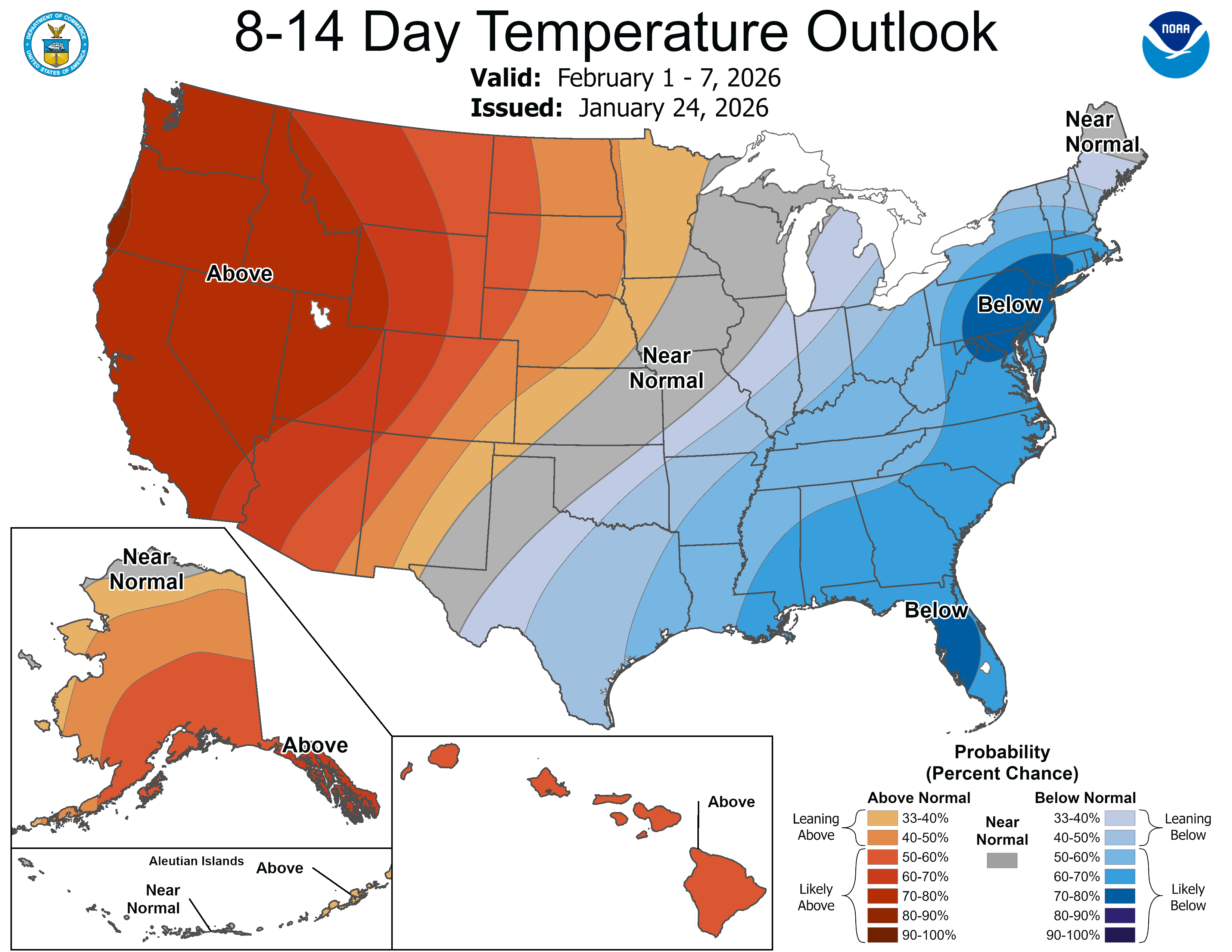
The rest of the week is expected to remain cold and mostly quiet, with only occasional flurries possible after Monday’s clipper system. High temperatures will stay mostly in the single digits through midweek before rising into the low teens. By next weekend, a shift in the upper-level pattern could allow temperatures to rebound into the 20s.
Turn Up Your Support
MPR News helps you turn down the noise and build shared understanding. Turn up your support for this public resource and keep trusted journalism accessible to all.

