
Temperatures climb above zero after frigid stretch; another chilly night ahead
Extreme cold warnings, cold weather advisories remain in effect
Go Deeper.
Create an account or log in to save stories.
Like this?
Thanks for liking this story! We have added it to a list of your favorite stories.


Despite temperatures rising above zero Sunday, a cold front will move through Sunday night, bringing another surge of Arctic air and prompting extreme cold warnings and cold weather advisories across the region.
Cold front delivers more cold air
A cold front moving through Sunday night will bring clearer skies and lighter winds across the Upper Midwest. Temperatures are expected to drop into the 20s below zero north of Interstate 94.

While winds may not go completely calm, they will be enough to produce another round of hazardous wind chills.
Turn Up Your Support
MPR News helps you turn down the noise and build shared understanding. Turn up your support for this public resource and keep trusted journalism accessible to all.

Wind chills accompany the cold weather advisories and extreme cold warnings across the state. The extreme cold warning is in effect until noon Monday, while cold weather advisories remain until 11 a.m.

After a frigid start Monday morning, temperatures are expected to rise above zero statewide. The Twin Cities spent 69 hours below zero before finally warming above zero Sunday afternoon.

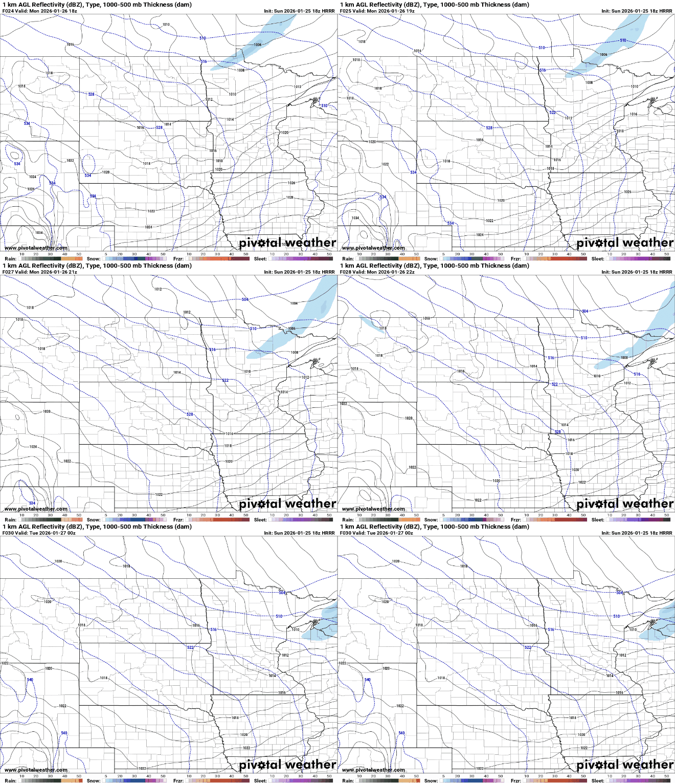
A fast-moving clipper system is expected to slide southeast into the northern Great Lakes by Monday night. Light snow is increasingly likely across parts of northern Minnesota and northern Wisconsin. Some accumulation is expected, but totals should remain around a half inch or less.
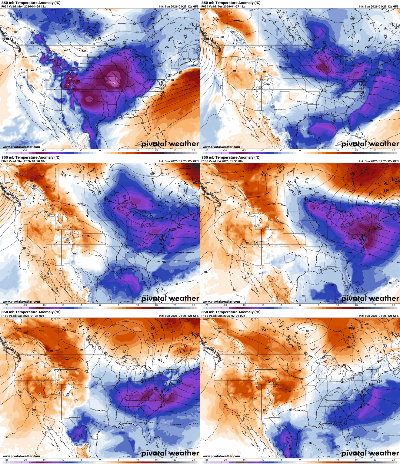
This week will feature occasional reinforcing shots of Arctic air with a northwest flow pattern. Flurries are possible at times, but dry air will limit any significant snowfall. A gradual warmup is possible next weekend as milder Pacific air moves into the Upper Midwest, bringing a chance for light snow as well.

