Minnesota waits as snow piles up across the United States
Minnesota's current snow depth lacking

Go Deeper.
Create an account or log in to save stories.
Like this?
Thanks for liking this story! We have added it to a list of your favorite stories.


Despite major gains in snow depth across large portions of the United States, Minnesota continues to lag behind for late January.
Snow depth map shows dramatic changes after major winter storm
The latest national snow depth map shows just how dramatically the recent winter storm reshaped snow cover across much of the United States.
From Jan. 22–27, a sprawling winter system tracked from the central United States to the Atlantic Coast, bringing heavy snow, and ice across dozens of states.
The storm produced snowfall totals exceeding two feet in parts of New England and the interior Northeast, with some locations recording more than 20 inches of snow.
Turn Up Your Support
MPR News helps you turn down the noise and build shared understanding. Turn up your support for this public resource and keep trusted journalism accessible to all.
Below is the map comparing the snow depth from one week ago, Jan. 21, to Jan. 28. You can see the vast spread of snowfall across a large portion of the country as far south as north Texas and the Louisiana and Arkansas border.

Minnesota has plenty of cold but snow still sparse
Despite a major winter storm boosting snow depth across much of the country, Minnesota’s snowpack remains a bit underwhelming for late January, especially across the southern half of the state.
Our La Niña weather pattern for Minnesota usually means plenty of cold air, but fewer moisture-rich storms, especially across central and southern parts of the state.

According to the Minnesota Department of Natural Resources snow depth map, much of southern and central Minnesota is sitting in the 4 to 8-inch range, with some pockets closer to just 2 to 4 inches.
For a point in the winter when snow depths often measure well into the double digits, that’s a noticeable deficit.
The deepest snow is confined to northern Minnesota, particularly the Arrowhead region and parts of northeastern Minnesota, where snow depths climb into the 15 to 24-inch range, with a few isolated higher totals.
This lack of snow isn’t due to warmth. Minnesota has had plenty of cold air. Instead, this pattern has favored cold, dry systems or storms that tracked just far enough south or east to miss much of the state.
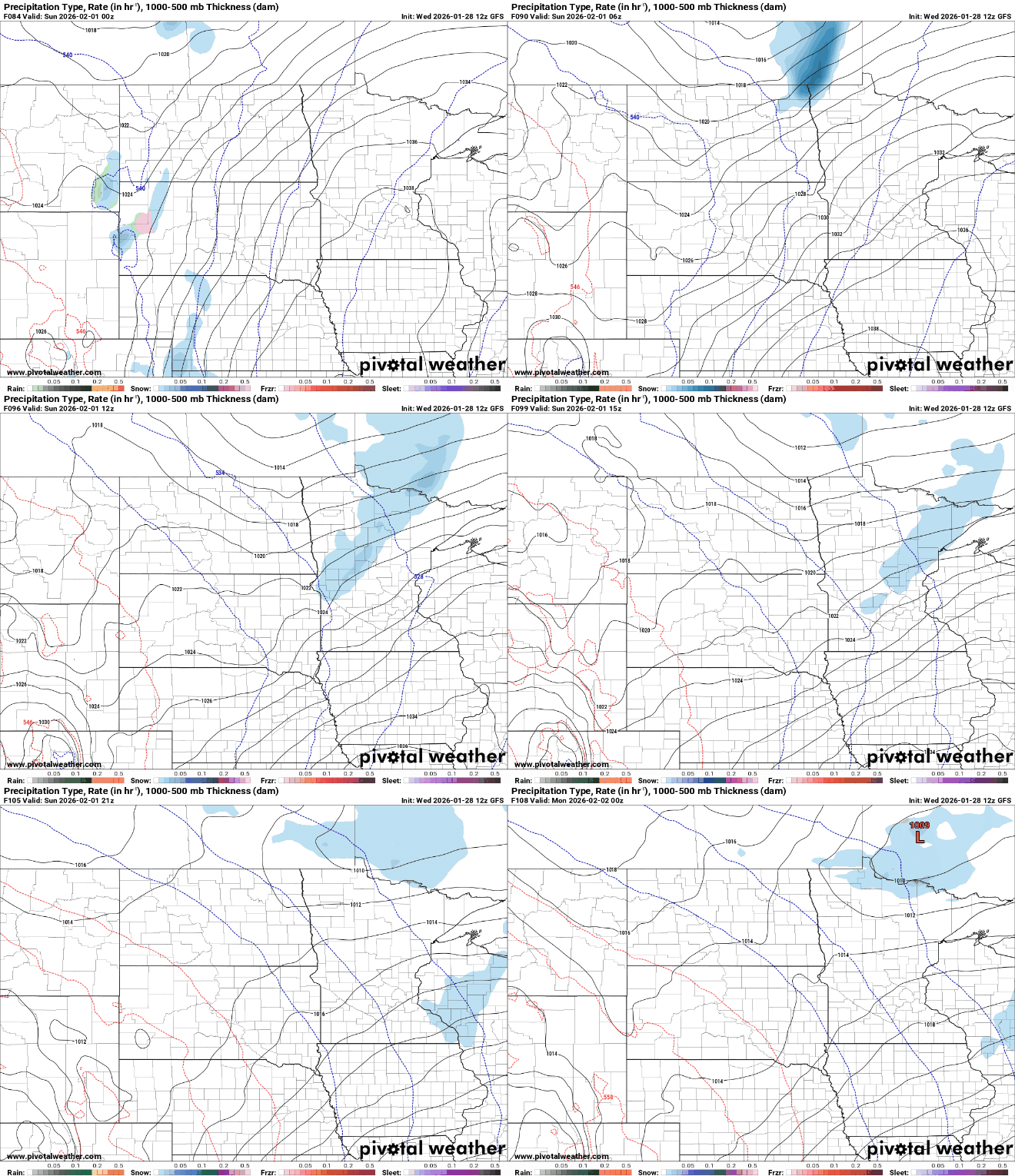
Our next chance for snowfall comes on Sunday as another clipper system tracks through the region. This system may bring a quick coating to mainly the northern half of the state.