
Snow at last: A light weekend dusting ahead across Minnesota
Warming weekend temperatures expected
Go Deeper.
Create an account or log in to save stories.
Like this?
Thanks for liking this story! We have added it to a list of your favorite stories.


We’re ditching the deep freeze this weekend as light snow moves in and temperatures begin to moderate.
Weekend snow: Light but widespread
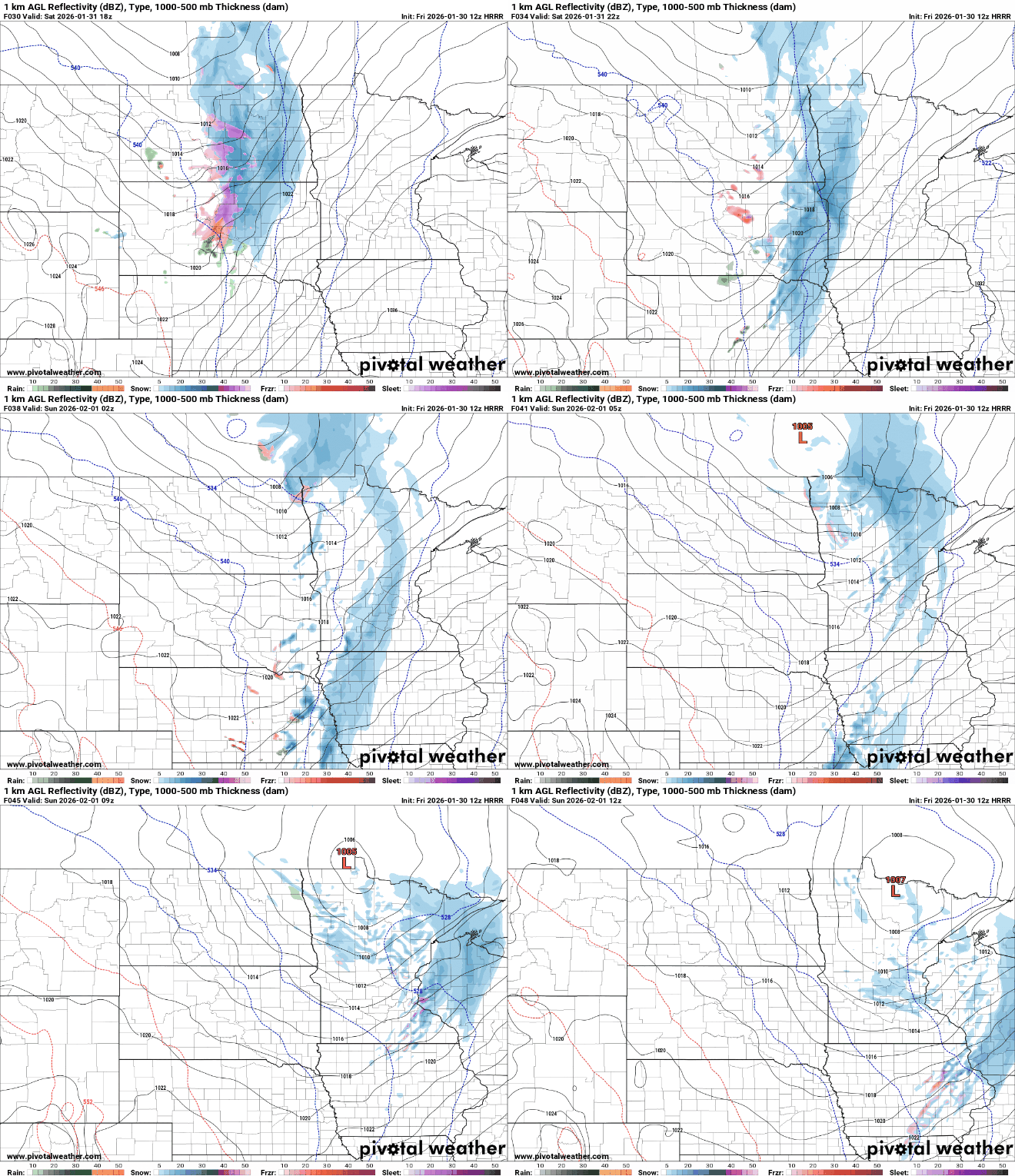
Out with the cold, in with some flakes. Attention turns to the weekend as a fast-moving clipper system tracks along the U.S.-Canadian border. A band of light snow is expected to develop Saturday night and linger into Sunday.
Snowfall rates will be light, but the duration of the system should allow accumulations to add up. Most areas are expected to receive 1 to 1.5 inches by the time the snow tapers off Sunday morning.
Parts of northwestern Minnesota, including areas near the Red River Valley, could see totals closer to 2 inches.

Temperatures will finally start to turn the corner as we tap into some milder Pacific air. Highs on Saturday will climb into the teens with plenty of sunshine, and by Sunday we’ll be closer to normal, with upper 20s to even low 30s across southwestern Minnesota.

We’ve earned this one, Minnesota. Enjoy the weekend.
Turn Up Your Support
MPR News helps you turn down the noise and build shared understanding. Turn up your support for this public resource and keep trusted journalism accessible to all.

