
Snow develops late Saturday into Sunday with milder temps ahead
Highs could be in the 30s by late week
Go Deeper.
Create an account or log in to save stories.
Like this?
Thanks for liking this story! We have added it to a list of your favorite stories.


We have some fresh snow on the way for the first time in 10 days. Temperatures will be milder in the days ahead as well with 30s possible by late week.
Fresh snow on the way as well as milder temperatures
Temperatures are nearly 10 degrees warmer than yesterday as the frigid Arctic air continues to retreat east late Saturday into tomorrow. We’re in for a milder pattern overall in the days ahead for the upcoming week.

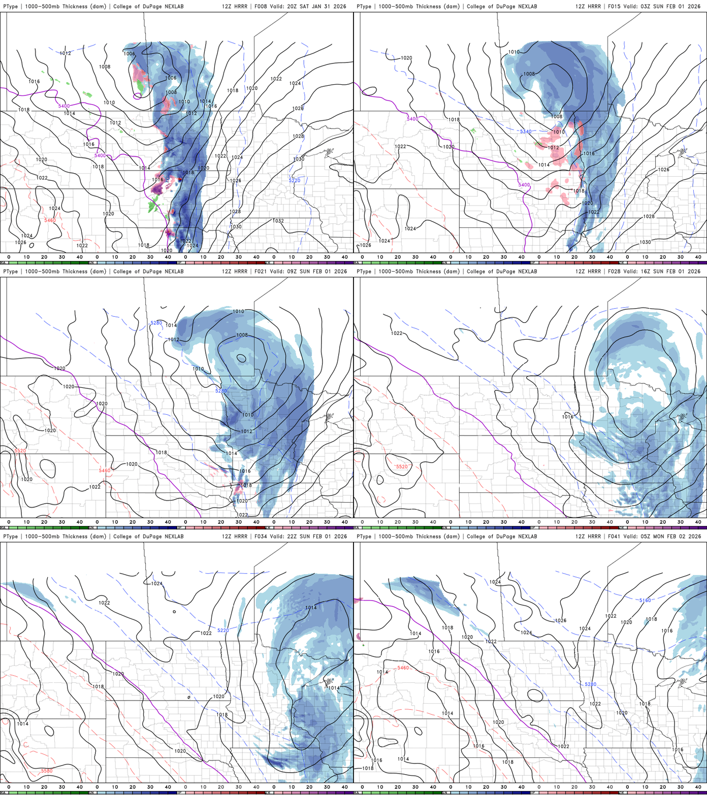
The retreat of the cold also allows the jet stream, the main storm track for weather systems, to return as well. Snow showers are already developing in the eastern Dakotas and far western Minnesota. Those snow showers will track east this evening into the overnight through midday Sunday before wrapping up early Sunday afternoon in eastern Minnesota.
This will be the biggest snowfall since the end of December for many places. The cold pattern this month kept most snowfalls light. Much of the state will see 1 to 2 inches of snow with some 3 inch amounts possible. The heaviest corridor looks to be along or north of I-94.

Sunday will also see milder temperatures. The trade off with milder air in winter is usually more cloud cover though too. Highs will be in the 30s in southwest Minnesota with 20s for most of the state.

Temps dip just a bit for Monday and Tuesday behind Sunday’s clipper system, back in the teens to near 20-degrees for most, slightly cooler than normal, but still warmer than most of the last 10 days.

Temperatures will trend back upward through the week with highs in the 30s for many by Thursday potentially.

Turn Up Your Support
MPR News helps you turn down the noise and build shared understanding. Turn up your support for this public resource and keep trusted journalism accessible to all.

