
Cold weather snaps back briefly. Noticeable warmup on the way
Spotty, light snow chances with northwest flow pattern

Go Deeper.
Create an account or log in to save stories.
Like this?
Thanks for liking this story! We have added it to a list of your favorite stories.


Snow is wrapping up across the area as a cold front moves through, with colder temperatures following close behind.
Cold front briefly brings back Arctic air
A cold front moving through the region brought an end to accumulating snow across much of the area Sunday. Snowfall totals in the metro area ranged from 1 to 2 inches. The snowfall map below shows totals as of Sunday morning, though additional bursts of snow occurred later in the day.

Colder air will quickly follow, with temperatures dropping into the single digits overnight Sunday, with some low teens for southwestern Minnesota.
Below-average temperatures will settle in Monday and Tuesday, with daytime highs mainly in the teens. Despite the colder readings, conditions will feel relatively mild compared with the deep freeze of the past two weeks.

Looking ahead, a persistent northwest flow pattern will remain in place through the rest of the week. Temperatures are expected to gradually warm, with near to above-average readings returning by the latter half of the week. A notable warmup is forecast for Thursday, when some areas could see highs climb to around 40 degrees, roughly 10 to 15 degrees above average.
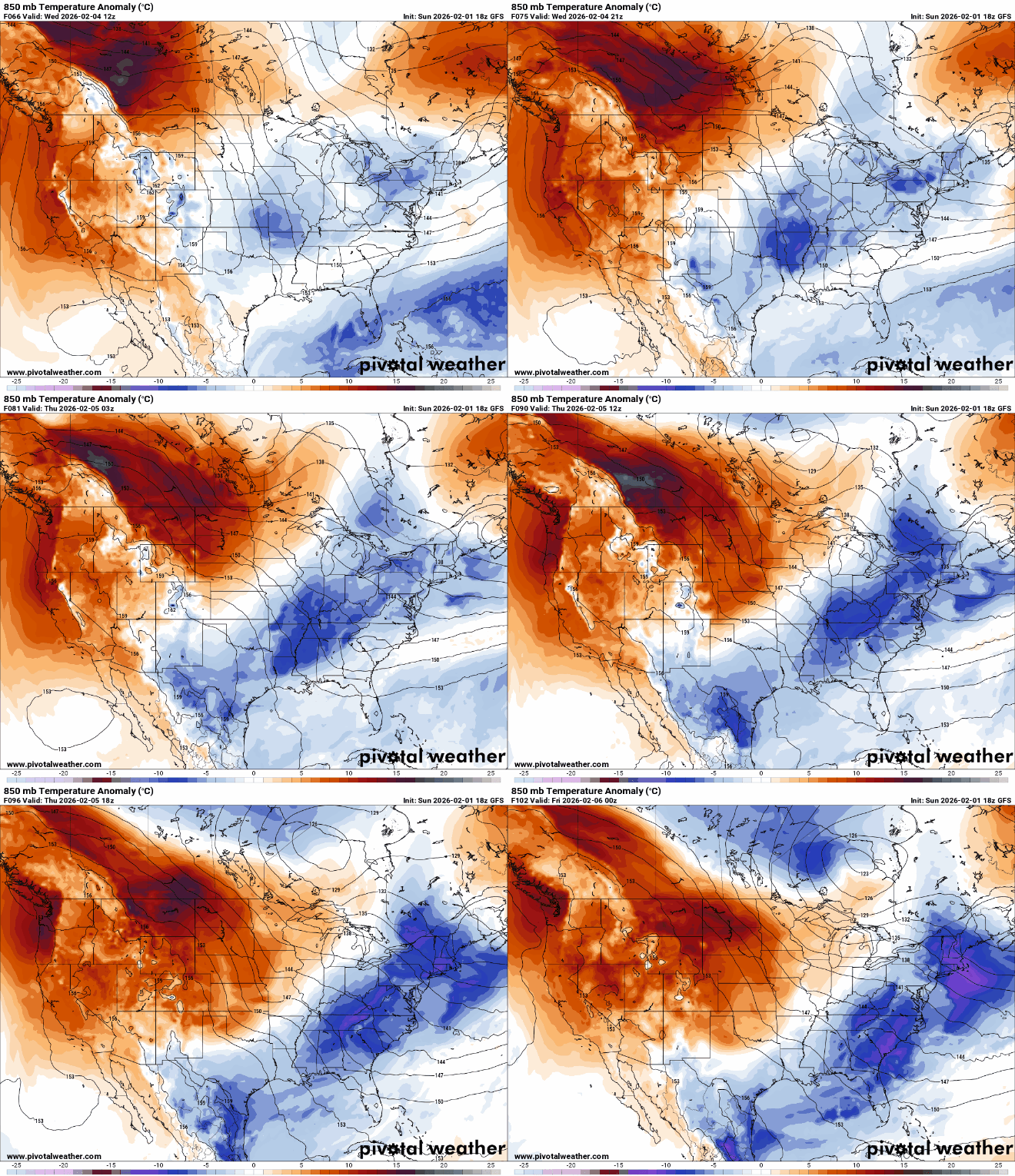
Several weak clipper systems will move through the region this week, bringing occasional chances for light snow. A somewhat stronger system may arrive late Thursday.
Turn Up Your Support
MPR News helps you turn down the noise and build shared understanding. Turn up your support for this public resource and keep trusted journalism accessible to all.

