
Snow continues Sunday, temperatures warm up through the week
Brief cooldown Monday; clipper system for Thursday

Go Deeper.
Create an account or log in to save stories.
Like this?
Thanks for liking this story! We have added it to a list of your favorite stories.


Light snow will continue Sunday across Minnesota, with highs reaching the 20s and 30s before a cold front brings a brief cooldown Monday.
Occasional snow flurries for Sunday
A band of steady snow crossed the state late Saturday night into Sunday morning, delivering several inches in parts of northwestern Minnesota. Crookston recorded 3.6 inches of snow, while Detroit Lakes received 3.5 inches, and the Twin Cities metro saw generally a half inch to an inch — the first measurable snowfall in about 10 days for many areas.
A winter weather advisory remains in effect for the Red River Valley of northwestern Minnesota, where gusty winds could lead to areas of blowing snow.

Light snow showers persist across the state as a warm front continues to advance.
Turn Up Your Support
MPR News helps you turn down the noise and build shared understanding. Turn up your support for this public resource and keep trusted journalism accessible to all.
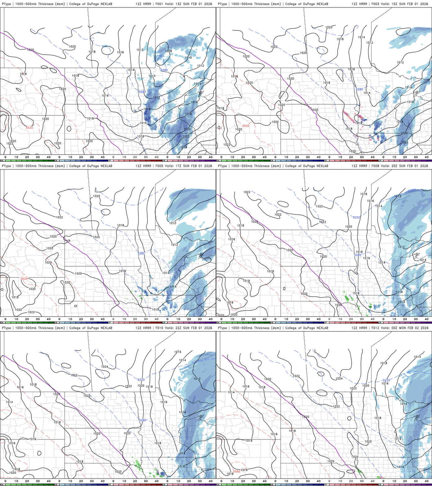
Several hours of light snow are expected Sunday, with additional accumulations ranging from a trace to an inch. Heavier amounts are possible in western Wisconsin and along the North Shore.
The warmest temperatures in weeks are expected Sunday afternoon, with highs climbing into the 20s and 30s.

A brief cooldown is expected Monday after a cold front moves through Sunday afternoon. The front will usher in another round of Arctic air, bringing temperatures back to just below seasonal averages early in the week.

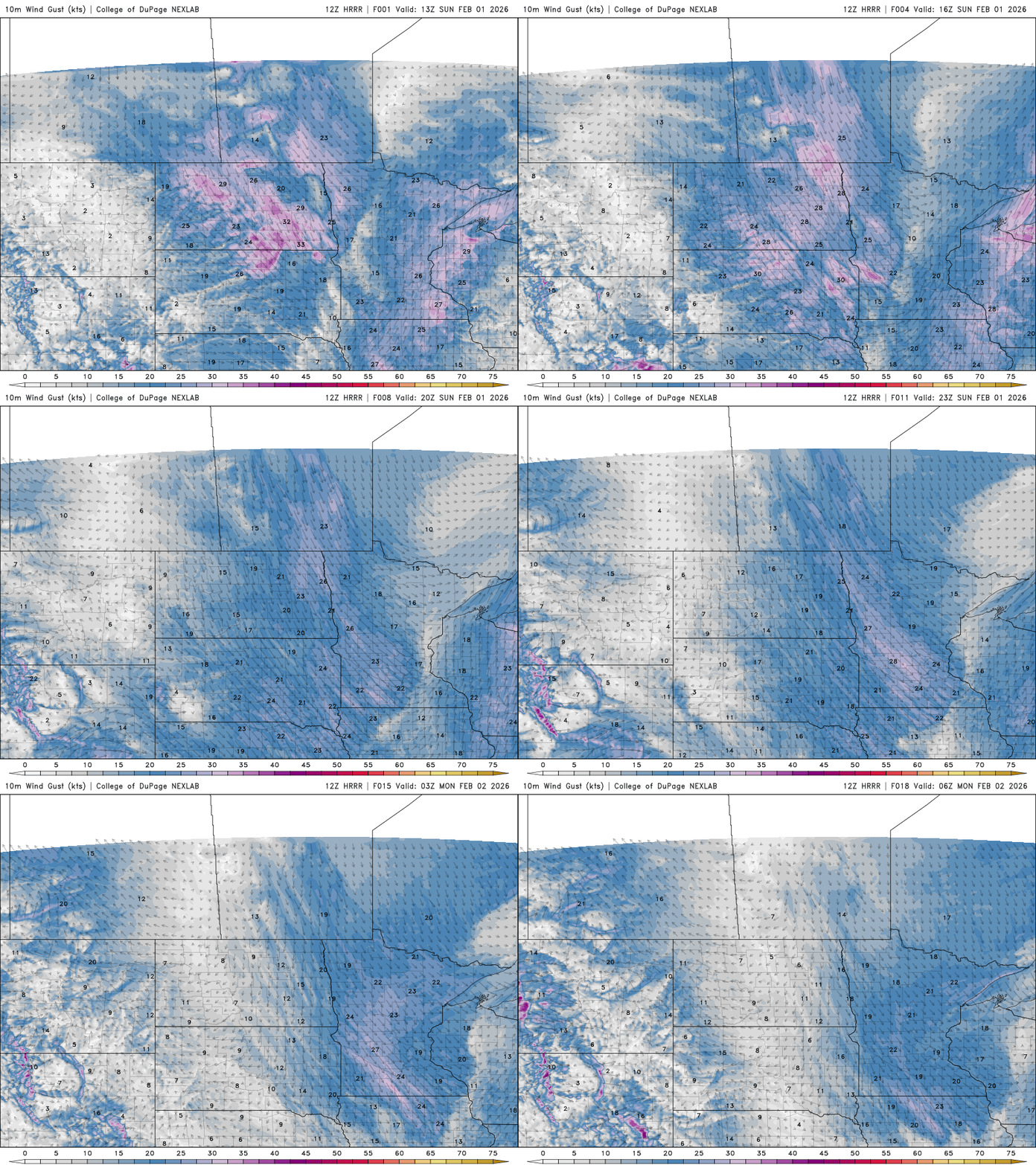
Winds will become blustery ahead of the cold front and continue into Sunday night.
A weak clipper system is expected to slide southeast from the Dakotas into Nebraska Monday night, potentially producing a few flurries for southern Minnesota.
Looking ahead, a stronger clipper system is forecast to dive southeast toward the Great Lakes on Thursday. That system is expected to usher in milder air, with high temperatures climbing into the mid-30s to lower 40s.

Enjoy our well-deserved warmup!

