
A bit cooler Monday and Tuesday, but overall a milder week
It will also be somewhat active with more light snow chances

Go Deeper.
Create an account or log in to save stories.
Like this?
Thanks for liking this story! We have added it to a list of your favorite stories.


Monday and Tuesday will be briefly cooler, but milder air prevails this week overall. We’ll see a few more light snow chances for portions of the state, too.
Overall a milder and somewhat active week
It’ll be a bit cooler Monday and Tuesday in the wake of Sunday’s clipper system, but still much milder than the air we had last week. Highs Monday will be mostly in the teens to near 20-degrees.

The northern half of Minnesota will drop below zero overnight Monday, making for a cold night with teens below zero in far northern Minnesota.

Highs Tuesday will be back mostly in the teens across the state with a few cooler and warmer pockets in the northwest and southwest.
Turn Up Your Support
MPR News helps you turn down the noise and build shared understanding. Turn up your support for this public resource and keep trusted journalism accessible to all.

Rather mild air is moving back in mid to late week giving central and southern Minnesota a ‘mini-one-day’ thaw Thursday.
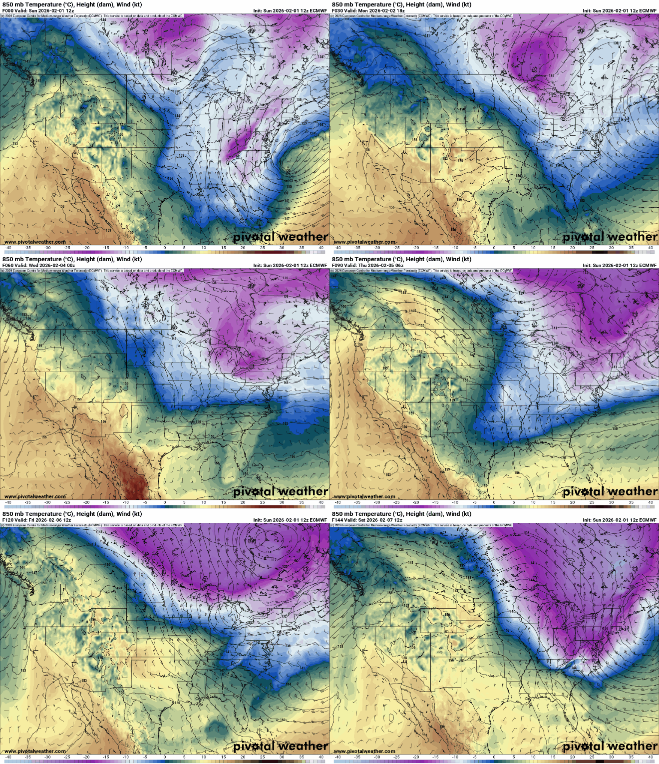
Thursday looks to be the warmest day of the week with highs in the 30s for most of the state. Southwest Minnesota could even see highs in the mid 40s.

The pattern will remain somewhat active with light snow chances late Monday into Monday night in southwest Minnesota and then across a large portion of the state Tuesday night into early Wednesday and northern Minnesota Thursday.
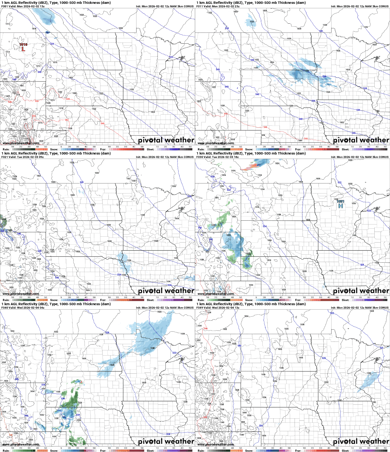
Any snowfall out of the late Monday and Tuesday night systems looks to be pretty light with just a dusting to one half inch for some.


