
Cool, bright Tuesday with much milder air on the way
Couple of light snow chances
Go Deeper.
Create an account or log in to save stories.
Like this?
Thanks for liking this story! We have added it to a list of your favorite stories.


We’ll have another cool but bright day Tuesday before temperatures warm up Wednesday and Thursday. A couple of weak clipper system will bring some light snow chances also.
Temperatures trend back upward
It’s a cold start up north with subzero temperatures once again. We’ll see another somewhat cooler day Tuesday with afternoon highs in the teens for most. We should see a brighter day with clouds breaking up for most of the state.

Another weak clipper system will deliver some light snow showers and flurries overnight Tuesday into early Wednesday for a good portion of the state.
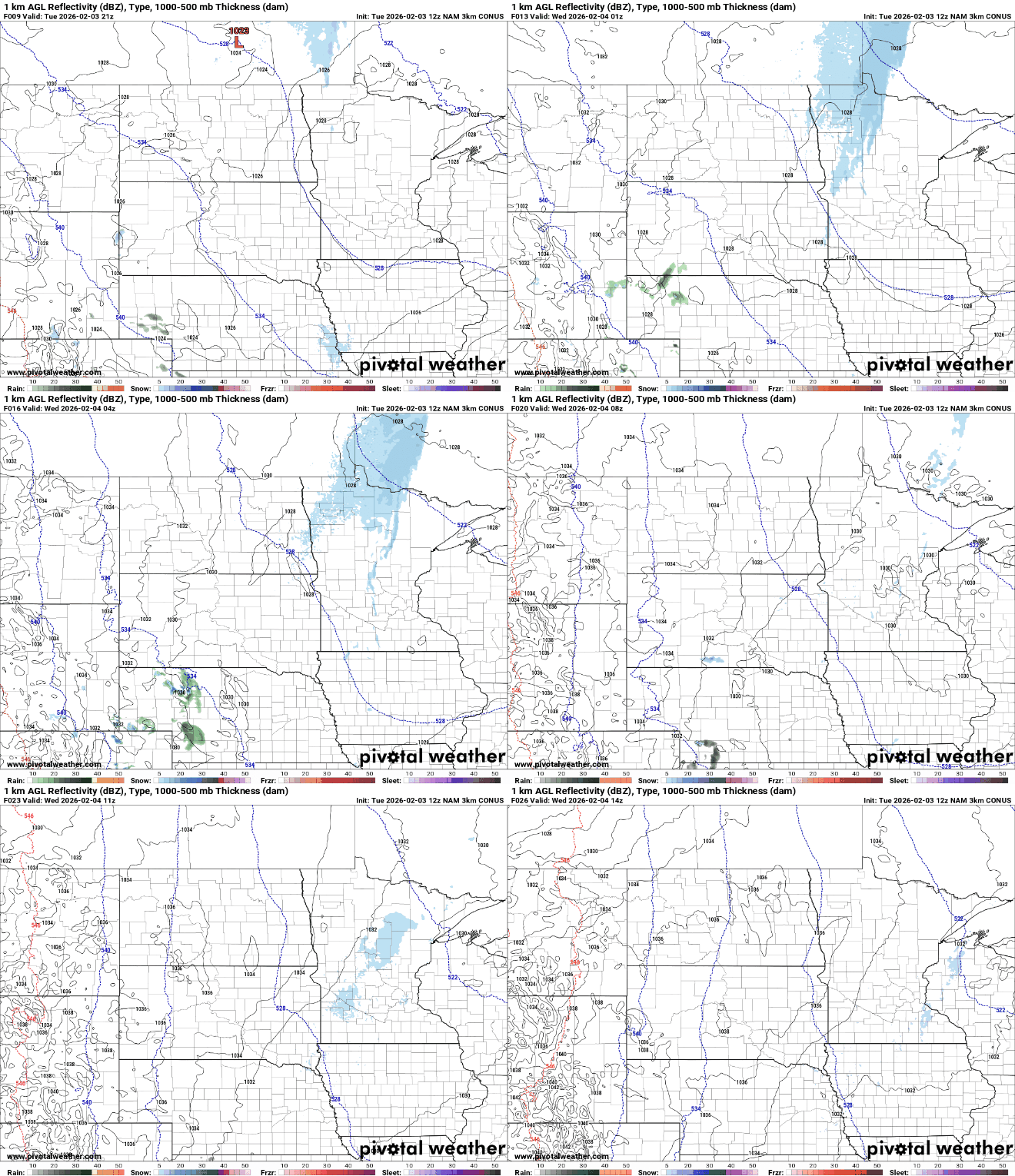
Any accumulation will generally be just a dusting to a coating and mainly north and west of the Twin Cities area.
Turn Up Your Support
MPR News helps you turn down the noise and build shared understanding. Turn up your support for this public resource and keep trusted journalism accessible to all.

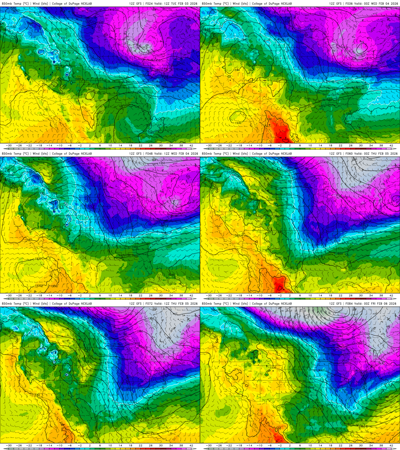
Temperatures jump up into the 20s Wednesday for most of the state, which is about near-normal.

We’re in for a one day thaw Thursday with highs in the 30s and even 40s in southern Minnesota, nearly 10 to 20 degrees above normal.

Northeastern Minnesota could see additional light snow with another disturbance Wednesday night into Thursday. Temperatures look to remain mostly in the 20s and 30s beyond Thursday with no real arctic air in sight.
In fact, next week is looking increasingly quite mild. Take a look at this blurb from the Twin Cities National Weather Service forecast discussion this morning:

A couple different forecast models now push temperatures up to 50 degrees next Tuesday with a potential for 60 degrees in southwestern Minnesota. It’s too early to know if these forecasts will be reality just yet, but clearly mild air will be around the region.


