
Temperatures climb above freezing for the first time in 20 days
Cooler air moves in Friday, Saturday

Go Deeper.
Create an account or log in to save stories.
Like this?
Thanks for liking this story! We have added it to a list of your favorite stories.


Temperatures should climb into the 30s for most of the state Thursday with 40s in southwestern Minnesota. Cooler air moves in for Friday and Saturday, but we’re mild again next week.
A one-day thaw followed by cooler air Friday; mild again next week
Brace yourselves for above-freezing temperatures Thursday afternoon across much of Minnesota!
It’s been 20 days since the Twin Cities was above freezing. Highs should reach the 40s in southwestern Minnesota with less snow cover. We’ll have partly cloudy skies south and west with lingering clouds northeast.

A cold front slides through Thursday night, touching off snow showers again for northeastern Minnesota and switching the winds across the state. Most of central and southern Minnesota will remain dry with the frontal passage.
Turn Up Your Support
MPR News helps you turn down the noise and build shared understanding. Turn up your support for this public resource and keep trusted journalism accessible to all.
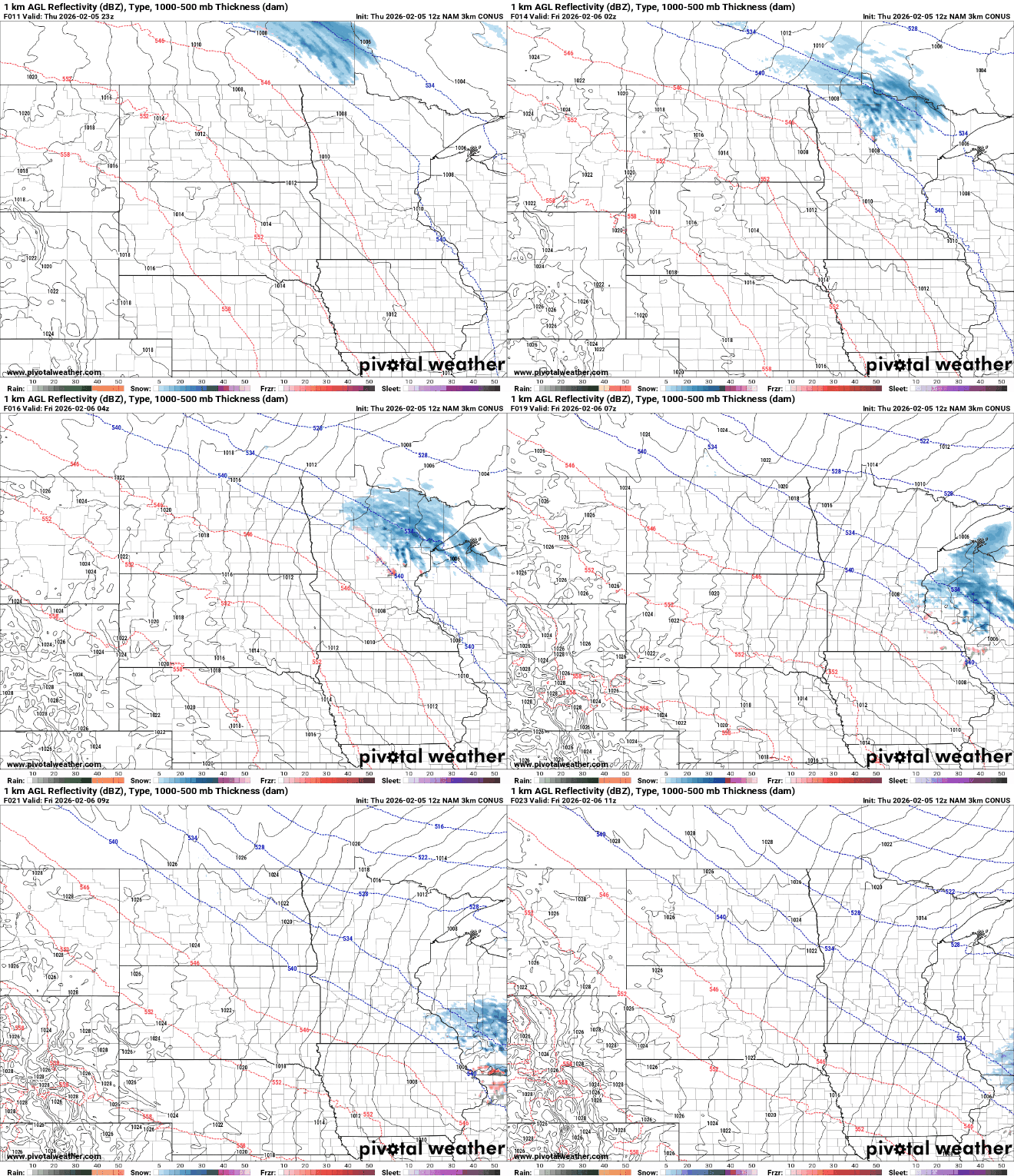
Portions of the Iron Range and the Arrowhead could see another inch or so of snowfall on top of the inch or two some saw last night.

Temperatures Friday will start in the 30s and fall into the 20s for the Twin Cities with teens in far northern Minnesota.
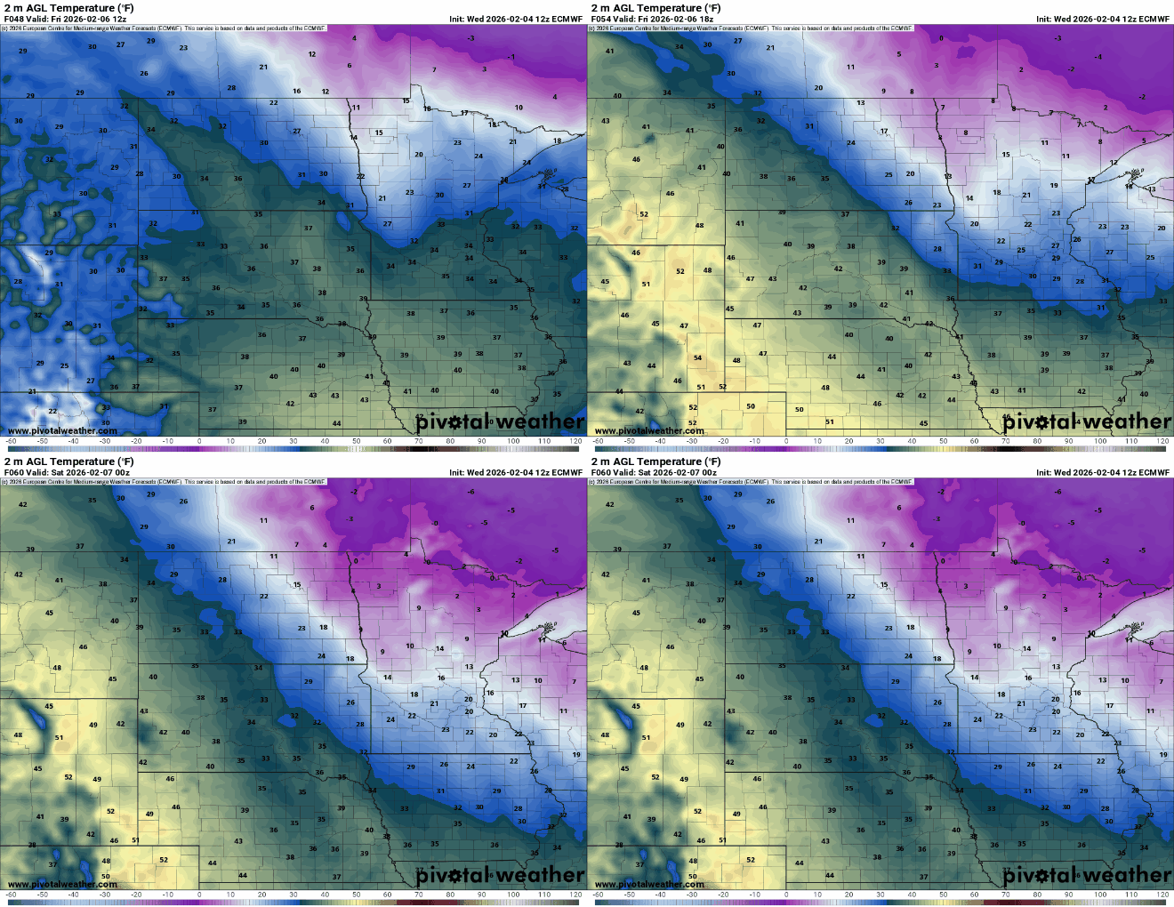
Friday night will be cold up north once again with subzero temps there. The Twin Cities and southern Minnesota should stay above zero.

Highs Saturday will mostly be in the 20s and 30s, which is actually close to, or even slightly above-normal.

The cooler air won’t stick around long. After just a couple cooler days, milder air moves back in Sunday into most of next week with peak warmth Monday and Tuesday.
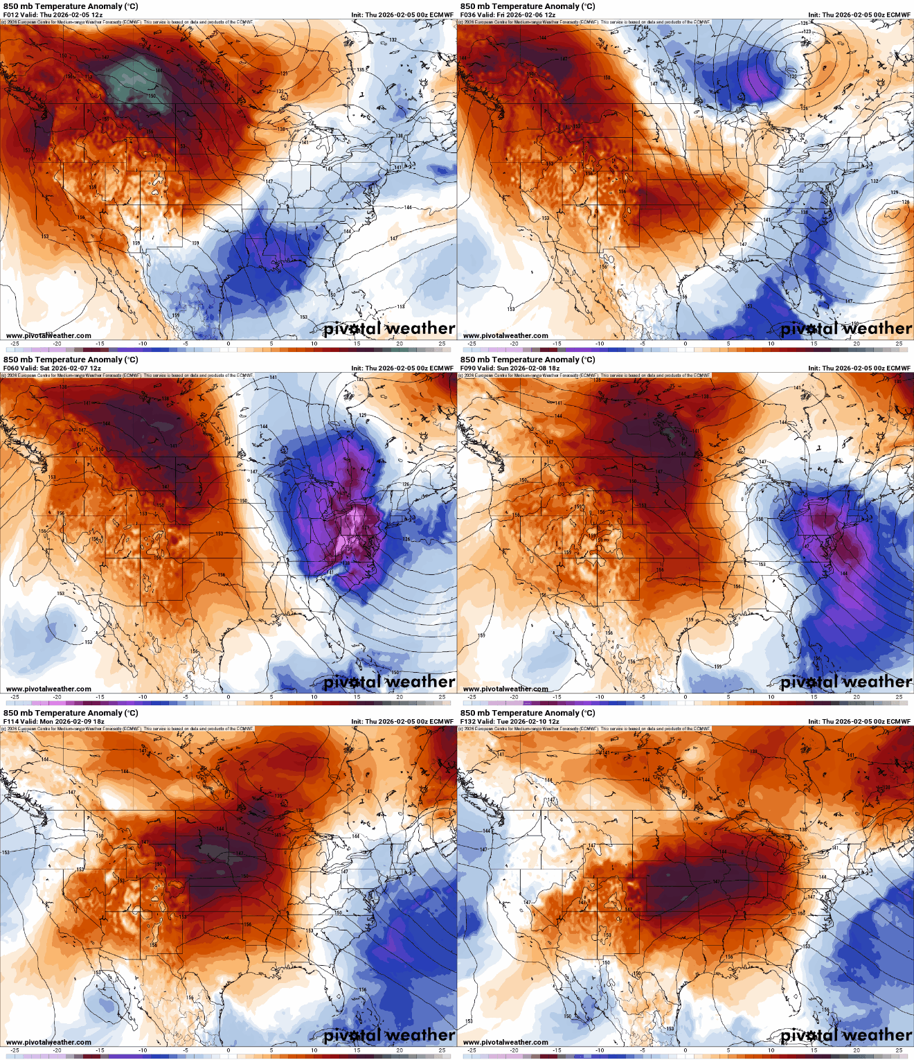
In fact, Monday may bring high temperatures near 60 degrees for southwestern Minnesota, where they have considerably less (if any) snow cover. Most of southern Minnesota is on track to see highs in the 40s.

The pattern could also get more active next week with a couple of storm systems to watch somewhere in the central United States as we get into a more west to east Pacific flow. Those systems carry more moisture than the clippers we’ve been seeing lately.

