
Consistently mild temperatures move in Sunday into next week
Spotty chances of wintry precipitation over the next couple days
Go Deeper.
Create an account or log in to save stories.
Like this?
Thanks for liking this story! We have added it to a list of your favorite stories.


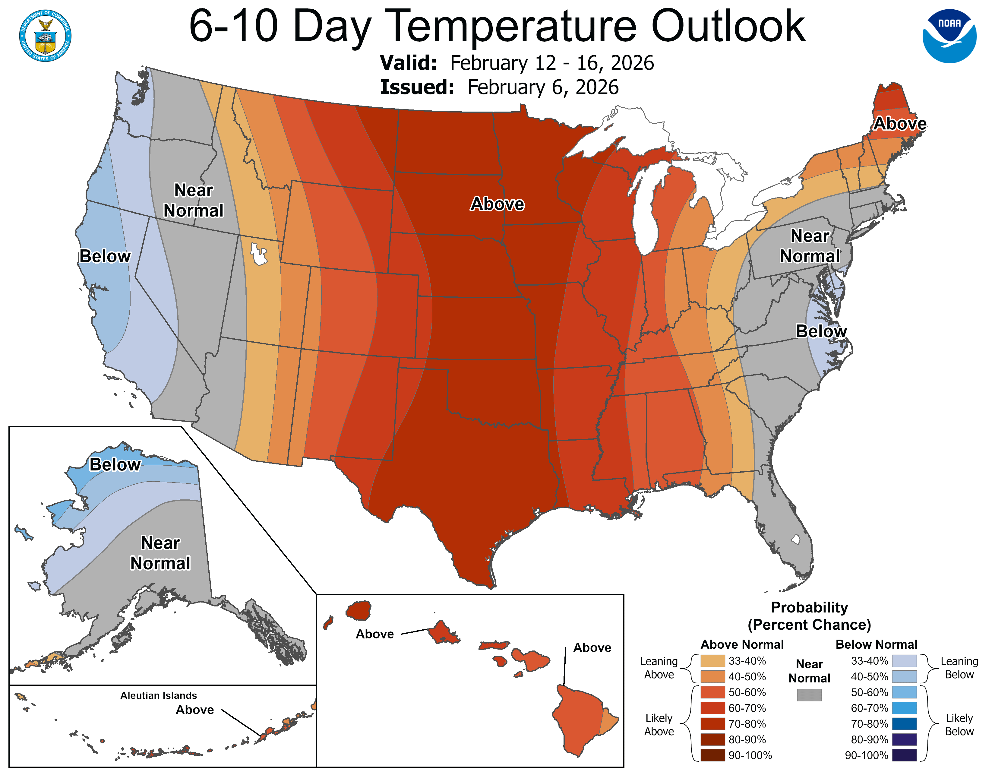
After near-normal temps Saturday, warmer air moves in Sunday and we stay above normal into next week. There will be some spotty chances of wintry precipitation.
Above normal temperatures Sunday into next week
Temperatures were pretty close to normal for most of the state, Saturday. Temperatures won’t drop much overnight tonight. A few spots in the Arrowhead will drop just below zero but most will remain in the teens and 20s.

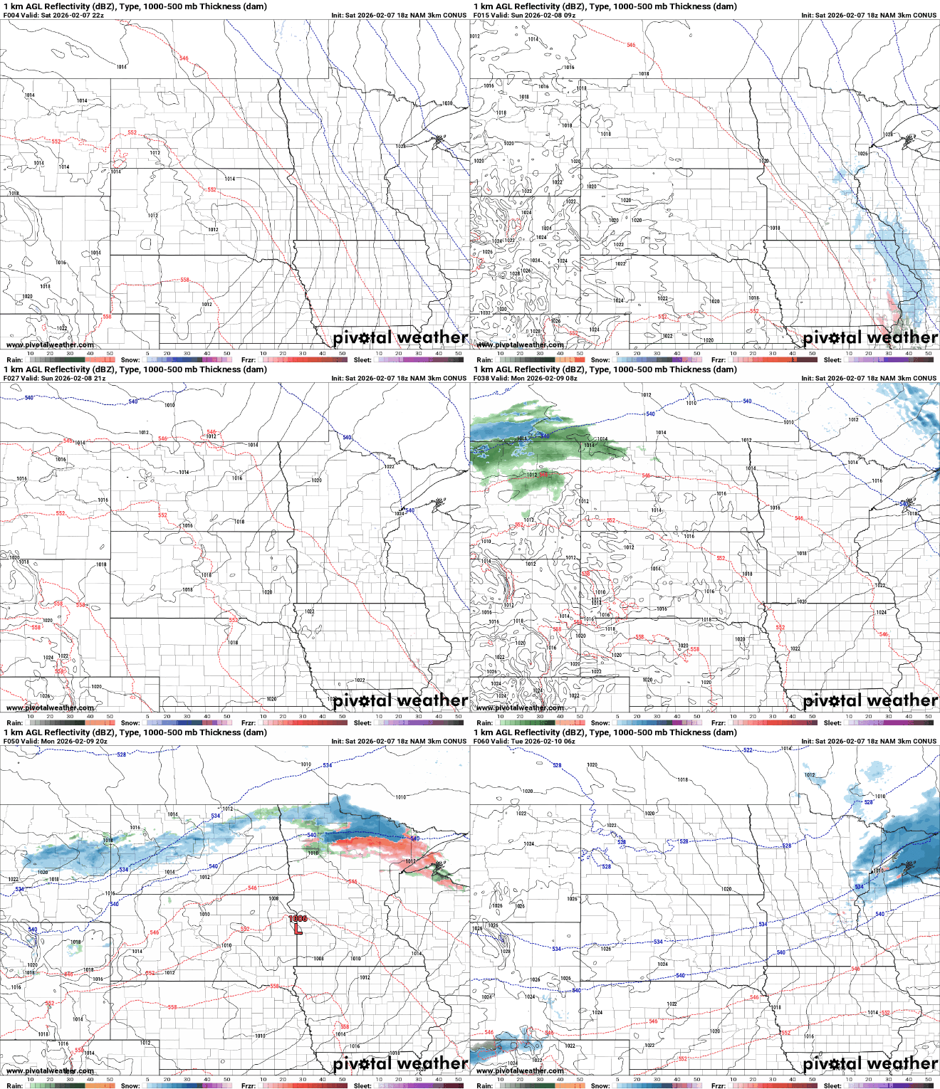
We could see a bit of a wintry mix in northern Minnesota and western Wisconsin Saturday night and Sunday night. The precipitation will come in the form of some light snow showers and patchy freezing drizzle. Any accumulations will be minor. Later in the day Monday there will be another round of potential wintry weather up north.
We should see brighter skies and milder temperatures Sunday. Highs will be above freezing across most of southern Minnesota.

Monday will be even warmer with highs in the 40s with 50s in southwest Minnesota. There could even be a 60-degree reading in the southwest most corner of the state.

Temps cool off the rest of next week just slightly with highs mostly in the 30s, still above normal.
Turn Up Your Support
MPR News helps you turn down the noise and build shared understanding. Turn up your support for this public resource and keep trusted journalism accessible to all.

