
Seasonable temps Saturday with warmer air moving back in Sunday
Light snow, freezing drizzle will move through northern Minnesota tonight
Go Deeper.
Create an account or log in to save stories.
Like this?
Thanks for liking this story! We have added it to a list of your favorite stories.


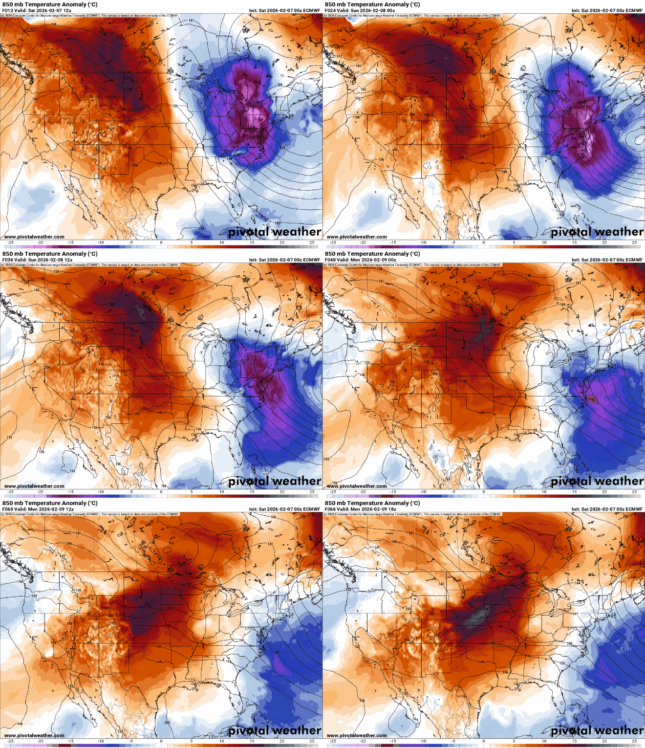
Temps will be near-normal Saturday before warming back above freezing Sunday into next week. Northern Minnesota will see some light snow and freezing drizzle Saturday night.
Mild air moves back in after a cooler Saturday
It’s a cold start up north with early morning temperatures in the teens below zero for some places in northeast Minnesota. We’ll see increasing clouds and near-normal temperatures in the 20s for most.

A weak clipper system will deliver some light snow showers and patchy freezing drizzle late Saturday into Saturday night across mainly northern Minnesota into northwest Wisconsin.
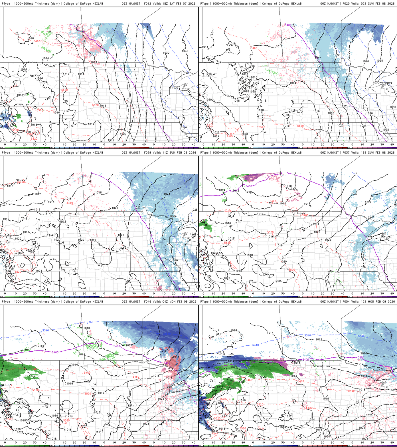
Up to one inch of snow could fall, mainly in the arrowhead up to the international border with just flurries farther south and west.
Turn Up Your Support
MPR News helps you turn down the noise and build shared understanding. Turn up your support for this public resource and keep trusted journalism accessible to all.

We’ll also have to watch for some potential icy spots with patchy freezing drizzle both Saturday and Sunday nights, again mainly in northern Minnesota.

Temperatures warm back above freezing for southern Minnesota Sunday. Southwest Minnesota will see 40s return.

Monday will be our warmest day of the upcoming week with 40s across southern Minnesota. Southwest Minnesota will be in the 50s, close to 60. If Pipestone reaches 60-degrees it would be a record for the date.

There will be other light precipitation chances through the week with some forecast models bringing a system into the region potentially later in the week.

