
Consistently mild week ahead

Go Deeper.
Create an account or log in to save stories.
Like this?
Thanks for liking this story! We have added it to a list of your favorite stories.


The pleasant Sunday we’ve enjoyed marks the start of a mild stretch with each day in the forecast being as warm or warmer.
Sunday night, high clouds should gradually build from the west with lows in the twenties to low thirties. A low of 26 in the Twin Cities would match the daily normal high.
Monday is then the warmest day of the week with highs ranging from 35 in International Falls to 54 in Worthington, with 42 in the Twin Cities.

Temperatures take a slight hit behind a passing clipper Tuesday into Wednesday, but we'll still be above average with highs above freezing in Central and Southern Minnesota.
Turn Up Your Support
MPR News helps you turn down the noise and build shared understanding. Turn up your support for this public resource and keep trusted journalism accessible to all.

The mild trend continues Thursday through Saturday with mid-thirties to low forties.
Monday features rain and snow chances generally along and north of a line from Fergus Falls to Brainerd to Hinckley. Amounts will be very light.
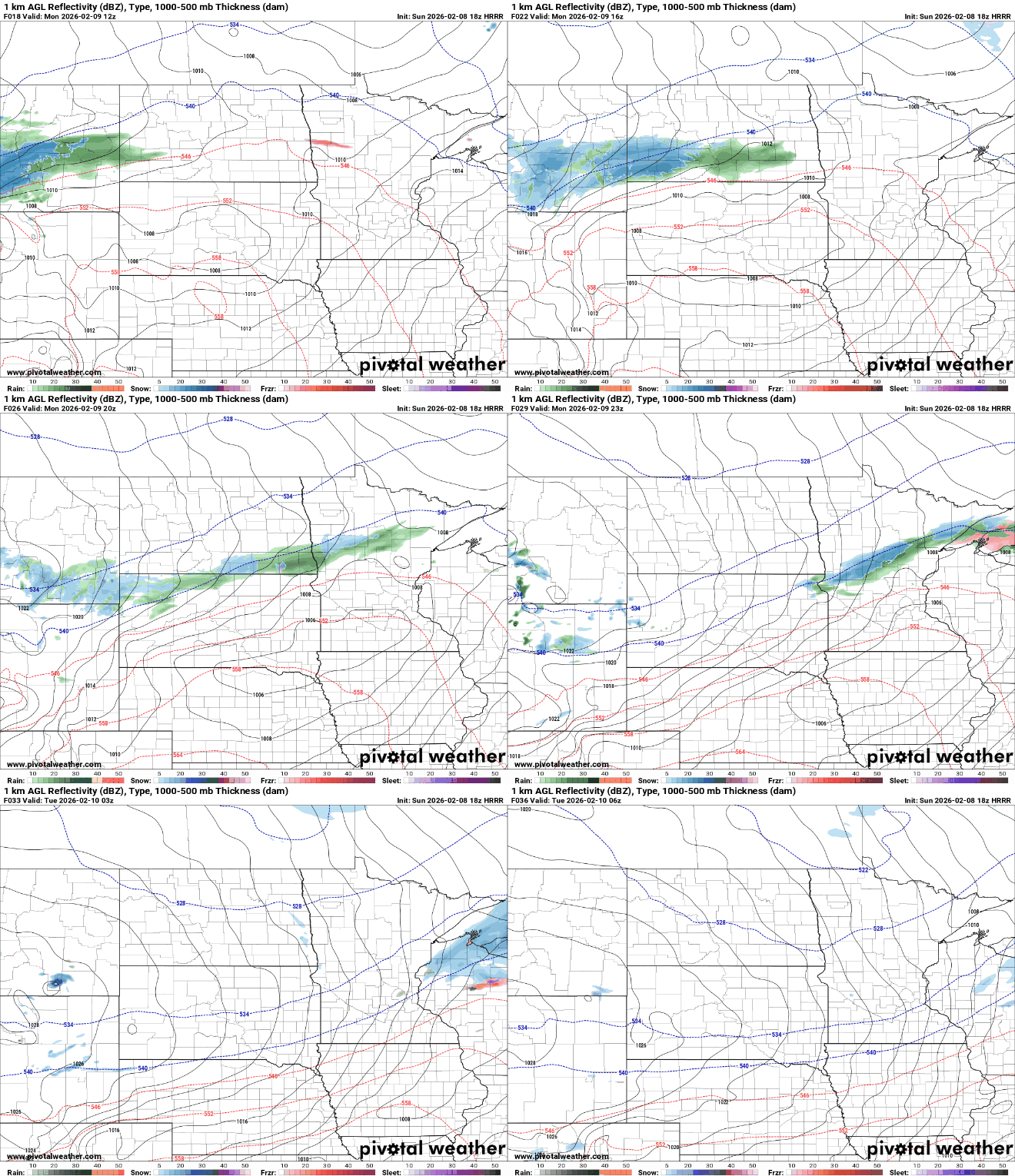
That clipper system clears out Monday night with high pressure taking residence Tuesday and Wednesday.
The next system that may bring widespread precipitation chances would arrive from the southwest Wednesday night through Thursday.
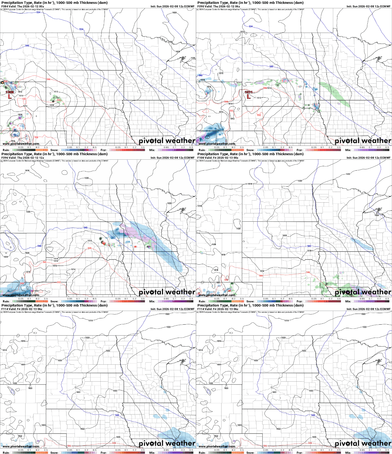
It would be light snow amounting possibly to around an inch, but we'll monitor how things evolve as we get closer to Thursday.

