
Thaw and freeze cycle takes us through the week

Go Deeper.
Create an account or log in to save stories.
Like this?
Thanks for liking this story! We have added it to a list of your favorite stories.


We have a mild and rather quiet stretch ahead of us. Starting Sunday, highs will be generally above freezing each day into next weekend.
Our Sunday is mostly cloudy overall with a few breaks of sun. As cloud cover remains heavier overnight, we stay mild with overnight lows near daily average highs.

The warmest day is Monday with 42 in the Twin Cities and 50s expected in southwest Minnesota.

Even as a cold front takes a hit to temperatures Tuesday into Wednesday, it will continue to be mild for this time of year.
Turn Up Your Support
MPR News helps you turn down the noise and build shared understanding. Turn up your support for this public resource and keep trusted journalism accessible to all.

Each day will chip away a bit at the snowpack, then any snowmelt freezes overnight.
In terms of new snow, it’s slim picking. We look to Northern Minnesota today and tomorrow for periods of wintry mix. A low chance tries to slide toward I-94 in Central Minnesota. Amounts will be very light, but areas near Duluth may get a glaze of ice and a trace of snow that could be slippery.
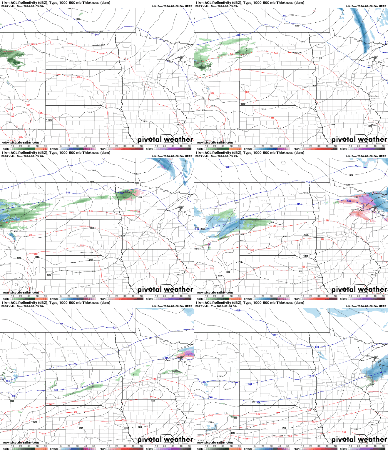
That clipper system clears out Monday night with high pressure taking residence Tuesday and Wednesday.
The next system that may bring widespread precipitation chances would arrive from the south Wednesday night through Thursday night, but the track of the system is subject to change.
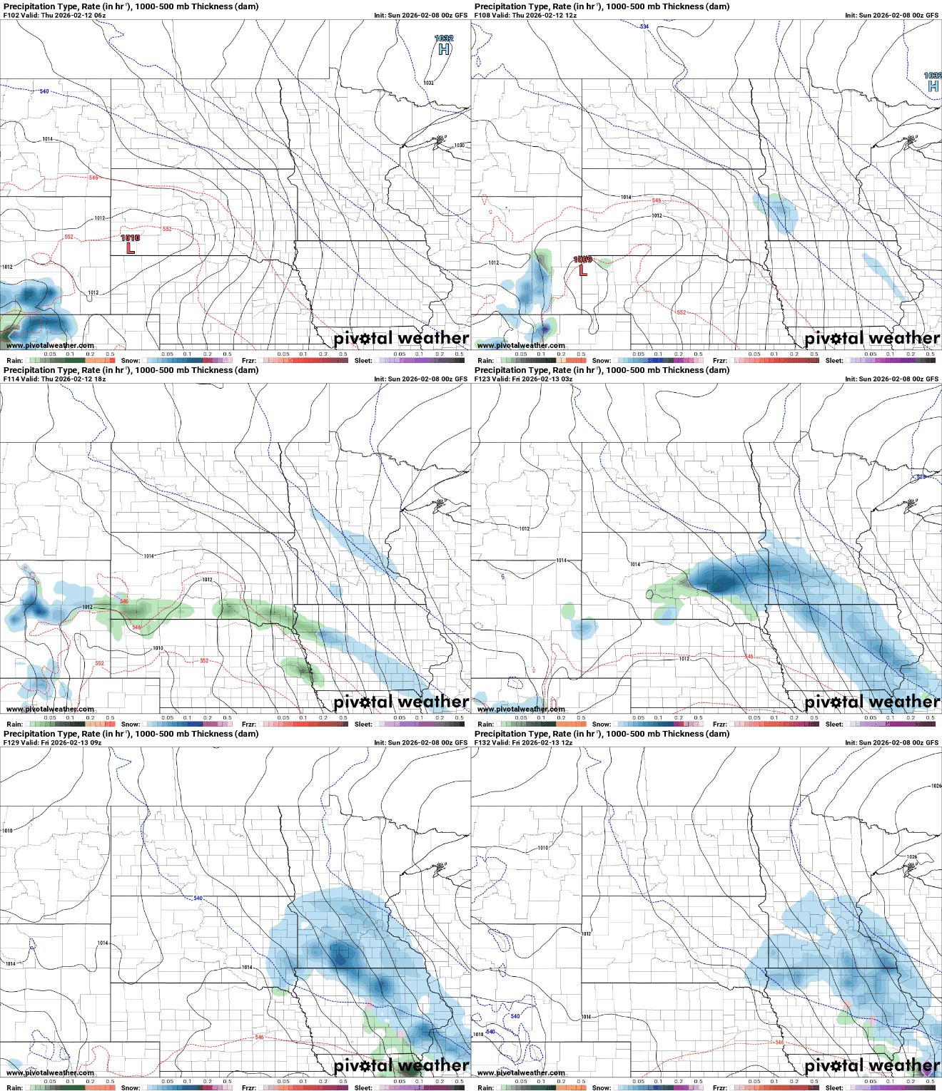
As of now, it seems cold enough aloft for snow to be the main precipitation type, but above-freezing temperatures at the surface would allow for some melting on impact with the ground.

