
Cooler Tuesday, but still warmer than normal
Some rain, snow posssible Thursday

Go Deeper.
Create an account or log in to save stories.
Like this?
Thanks for liking this story! We have added it to a list of your favorite stories.


It’ll be a few degrees cooler Tuesday but still above normal. Wednesday will bring similar temperatures before we ramp up the warmth into the end of the week.
Mild weather continues; some potential snow Thursday
In the wake of Monday night’s cold front, it’ll be cooler Tuesday but still above normal. Highs will range from the 20s north to the 30s central and southeast to 40s in southwestern Minnesota.
Those readings still are 4 to 20 degrees above normal. Most normal highs are in the 20s for Feb. 10. There will be lingering clouds making for a mix of clouds and some peeks of sunshine. It will also be blustery with northwest winds at 10 to 20 mph.

Overnight temperatures will drop into the single digits up north with teens and 20s in southern Minnesota, again, above normal overnight lows for mid February.
Turn Up Your Support
MPR News helps you turn down the noise and build shared understanding. Turn up your support for this public resource and keep trusted journalism accessible to all.

Wednesday will be a few degrees warmer thanks to more sunshine for central and southern Minnesota. Highs will again mostly be in the 30s with 40s to near 50-degree highs in southwestern Minnesota.

We’re still monitoring a system for Wednesday night into Thursday morning. What looked as of Monday like a hopeful slushy snowfall is looking now more like rain showers for southern Minnesota with some snow mixing in.
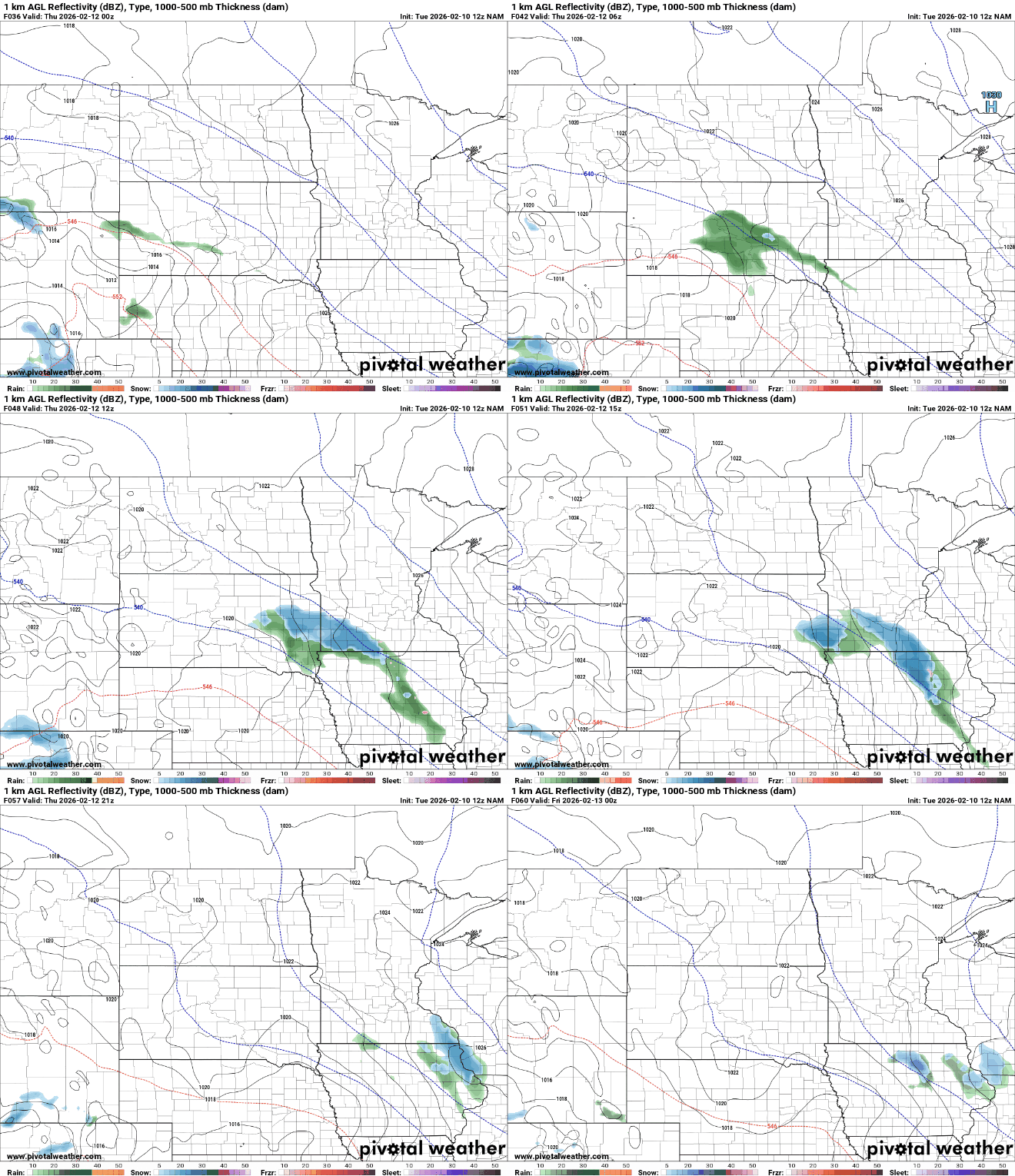
Any snowfall looks to be under one-half inch and pretty patchy across far southern Minnesota Thursday morning. This would fall on areas that are seeing mostly bare ground now.

After that, temperatures are climbing back to near 40 or into the 40s by later this week. The upper-level pattern will be very mild for this time of year with a large upper-level ridge of warmth positioned over the central United States.
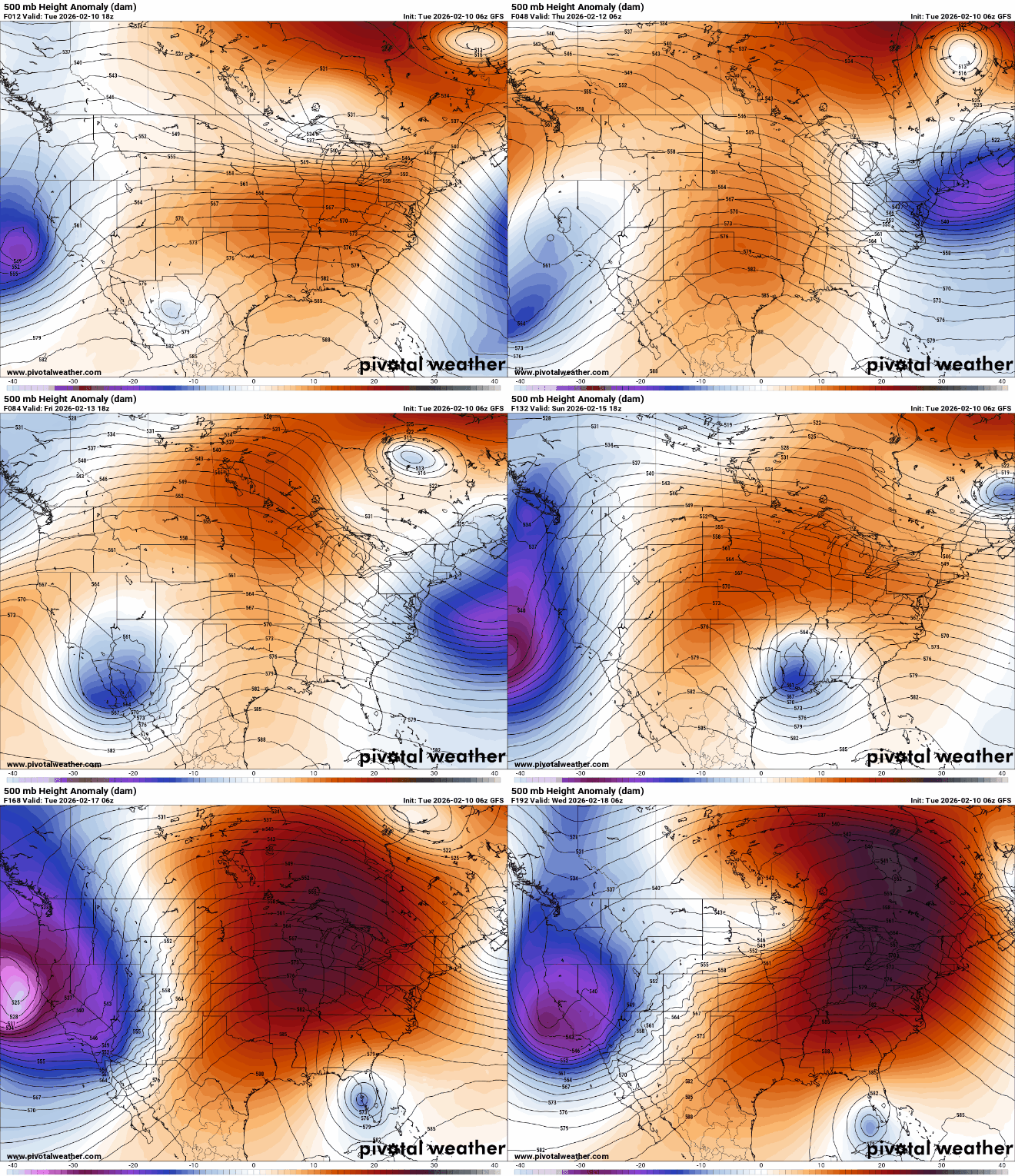
Most of our forecast models have the Twin Cities reaching 50 degrees at least once this weekend or early next week.


