
Very mild stretch of weather ahead
Highs could reach 50 for many locations this weekend
Go Deeper.
Create an account or log in to save stories.
Like this?
Thanks for liking this story! We have added it to a list of your favorite stories.


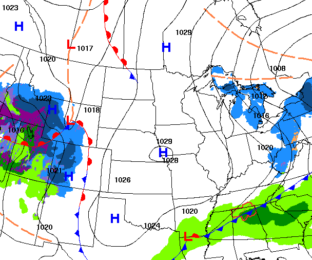
We’ll see sun Wednesday thanks to high pressure. Temperatures will continue to warm the rest of this week heading into a very mild weekend.
Brighter skies Wednesday followed by a warmup
It’ll be a few degrees warmer Wednesday thanks in part to sunshine. High pressure will keep much of the state at least partly cloudy after a dreary couple of days. Highs will range from the 20s north to 40s south and possibly near 50 degrees in southwestern Minnesota.

The disturbance we’ve been watching the last few days that could have delivered some rain and snow to southern Minnesota late Wednesday night into Thursday morning has shifted south. It now looks to be a mainly Iowa event.
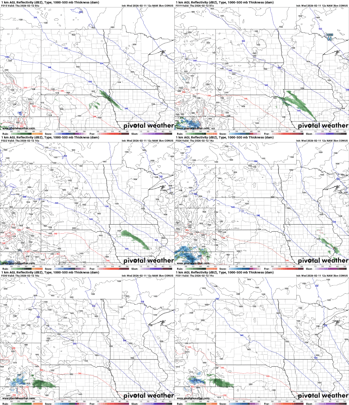
Thursday and Friday will be warmer with 40s taking over most of southern Minnesota. Clouds will decrease Thursday and Friday should bring more sunshine again.
Turn Up Your Support
MPR News helps you turn down the noise and build shared understanding. Turn up your support for this public resource and keep trusted journalism accessible to all.

Weekend temperatures into early next week could top out at 50 degrees in the Twin Cities for the first time since mid-November. It was 56 degrees on Nov. 23.
The record high for the Twin Cities on Valentine’s Day is 50 degrees set back in 1882. St. Cloud and Eau Claire could also tie or break records.
If we reach 50 in the Twin Cities, which seems increasingly likely, this would come about 2 weeks earlier than normal (1991-2020 average) and nearly three to four weeks earlier than the historic average (1961-1990) of just 5 decades ago.

Temperatures over the next seven days will average out to be about 15 to 20 degrees above average across the state of Minnesota. Temperatures will average out to be more like late March than mid-February.

Of course, it’s still February so don’t count winter out just yet. We’ll be in a very mild pattern the next seven days with upper-level ridge warmth dominating the central United States by late next week, but a Pacific storm system could shift things into a stormier pattern.
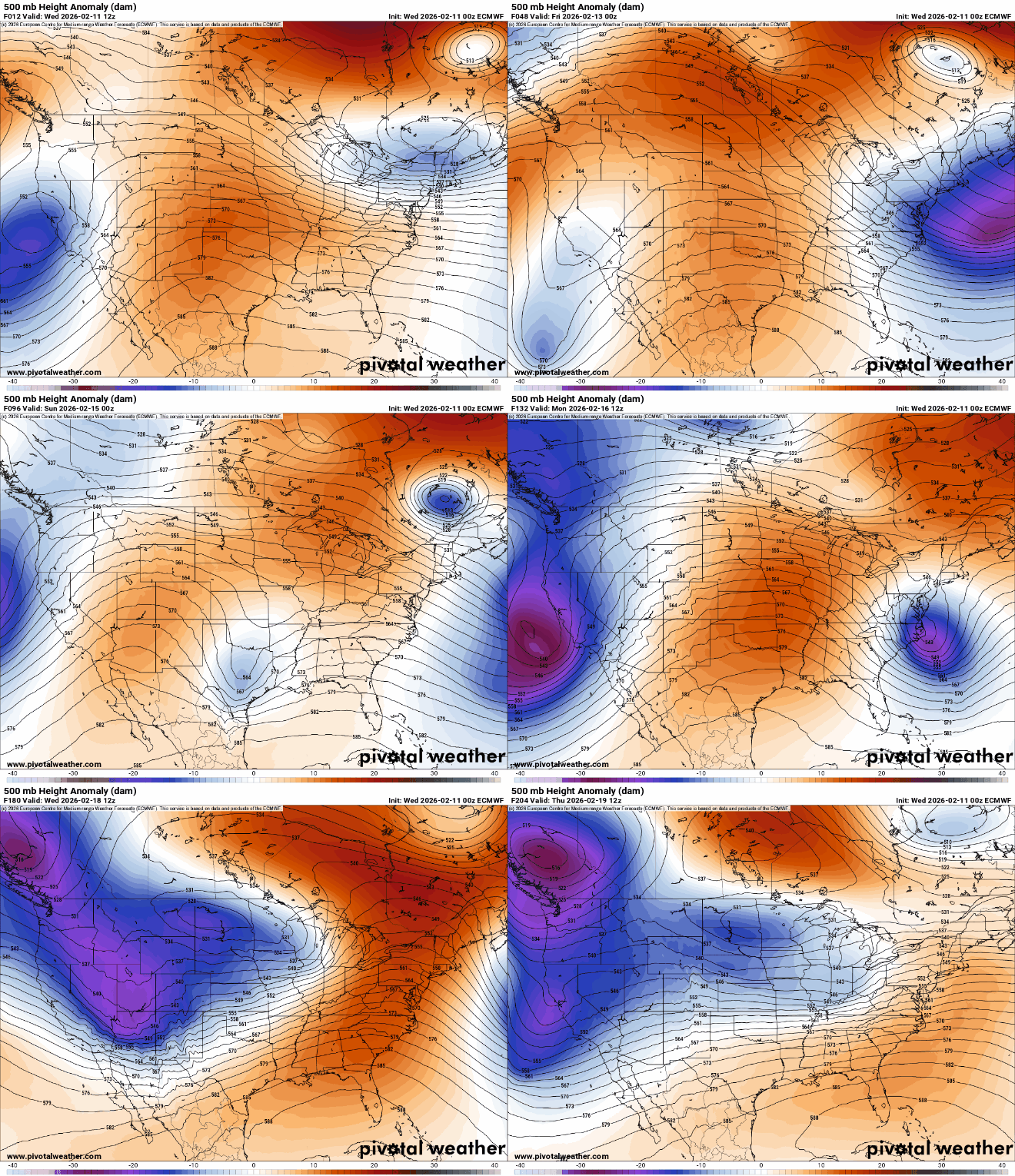
While it’s still way too early to pin point snow totals just yet, most forecast models do paint a snowier picture across at least the northern half of Minnesota later next week into the final days of February.


