String of very mild days ahead
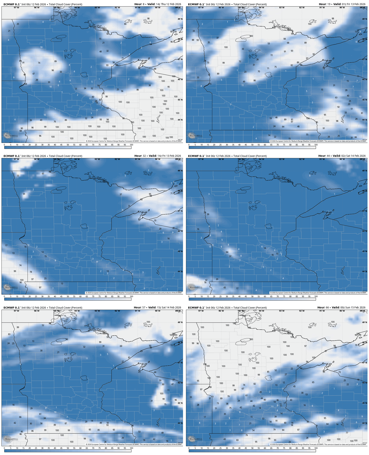
We’ll also have quite a bit of sunshine
Go Deeper.
Create an account or log in to save stories.
Like this?
Thanks for liking this story! We have added it to a list of your favorite stories.


Very mild days will continue into early next week. We’ll also have quite a bit of sun the next few days. A shift in the pattern could happen later next week.
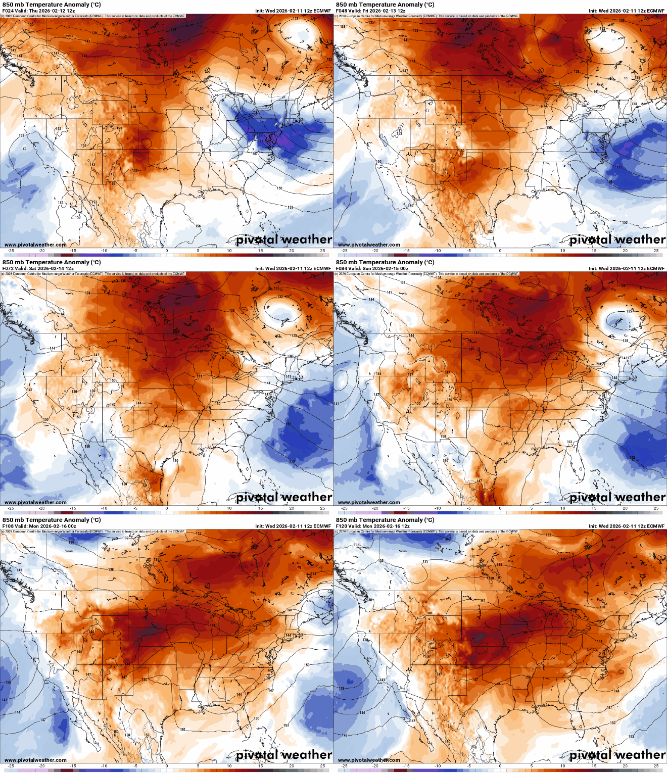
Temperatures 15-20 degrees above normal
We’ll have a very mild Thursday. Areas of clouds in central and southern Minnesota should clear out giving way to more sun than clouds across most of the state. Highs will be in the 40s across southern Minnesota with 30s north.

Friday will bring another day in the 40s with more sun and highs even in the 50s in southwest Minnesota.
Saturday could be even warmer with highs near the record of 50 degrees in the Twin Cities.
Turn Up Your Support
MPR News helps you turn down the noise and build shared understanding. Turn up your support for this public resource and keep trusted journalism accessible to all.

Not only will we have well above-normal temperatures the next several days but we’re in for quite a bit of sunshine too. We’ll have more sun than clouds Thursday through Saturday, perhaps even Sunday too.
The anomalous warmth persists into early next week when highs again could be flirting with 50 on Monday and Tuesday.

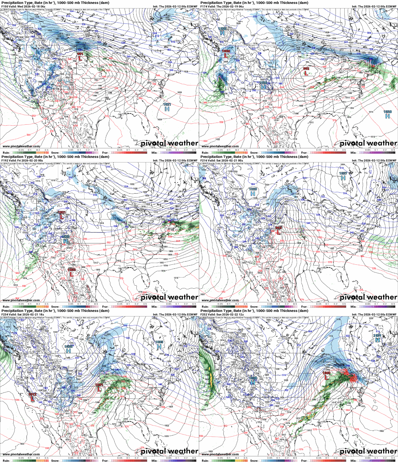
There are increasing signs of a pattern shift mid to late next week, however, that will bring not only cooler temperatures, although not the frigid air of a couple weeks ago, but potentially a more active pattern with a pair of storm systems.
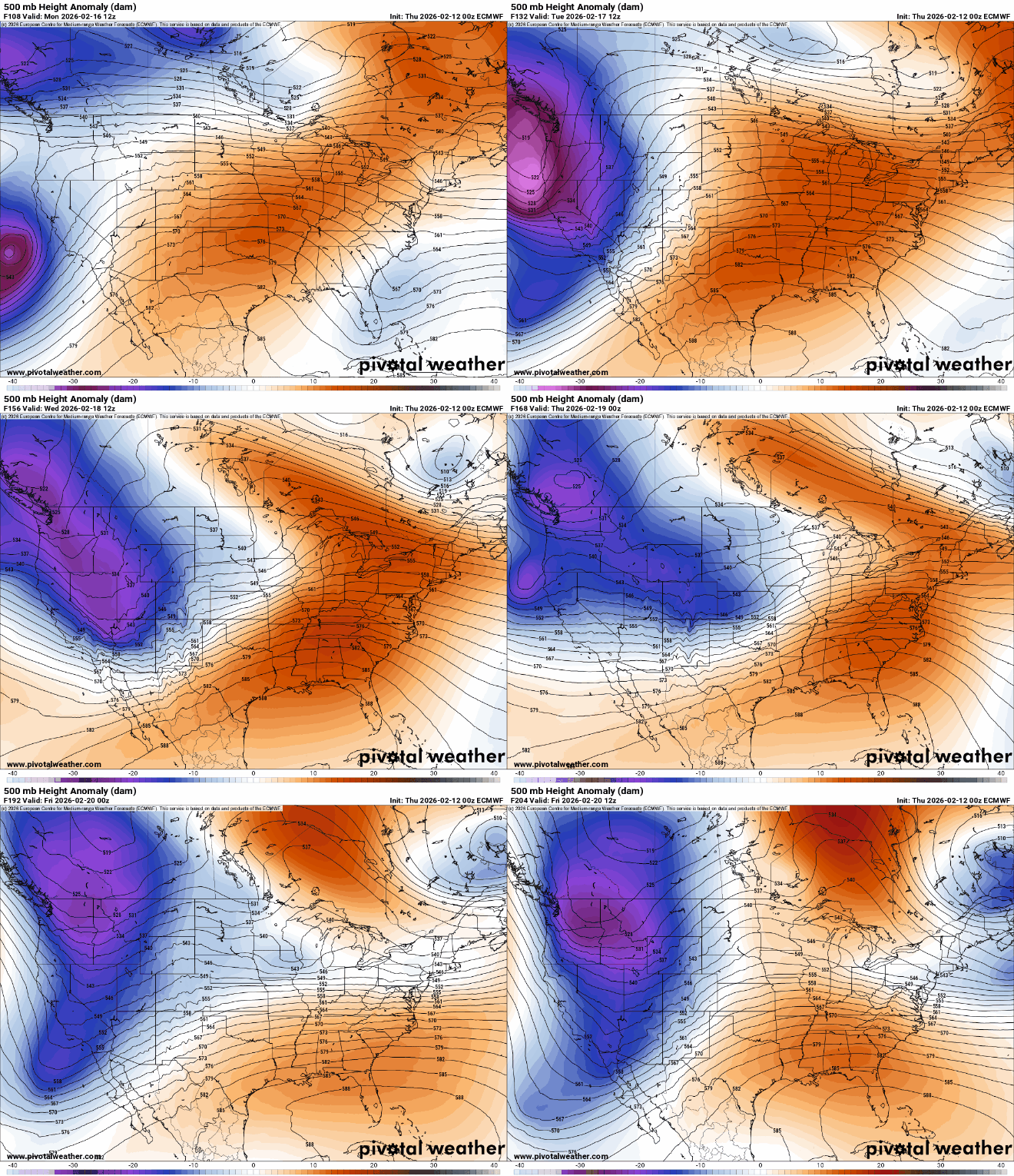
Whether rain or snow falls or where is still to be determined, but at least northern Minnesota could be in for some fresh snow cover. All the forecast models are creating a pair of potential storm systems mid to late next week.