
Valentine's Day warmth breaks records in Twin Cities and Eau Claire
Warm now, but watching winter's return midweek

Go Deeper.
Create an account or log in to save stories.
Like this?
Thanks for liking this story! We have added it to a list of your favorite stories.


Unseasonably mild air shattered long-standing Valentine’s Day records across parts of Minnesota on Saturday.
Broken records for Valentine’s Day
Unseasonably warm air sent thermometers soaring Saturday, shattering a long-standing high temperature record for Valentine’s Day in the Twin Cities.
The 54-degree high at Minneapolis–Saint Paul International Airport climbed past the previous record of 50 degrees, set in 1882. Eau Claire reached 51 degrees, breaking its 1934 record of 49. Saturday afternoon readings surged well into the 50s, running roughly 20 to 30 degrees above normal for mid-February. It sure felt more like late March or early April than late winter.
As temperatures cool Saturday night, areas of patchy fog could develop in low-lying areas early Sunday, mainly in northern Minnesota.
Turn Up Your Support
MPR News helps you turn down the noise and build shared understanding. Turn up your support for this public resource and keep trusted journalism accessible to all.

Sunday is expected to mirror Saturday in many ways. Light winds will continue, with mainly sunny skies and just slightly cooler temperatures. Even so, highs are still forecast to reach the 40s and 50s, well above normal for mid-February.

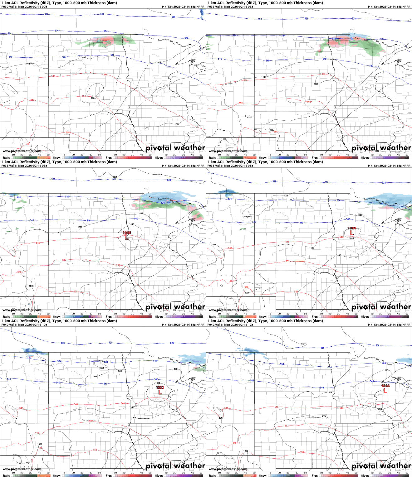
A weak system will skirt along the international border Sunday night, bringing a light wintry mix to northern Minnesota. Most of the central and southern portions of the state are expected to remain dry as the system drags a weak cold front through the region Monday.
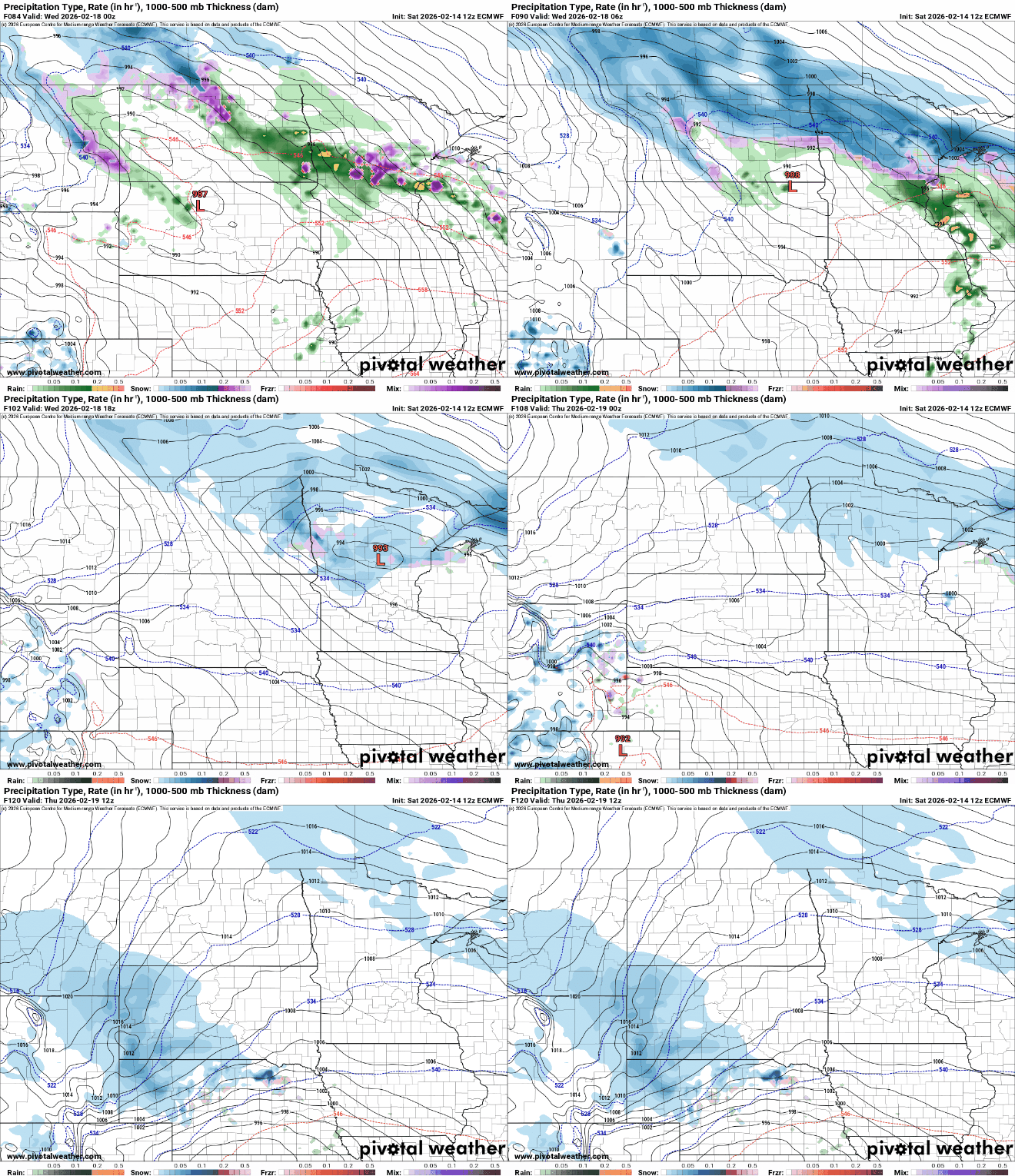
Attention then turns to a much larger system expected to lift northeast late Tuesday, spreading widespread precipitation across the Upper Midwest through Wednesday and into Thursday.
Confidence is high that a band of heavy, wet snow will develop somewhere in the region. However, uncertainty remains about exactly where the rain-snow line will set up, as warmer temperatures could complicate precipitation type.
Temperatures will remain unseasonably warm through Thursday before a more seasonable air mass returns to end the week.

