
Springlike temperatures persist ahead of midweek storm
Mild start to week before colder air returns

Go Deeper.
Create an account or log in to save stories.
Like this?
Thanks for liking this story! We have added it to a list of your favorite stories.


Unseasonably warm weather will persist statewide to close out the weekend, as temperatures climb more than 20 degrees above average ahead of a potent midweek storm.
February thaw rolls on
Our February thaw will continue Sunday, with temperatures similar to Saturday’s readings. Highs are expected to reach the upper 30s to low 40s in northern Minnesota, climb into the upper 40s across central parts of the state, and once again surge into the 50s and even low 60s in southern Minnesota.

A dense fog advisory remains in effect for northwestern Minnesota until 9 a.m., as visibility has dropped to as low as one-quarter mile in some areas.

A weak cold front will move through the region Sunday night. The system is expected to remain mostly dry, although rain showers could develop along the international border as early as late Sunday afternoon in northwestern Minnesota. As cooler air filters in overnight, a mix of rain and snow will be possible across the Arrowhead region.
Turn Up Your Support
MPR News helps you turn down the noise and build shared understanding. Turn up your support for this public resource and keep trusted journalism accessible to all.
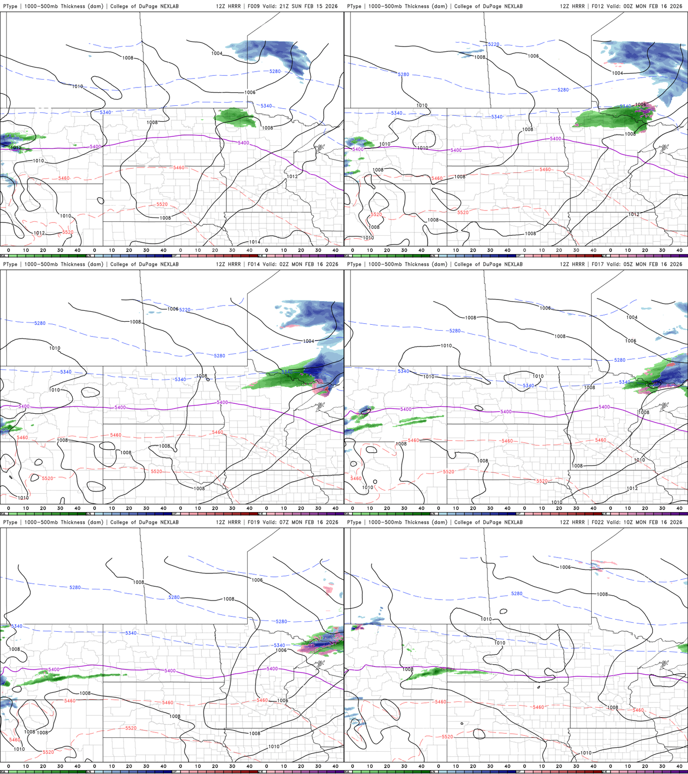
The passage of the front will trim temperatures slightly Monday, but highs will still run 20 to 30 degrees above average for this time of year.

Snow chances return
From Tuesday through Thursday, forecast models continue to show a strong storm system affecting the Upper Midwest. Current trends favor a more northerly track, with the surface low moving out of North Dakota and tracking across central Minnesota. That path would place the heaviest band of snow north of the low, primarily impacting northern Minnesota.
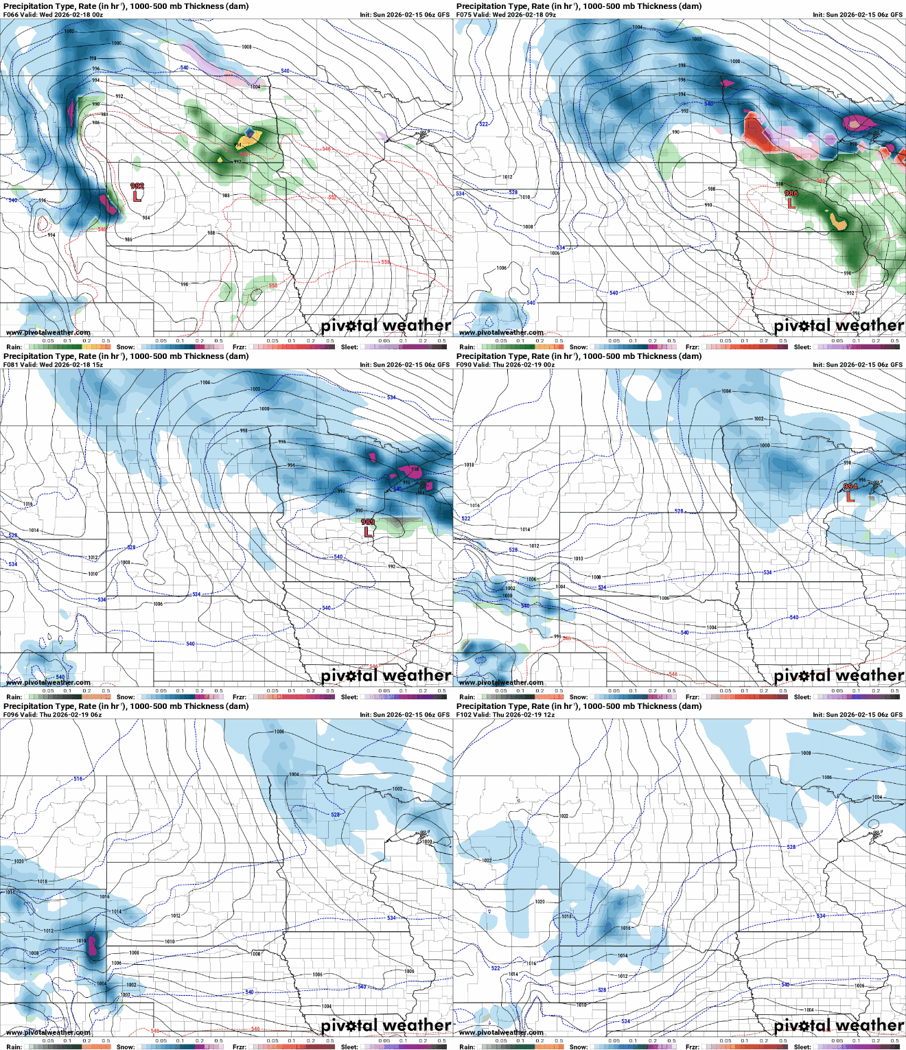
Warm temperatures will keep precipitation mainly as rain south of the low, but as cooler air moves in late Wednesday into Thursday, light snow is possible. The system is expected to produce a messy mix of rain, rain-snow mix and accumulating snow across the northern half of the state.
For the remainder of the week, the weather pattern will position the region to receive multiple systems from the southwest, while temperatures gradually return to near seasonal levels.

