Unseasonably warm weather continues ahead of midweek storm
Heavy, accumulating wet snow for the Northland

Go Deeper.
Create an account or log in to save stories.
Like this?
Thanks for liking this story! We have added it to a list of your favorite stories.


Our stretch of mild, springlike temperatures will continue into the start of the workweek before a powerful winter storm system begins making headlines, bringing heavy, wet snow to the Northland.
Mild stretch continues with sunshine
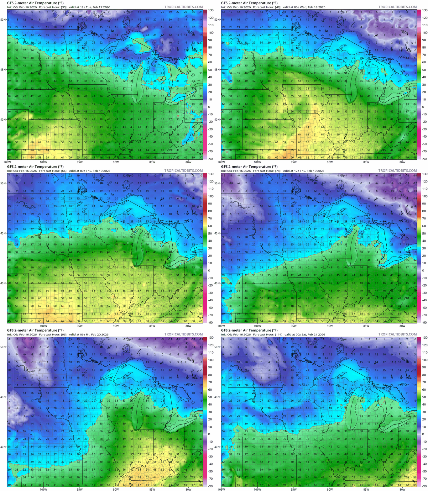
Look for mild temperatures to extend into the workweek, with highs Monday warming into the 30s and 40s across northern Minnesota and climbing into the 50s once again in the southern half of the state.

Areas of fog are possible across northern Minnesota, with a dense fog advisory in effect until 10 a.m. along the North Shore and near Duluth and until noon in northwestern Minnesota.
Turn Up Your Support
MPR News helps you turn down the noise and build shared understanding. Turn up your support for this public resource and keep trusted journalism accessible to all.

Highs will remain mild Tuesday into Wednesday before a strong low-pressure system brings cooler temperatures to end the week. Despite the cooldown, temperatures will finally return closer to seasonal averages for the first time in weeks.
Winter returns with a vengeance
The thermometer may look spring-like, but winter is here to remind us it’s not done yet. A powerful winter storm is barreling into the Upper Midwest late Tuesday through Thursday, with winter storm watches issued for the northern third of the state.
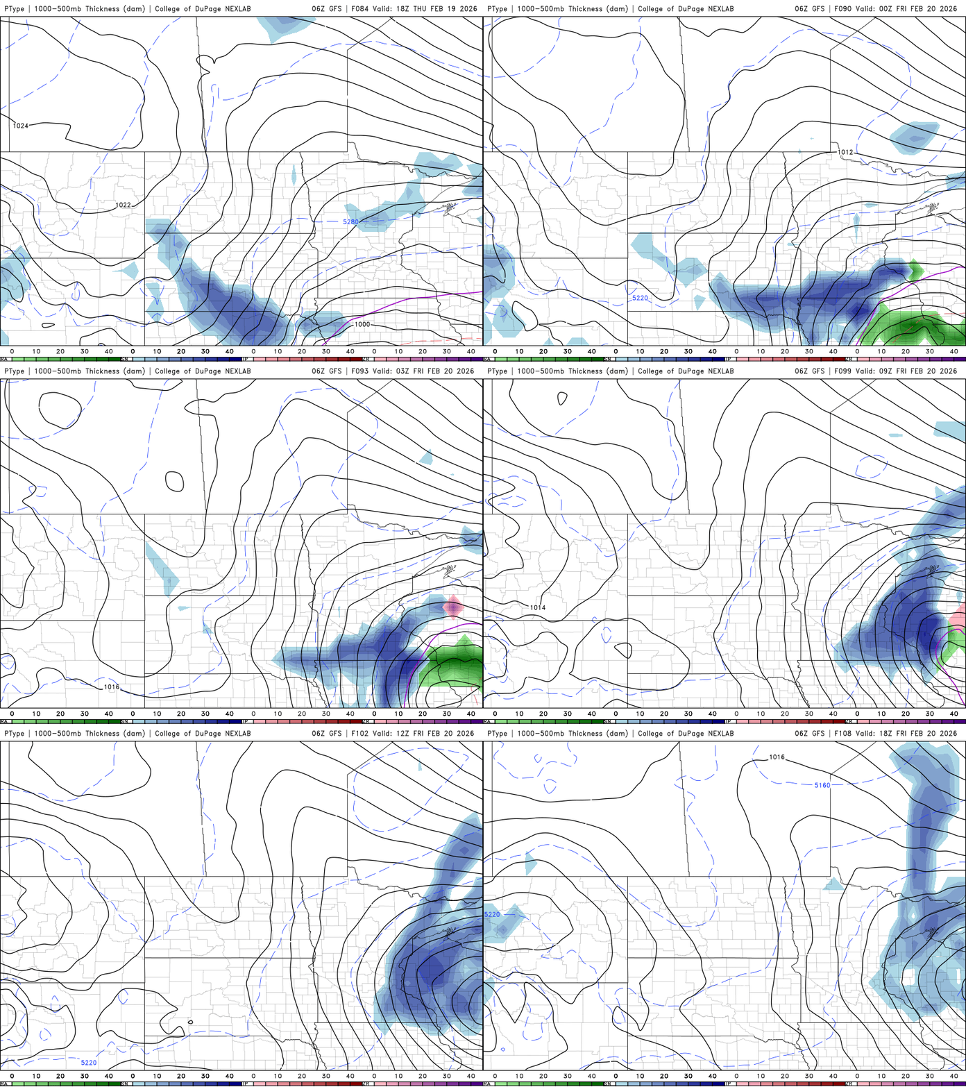
With warmer temperatures in place, rain showers are expected to develop Tuesday afternoon as a low-pressure system moves from North Dakota into central Minnesota. The exact placement of the low will be crucial in determining precipitation type. Areas south of the low will see primarily rain, while a mix of rain and snow is likely across central and northern Minnesota overnight Tuesday into Wednesday.
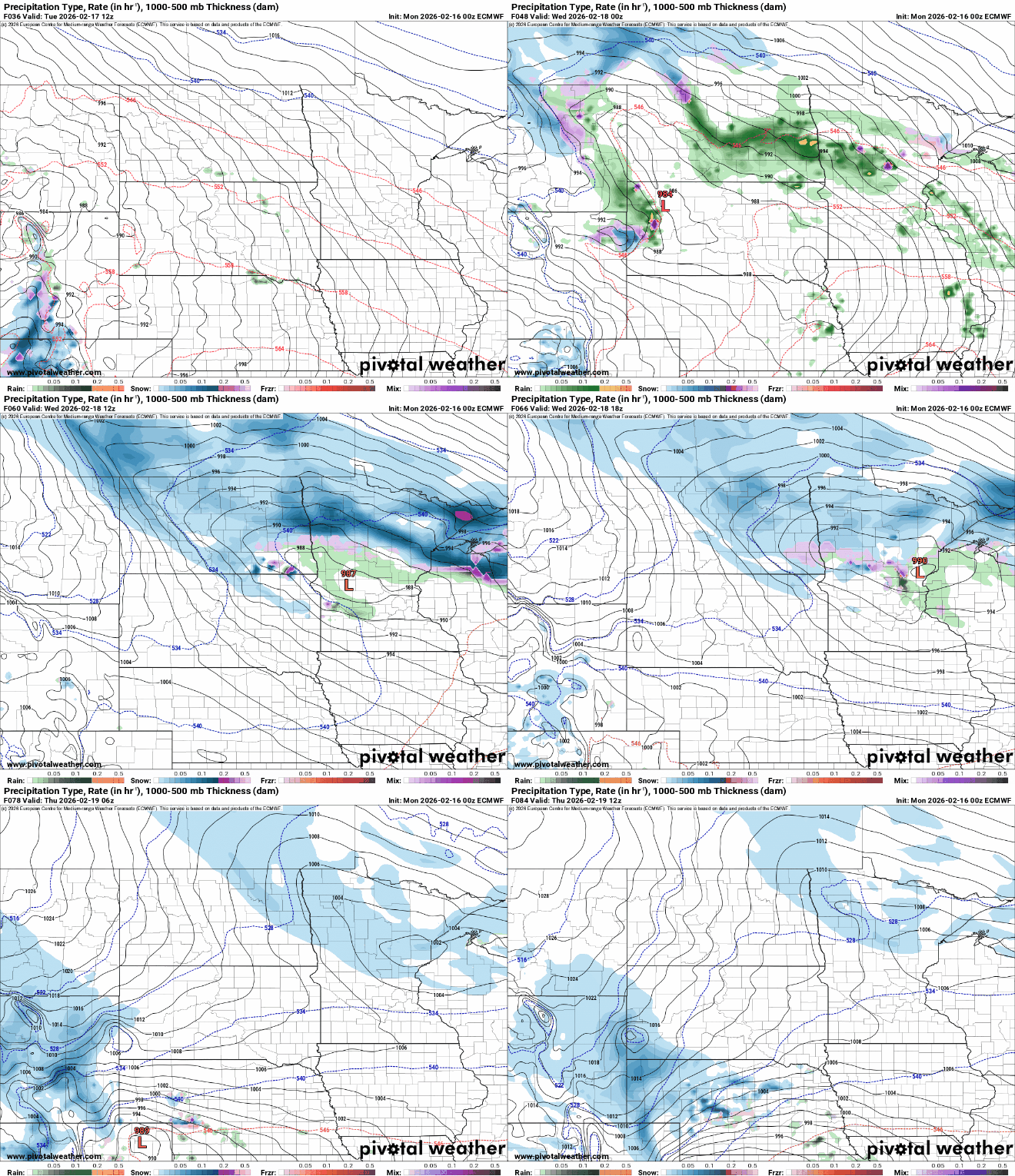
Several hours of a rain-snow mix will eventually transition to heavy, wet snow. This type of snow can cling to trees and power lines, making power outages possible—especially in the Arrowhead and along the North Shore.
Areas under the winter storm watch could see 6 inches or more before the system moves out early Thursday, with some locations along the North Shore potentially receiving 8 inches or more, and possibly up to a foot due to the terrain. Central Minnesota could see several inches of snow, but snowfall amounts will vary sharply north to south depending on the exact track of the low-pressure system.

The northern sections of the Twin Cities can expect a dusting of snow as cooler air wraps into the system Wednesday into Thursday.

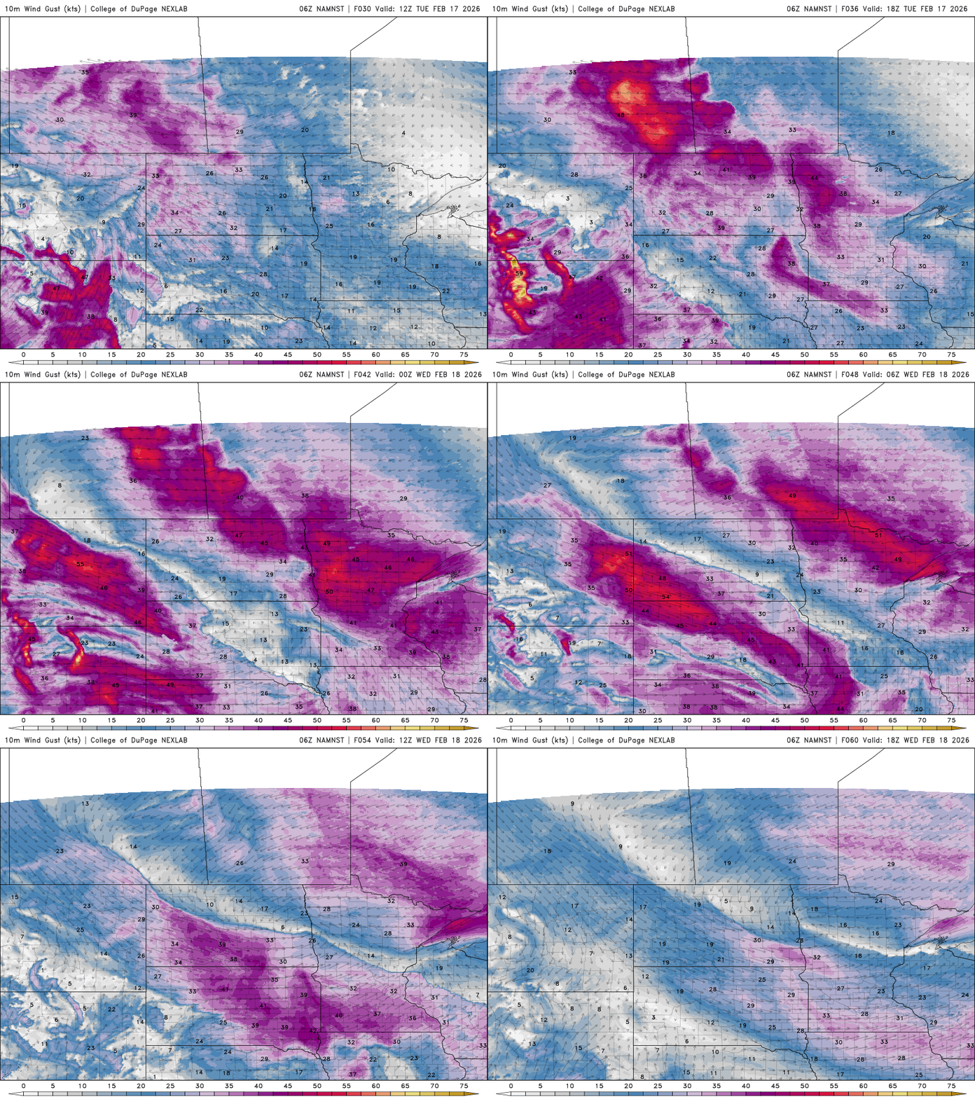
Winds will be blustery, with gusts up to 50 mph, creating near-blizzard conditions for northern Minnesota.
Another system is right on the heels of the first and will need to be closely monitored as it approaches. It could bring accumulating snow to southern portions of the state, along with a return to cooler, more seasonal temperatures.