
Blizzard, winter storm warnings continue north
More snow possible Thursday night for portions of the state

Go Deeper.
Create an account or log in to save stories.
Like this?
Thanks for liking this story! We have added it to a list of your favorite stories.


Snow and wind continue in northern Minnesota through much of Wednesday. Scattered rain showers will turn to snow showers south. More snow is possible in parts of the state Thursday night.
Snow, rain, wind continue Wednesday
Blizzard and winter storm warnings continue north Wednesday and Wednesday night along with winter weather advisories that now include the Twin Cities through Wednesday evening. A wind advisory is posted for southwestern Minnesota through midday Wednesday.
The snow has been piling up on the North Shore and across northern Minnesota. The North Shore is already measuring snow over a foot with up to 10 more inches on the way.
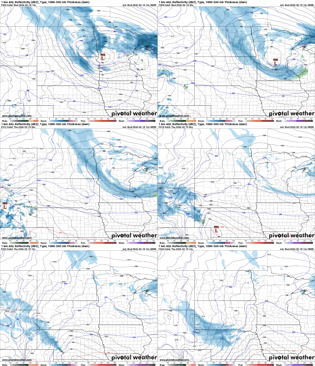
Snow will continue much of the day for northern Minnesota. Scattered areas of rain showers will turn to snow showers in central and portions of southern Minnesota.
Turn Up Your Support
MPR News helps you turn down the noise and build shared understanding. Turn up your support for this public resource and keep trusted journalism accessible to all.
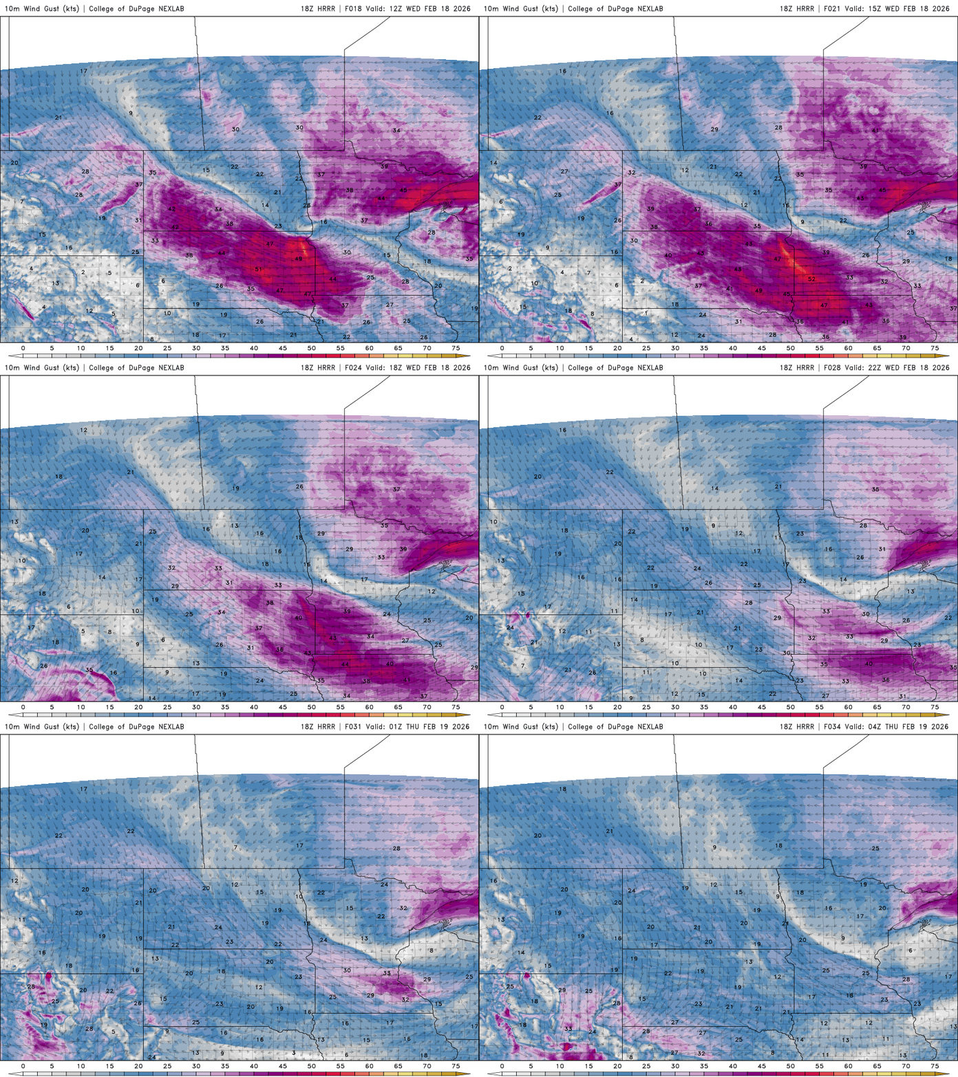
The North Shore has also been battered by gusty winds. The Duluth airport has clocked wind gusts as high as 66 mph and has seen numerous gusts of 60 mph or greater. All up and down the North Shore and in southwestern Minnesota, winds have gusted over 50 mph.

Gusty winds will also persist much of Wednesday, although portions of central Minnesota will get a brief reprieve as the low-pressure center — sort of like the eye of a hurricane — passes overhead.
Sustained winds will be 15 to 30 mph with gusts greater than 50 mph along the North Shore.
The North Shore will see significant additional snowfall into midday Thursday. Farther south, the Twin Cities will likely see some snowfall with wrap around rain showers turning to snow showers through Wednesday evening.

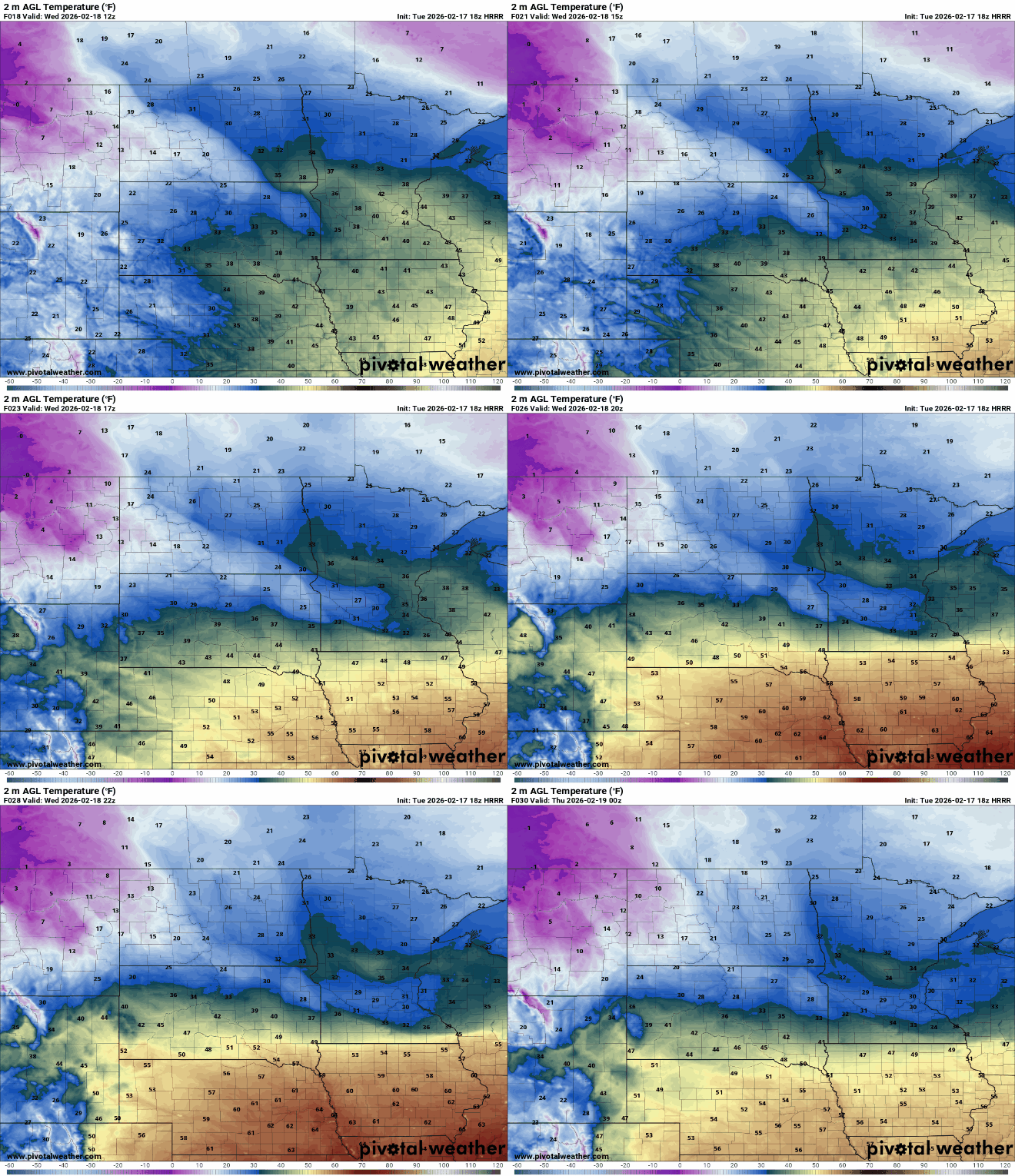
Temperatures will continue to fall through the day Wednesday across southern Minnesota and hold steady mostly in northern Minnesota.
We’re still watching another system that will deliver another round of potential snow somewhere in southern Minnesota and western Wisconsin late Thursday into early Friday. Most forecast models favor southeastern Minnesota into Wisconsin for this round of snow.


