Quiet, colder weekend ahead; heavy snow in southeastern Minnesota
Chilly northwest flow brings in colder temperatures

Go Deeper.
Create an account or log in to save stories.
Like this?
Thanks for liking this story! We have added it to a list of your favorite stories.


The late-February warmup is fading fast as snow accumulates in southeastern Minnesota and colder air settles in across the region.
February thaw fading fast
A blanket of cloud cover and brisk northwest winds will bring an end to the Twin Cities’ 12-day streak of temperatures at or above 32 degrees.
Friday’s highs will return to just below seasonable levels, with teens and 20s expected statewide. Even southern Minnesota will remain below freezing as colder air settles in.

A strong winter storm brought heavy snowfall to the extreme southeastern corner of the state. A winter storm warning remains in effect until 9 a.m. for Houston County, while a winter weather advisory is in place for Winona and Fillmore counties.
Turn Up Your Support
MPR News helps you turn down the noise and build shared understanding. Turn up your support for this public resource and keep trusted journalism accessible to all.
Snowfall totals of 6 to 10 inches are possible in the warning area. Some locations in Iowa have seen 12 to 15 inches of fresh snow as the system tracked through the region.

This winter storm system will clip the Arrowhead region this weekend, bringing light snow to the area through Sunday.

Colder weekend ahead
The weekend forecast calls for quiet, seasonably cold conditions as a cooler Canadian high-pressure system settles over the region.
High temperatures Saturday will be similar to Friday’s readings, but even colder air is expected Sunday and Monday as the high-pressure system centers overhead.

Northwest winds of 10 to 20 mph will keep conditions a bit breezy this weekend with partly sunny skies expected.
Sunday and Monday will bring the coldest readings of the stretch, with highs in the teens and 20s statewide. A noticeable warmup arrives Tuesday as temperatures rebound into the 30s, 40s and even 50s across parts of the region.

Significant storm systems appear unlikely in the near term. However, the northern branch of the jet stream will remain active enough to send one or two weak disturbances through the area.
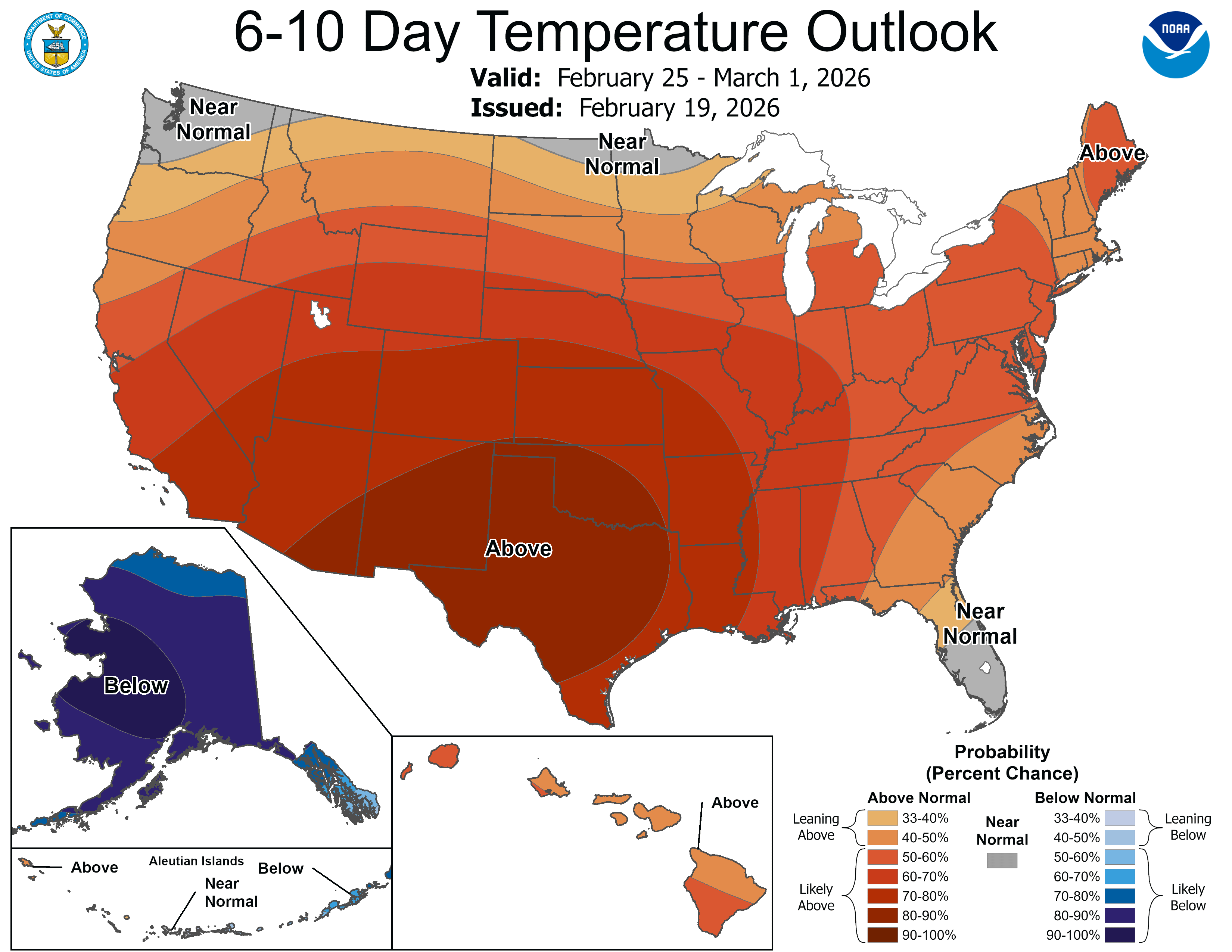
Average temperatures for February are running 11 degrees above normal, and the warmer-than-average trend is expected to continue through the end of the month.