
Below-zero wind chills Saturday night; flurries possible Sunday
Warming trend on Tuesday with snow chances returning

Go Deeper.
Create an account or log in to save stories.
Like this?
Thanks for liking this story! We have added it to a list of your favorite stories.


Wind chills are expected to drop below zero overnight as colder air settles in and northwest winds remain brisk. Temperatures rebound Tuesday, but the warming trend will come with renewed chances for light snow, especially across northern parts of the region.
Below-zero wind chills through Sunday morning
Overnight temperatures will plunge well below freezing, dropping into the single digits, with some spots near the metro barely reaching the low teens. Brisk northwest winds will push wind chills well below zero in many areas by early Sunday morning.
Low-level clouds will thicken late Saturday night, with widespread flurries possible through Sunday afternoon. High pressure overhead will keep temperatures frigid, as Sunday highs struggle to climb out of the single digits and teens.

Temperatures Monday will remain similar to the weekend, with below-normal readings continuing across much of the region. A warming trend begins late Monday night into Tuesday, with highs reaching near or just above freezing across most areas and climbing into the 40s and possibly near 50 in southwestern Minnesota.

A fast-moving clipper system will bring a chance of snow to north-central and northern Minnesota on Tuesday. Snowfall is expected to be light, with accumulations generally under 2 inches.
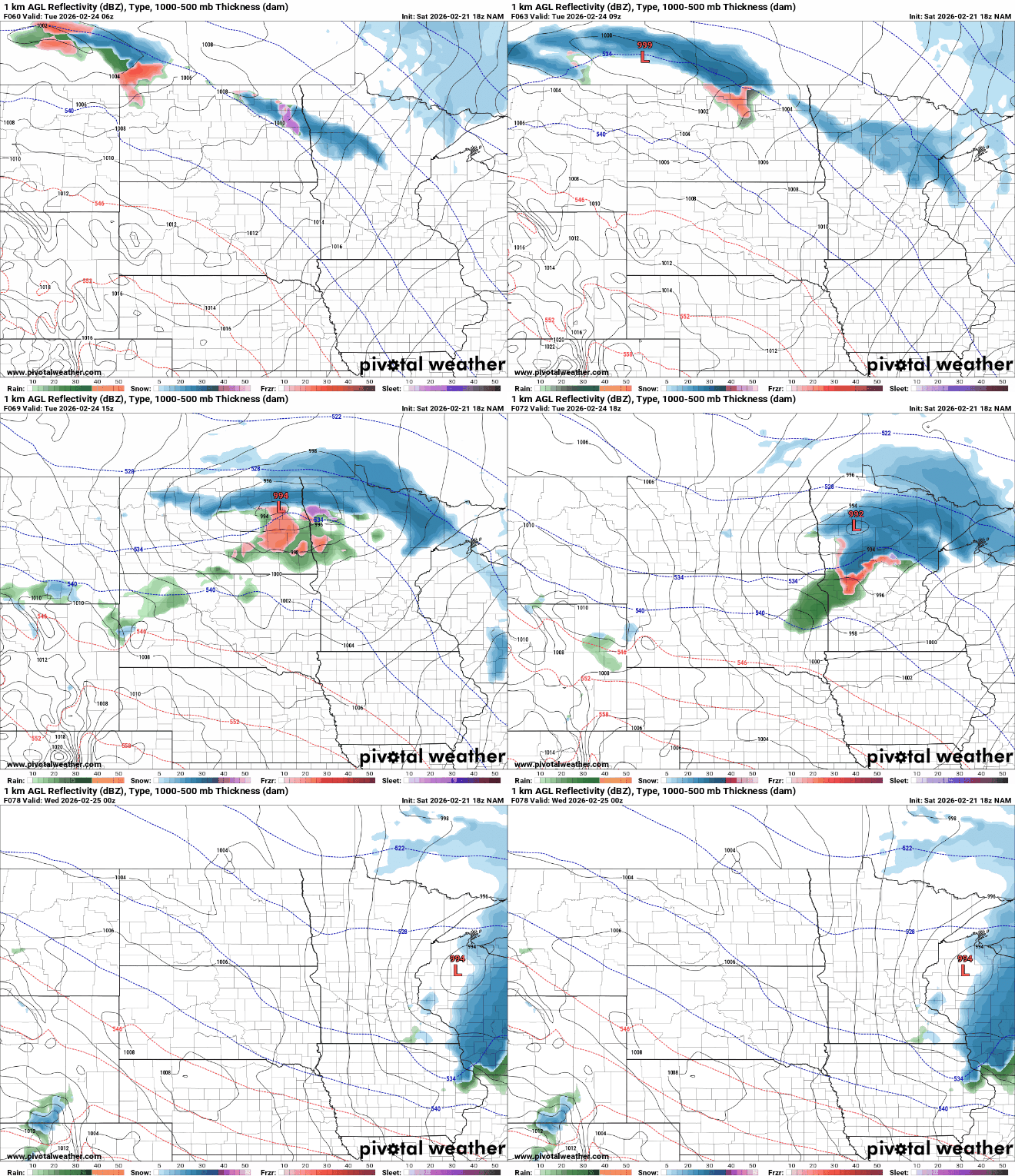
Temperatures are forecast to dip back below freezing Wednesday, with additional chances for light snow. Above-freezing temperatures are expected to return by the end of the workweek, with Friday likely the warmest day.
Turn Up Your Support
MPR News helps you turn down the noise and build shared understanding. Turn up your support for this public resource and keep trusted journalism accessible to all.

