
Chilly, calm conditions expected this weekend
Cold snap drops highs 10 or more degrees below normal

Go Deeper.
Create an account or log in to save stories.
Like this?
Thanks for liking this story! We have added it to a list of your favorite stories.


A chilly, quiet weekend is expected, with temperatures below normal. A more active pattern returns by midweek with multiple clipper systems.
Return to winter
Winter makes a return this weekend, with cooler temperatures settling back into the region. Highs Saturday are expected to reach only the teens in western Minnesota and the low 20s farther east. Low clouds moving north from Iowa will likely block most sunshine after the morning hours.

Sunday will be even colder as another surge of Canadian air moves in. High pressure will keep conditions mostly dry through Monday, though a few flurries may occur under lingering clouds.

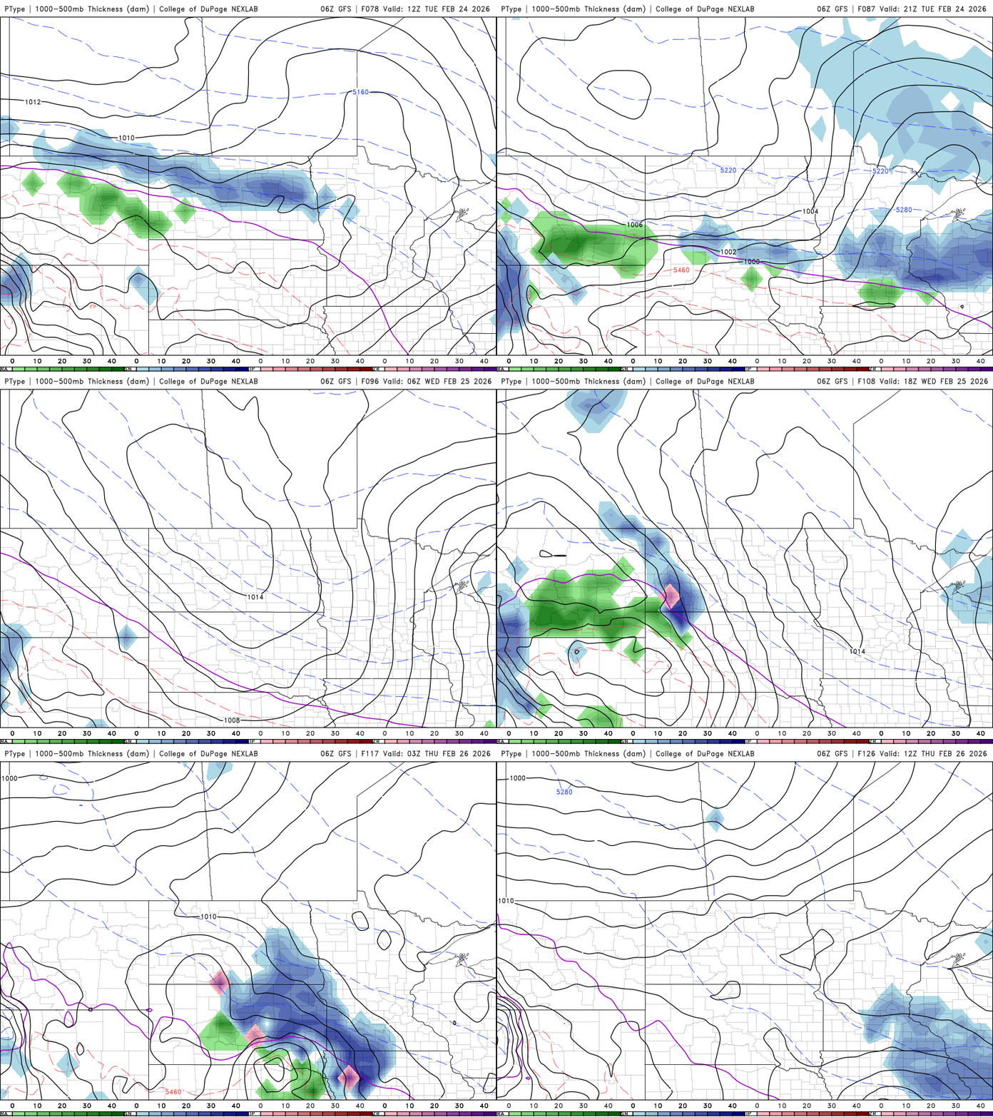
The weather pattern becomes more active by midweek, with a couple of fast-moving clipper systems bringing chances for snow Tuesday and Wednesday. The first system could drop around an inch of snow in parts of northern Minnesota and western Wisconsin on Tuesday.
A stronger system may follow Wednesday, with the potential for several inches of snow across parts of the Dakotas and southern Minnesota.
Temperatures will remain below normal through Monday, with northern Minnesota staying cooler. Southern Minnesota should see highs climb back into the 30s and 40s as a warming trend develops Tuesday and continues through the week.

Turn Up Your Support
MPR News helps you turn down the noise and build shared understanding. Turn up your support for this public resource and keep trusted journalism accessible to all.

