
Below-normal temperatures persist into midweek
Clipper systems bring snow chances this week

Go Deeper.
Create an account or log in to save stories.
Like this?
Thanks for liking this story! We have added it to a list of your favorite stories.


A persistent northwest flow pattern will maintain cold and mostly dry conditions across the Upper Midwest through early next week before a more active midweek weather setup develops. A warming trend is expected to take shape toward the end of February.
Cloudy, cooler Sunday
Cold, dry northwest flow will persist across the Upper Midwest, bringing another day of frigid but quiet conditions to Minnesota. Highs will reach the single digits and teens across northern Minnesota, with mid-teens scattered throughout southern portions of the state.

Northwesterly winds will be slightly stronger than Saturday, with speeds ranging from 10 to 20 mph.
Turn Up Your Support
MPR News helps you turn down the noise and build shared understanding. Turn up your support for this public resource and keep trusted journalism accessible to all.
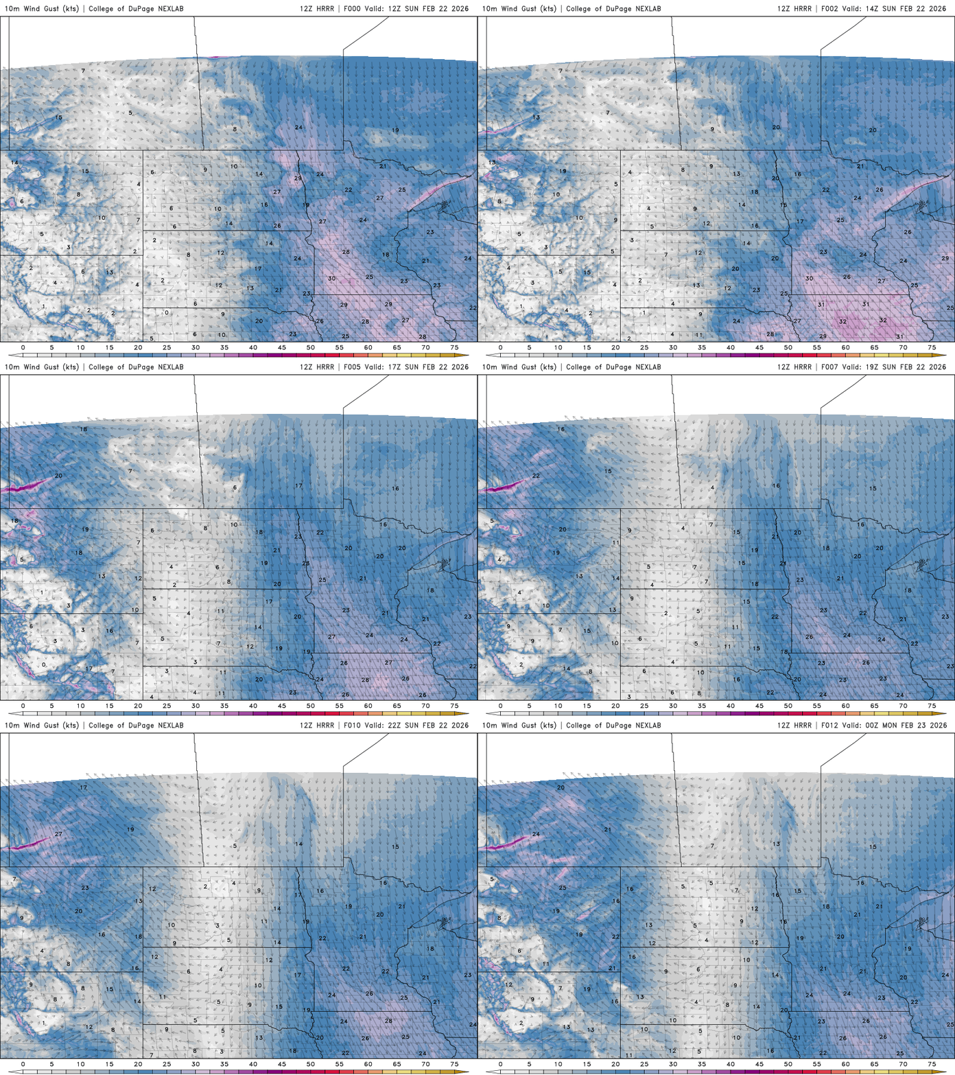
As a Canadian high-pressure system centers over the state, wind chill values early Monday morning will fall into the teens and single digits below zero.

High temperatures will once again run below average, with mid to upper teens across northern Minnesota, around 20 degrees in the Twin Cities and low to mid-20s in southern Minnesota.

Clipper systems move through
Our next chance for precipitation comes Tuesday, as a clipper system mainly affects north-central and northern Minnesota.
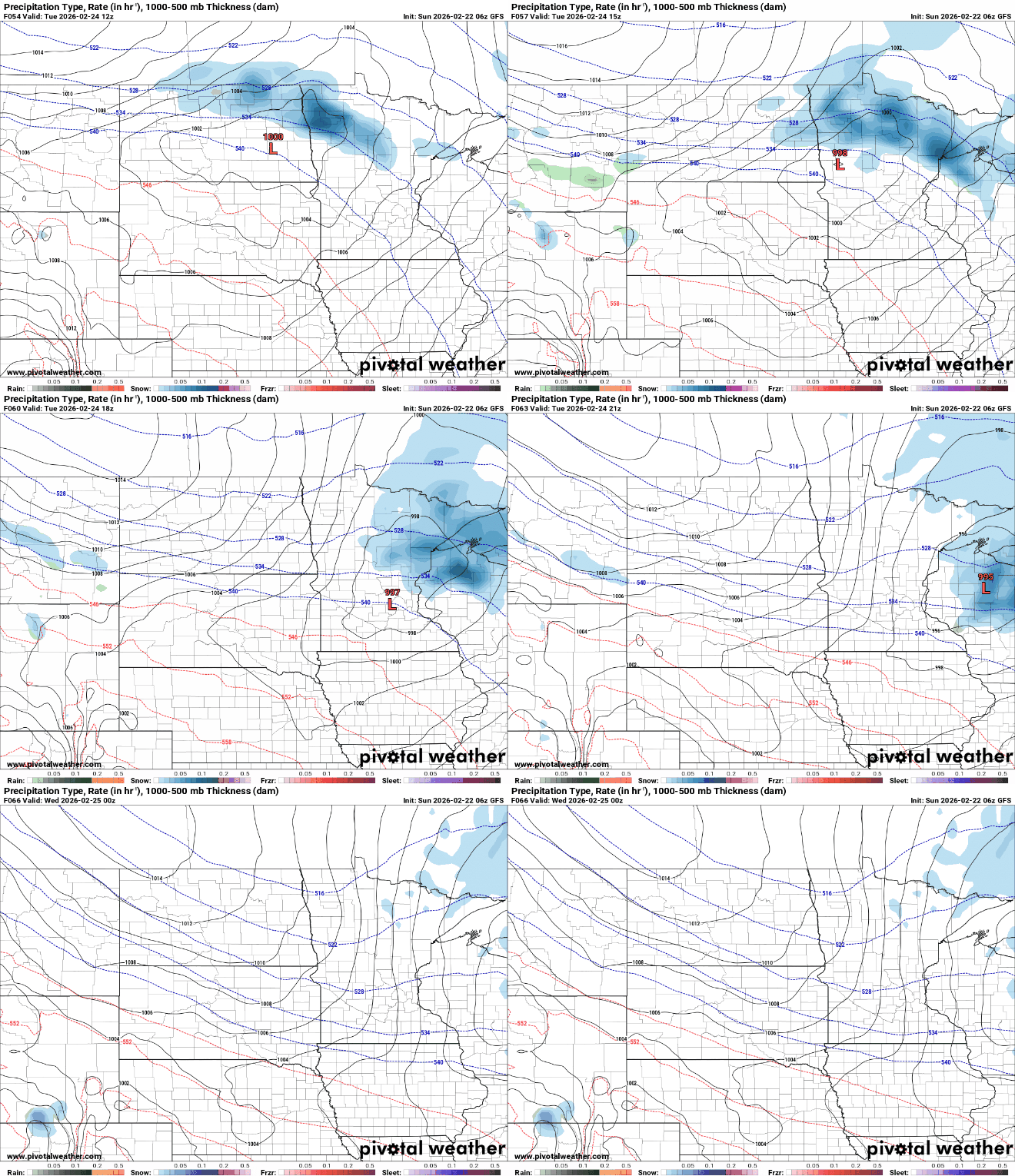
Very light accumulation is expected, around an inch, except in the Arrowhead and along the North Shore, where lake enhancement could produce several inches of fresh powder.

A potential clipper system could bring plowable snow Wednesday, primarily to the southern region. However, recent forecast models have shifted the system farther south, and low confidence in its track makes it too uncertain to specify where significant snow may occur.
Our temperatures will roller-coaster through the week, with a warm-up Tuesday, cooler readings Wednesday behind the cold front, and a more significant rebound Friday as widespread 40s and 50s return.


