
Midweek snowfalls, roller coaster temperatures this week
Winter storm warnings, weather advisories for Arrowhead Tuesday
Go Deeper.
Create an account or log in to save stories.
Like this?
Thanks for liking this story! We have added it to a list of your favorite stories.


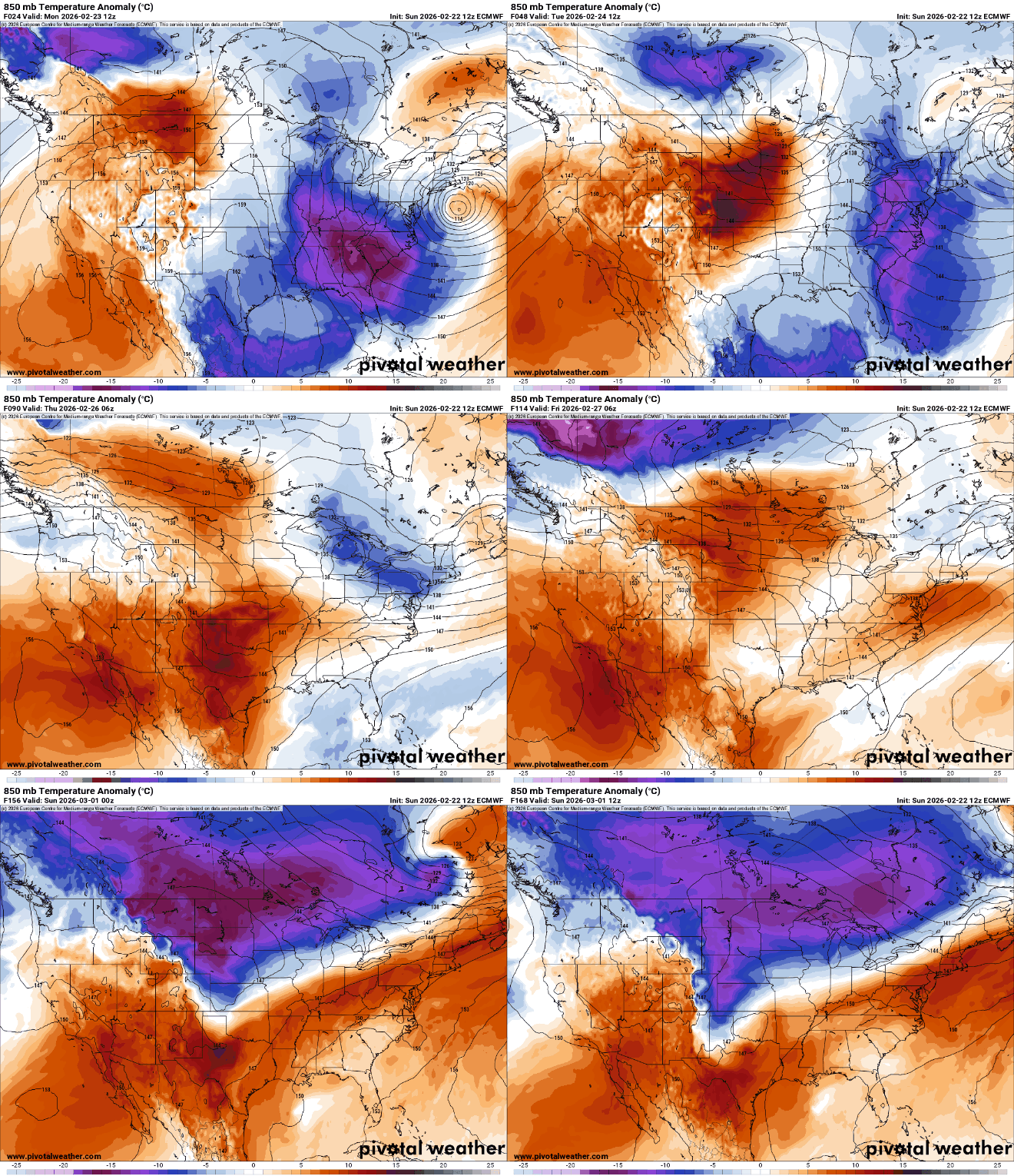
Monday will be cool. Temperatures will warm briefly Tuesday and bring some snow showers. It will cool off again midweek before warming.
Roller coaster temperatures as clipper systems move through
We’ll start Monday with sunshine and chilly temperatures — mostly subzero north and in the single digits south.
Clouds will increase some midday into the afternoon with afternoon highs mostly in the 20s south and teens north. Those readings are about 5 to 10 degrees cooler than normal for the date.

Monday night won’t be as cool as clouds continue to increase. Overnight temperatures will stay pretty steady in the teens north and 20s south and west. Tuesday will be briefly milder with above-freezing temperatures across southern Minnesota.
Turn Up Your Support
MPR News helps you turn down the noise and build shared understanding. Turn up your support for this public resource and keep trusted journalism accessible to all.

The temperature fluctuations are the result of an incoming clipper system. Northeastern Minnesota will see a few snow showers Monday night with more snow showers during the day Tuesday.
Central Minnesota, including the Twin Cities, will likely see some midday snow showers on the southern extent of this system.
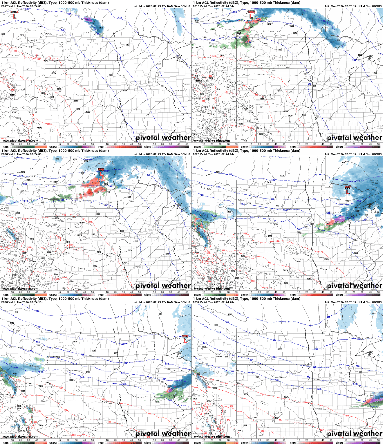
Snowfall will be highest along the North Shore with several inches or more. Central Minnesota will see less than 1 inch.

There are winter storm warnings and winter weather advisories posted Tuesday for the Arrowhead:

Temperatures dip again for Wednesday into the 20s and teens but will already warm back above freezing for Thursday and Friday across central and southern Minnesota.

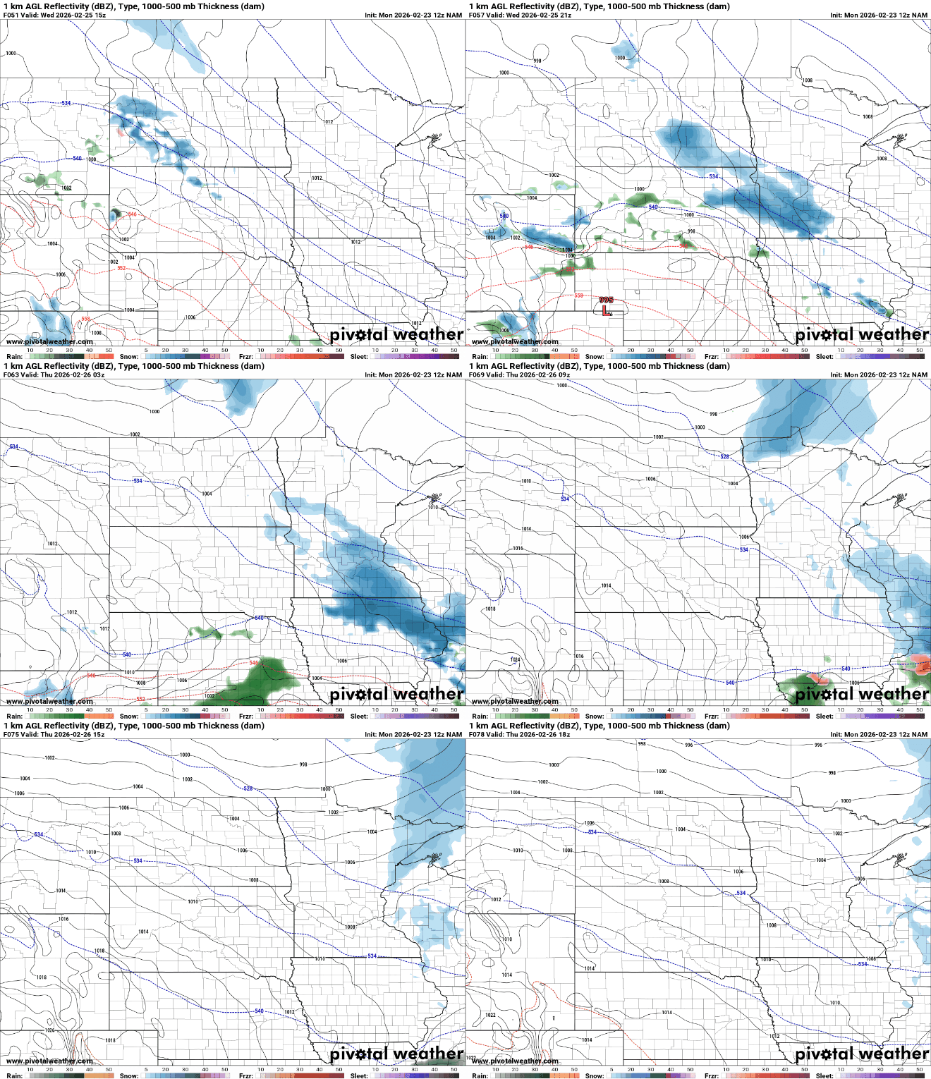
Another clipper system will affect mainly southern Minnesota late Wednesday into Thursday. Most forecast models favor southern Minnesota with about 1 to 3 inches of snow late Wednesday into early Thursday, mostly south of the Minnesota River.
Colder air with snow showers out ahead of it will blow through Friday night. Highs this weekend will be back in the 20s and teens.

