
North Shore braces for Round 2 as clipper system brings heavy snow
Blowing snow possible behind breezy cold front

Go Deeper.
Create an account or log in to save stories.
Like this?
Thanks for liking this story! We have added it to a list of your favorite stories.


The North Shore is preparing for another burst of winter weather as a fast-moving clipper system is expected to bring accumulating snow and gusty winds Tuesday. The heaviest snow totals are expected along the Lake Superior shoreline.
Another blast of winter for North Shore and Arrowhead
Winter isn’t taking a break in the Northland. A quick-moving clipper will zip out of the Canadian Prairies and sweep across northern Minnesota late Monday into Tuesday, dropping another round of snow. Unlike the last system, which piled up wet and heavy accumulations, this one is forecast to deliver a drier, more powdery snowfall.
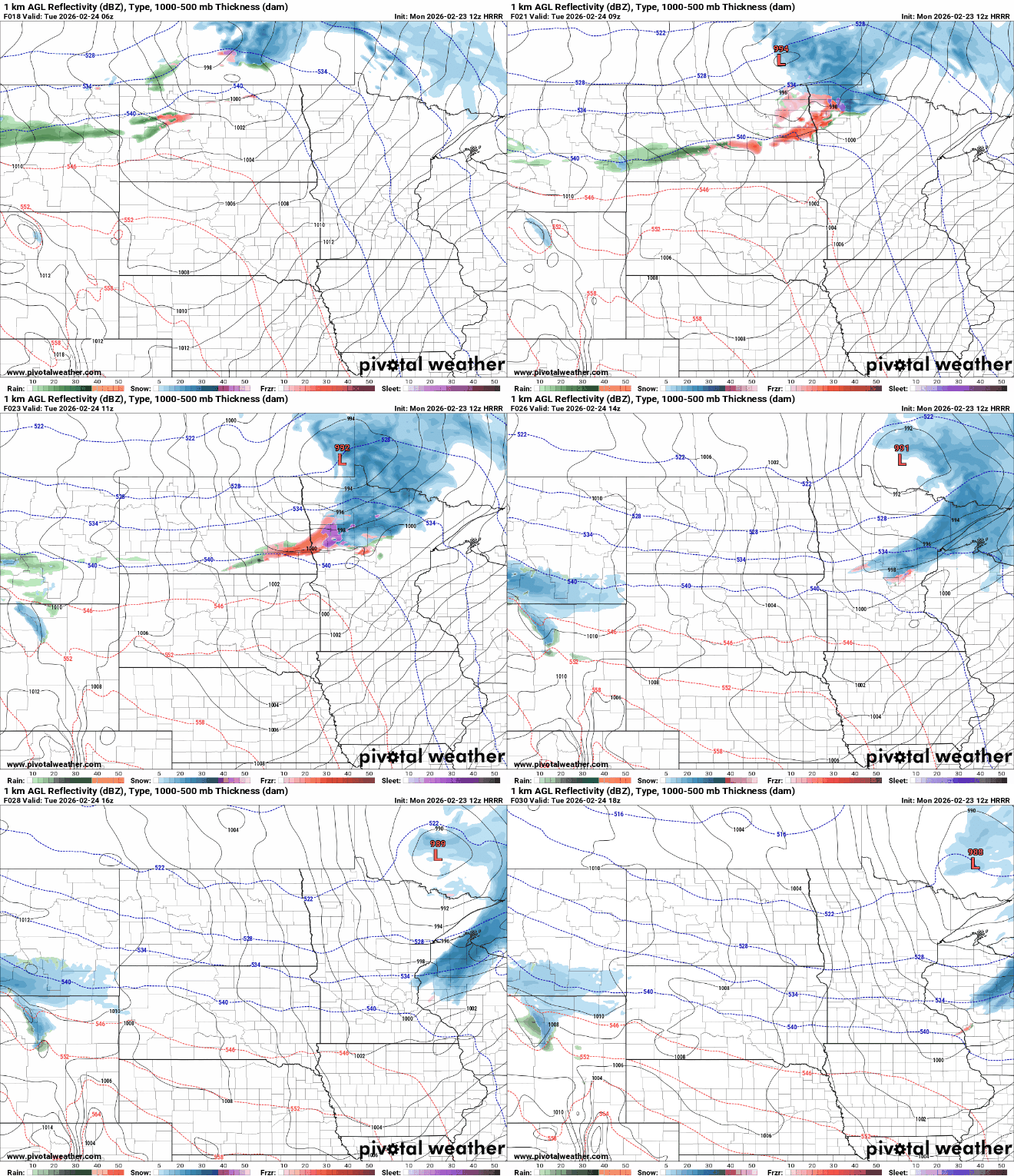
Snow totals have ticked up a bit in the latest forecast, prompting upgraded alerts along the North Shore. A winter storm warning is in effect for southern Cook County, while winter weather advisories cover inland Cook and Lake counties, as well as southern Lake County.

Southern Cook County looks to be in the bull’s-eye, with Grand Marais, Eagle Mountain, Hovland and Grand Portage all forecast to pick up 6 inches or more.
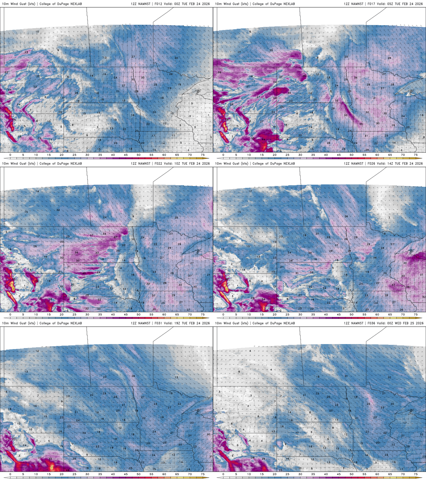
The heaviest snowfall rates are expected Tuesday morning before the main band shifts east by Tuesday afternoon. A trailing cold front could bring gusty winds and scattered snow showers before conditions quiet down Tuesday night. The Tuesday morning commute is likely to be significantly affected.
The next strong system Wednesday will mostly bypass the Northland, hitting southern Minnesota and the Central Plains. Even in its final days, meteorological winter is making a strong finish.
Turn Up Your Support
MPR News helps you turn down the noise and build shared understanding. Turn up your support for this public resource and keep trusted journalism accessible to all.

