
Cooler Wednesday but warmer again Thursday and Friday
Temperatures will drop again for the weekend
Go Deeper.
Create an account or log in to save stories.
Like this?
Thanks for liking this story! We have added it to a list of your favorite stories.


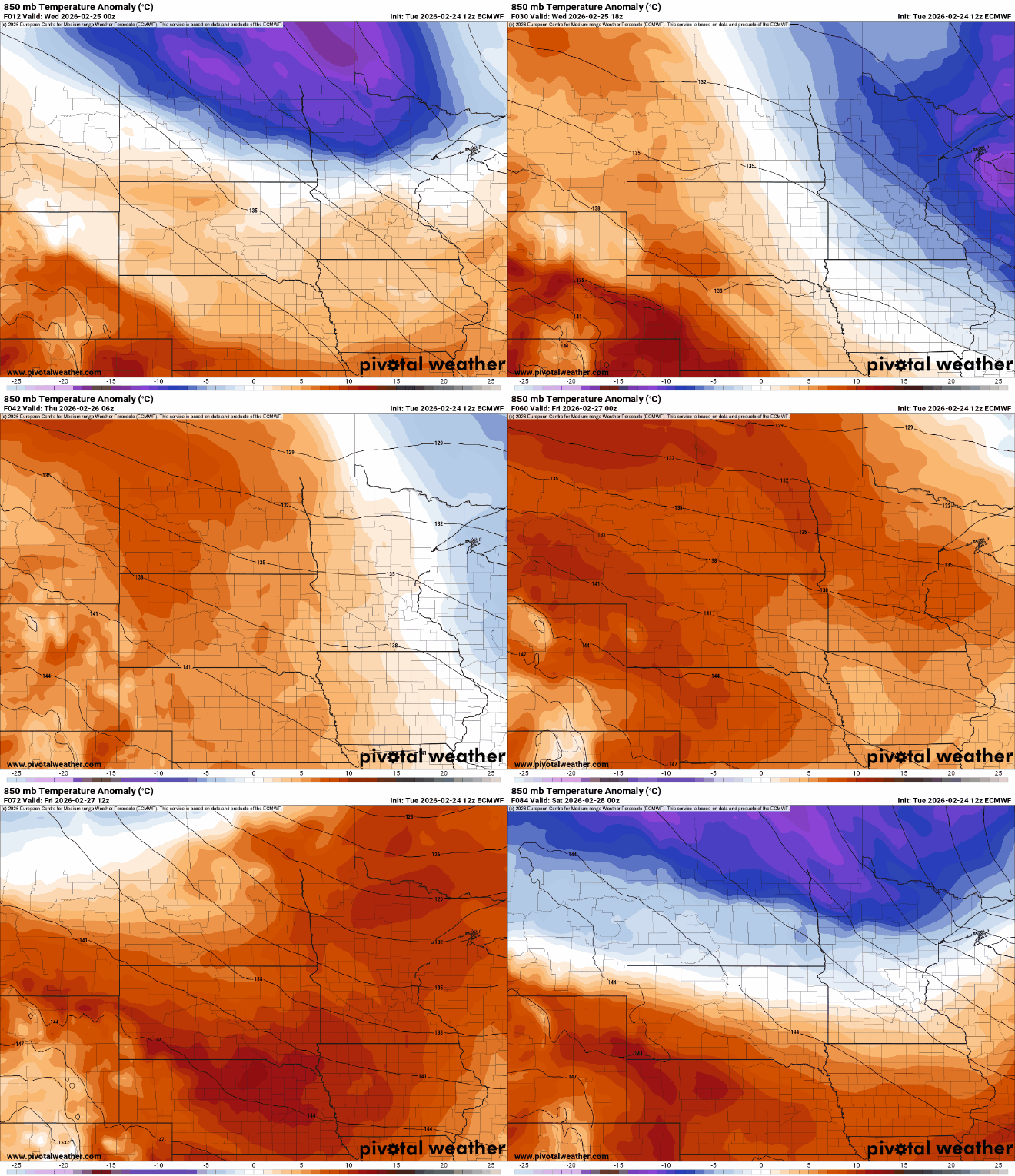
Behind Tuesday’s clipper, temperatures are cooler Wednesday. We’ll see a fair amount of sun and warmer air returns Thursday before temperatures cool off this weekend.
Cooler again Wednesday followed by more mild air
Behind Tuesday’s clipper system, temperatures are cooler Wednesday. We’ll see afternoon highs in the 20s south and teens north. Most of us should see a fair amount of sun most of the day, too.
Southwestern Minnesota will see more clouds by midday ahead of the next disturbance.

Warmer air is already on the way for Thursday and Friday. Ahead of it, another clipper — this time sort of split in north and south branches — will bring snow showers to mainly northeastern Minnesota Wednesday night and far southwestern Minnesota late Wednesday afternoon into the evening.
Turn Up Your Support
MPR News helps you turn down the noise and build shared understanding. Turn up your support for this public resource and keep trusted journalism accessible to all.
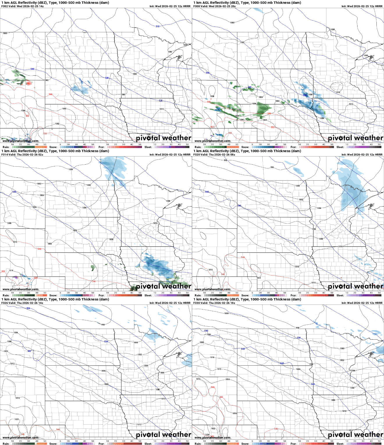
Snowfall will be relatively light with most areas in northeastern Minnesota receiving just a dusting to perhaps 1 or 2 inches in isolated pockets. The southwest corner of the state could see a bit also later this afternoon and evening.

Highs Thursday and Friday will be warmer and back above normal. Highs Thursday will reach the 40s with 50s in southern Minnesota Friday.

A cold front is already poised to move through the state late Friday. That will drop temps for the weekend, back below normal. Highs Saturday will be in the 20s south but just near zero in the northwest corner of Minnesota.
That will set us up for a cold night with single digits above zero south and well below zero temps north.

There will also be some snow showers developing along and just behind that cold front Friday night into Saturday morning. Forecast models still have quite a spread in potential tracks but we’ll need to watch southern Minnesota for up to a couple of inches of fresh snow.


