Heavier snow targets southeastern Minnesota as advisories continue
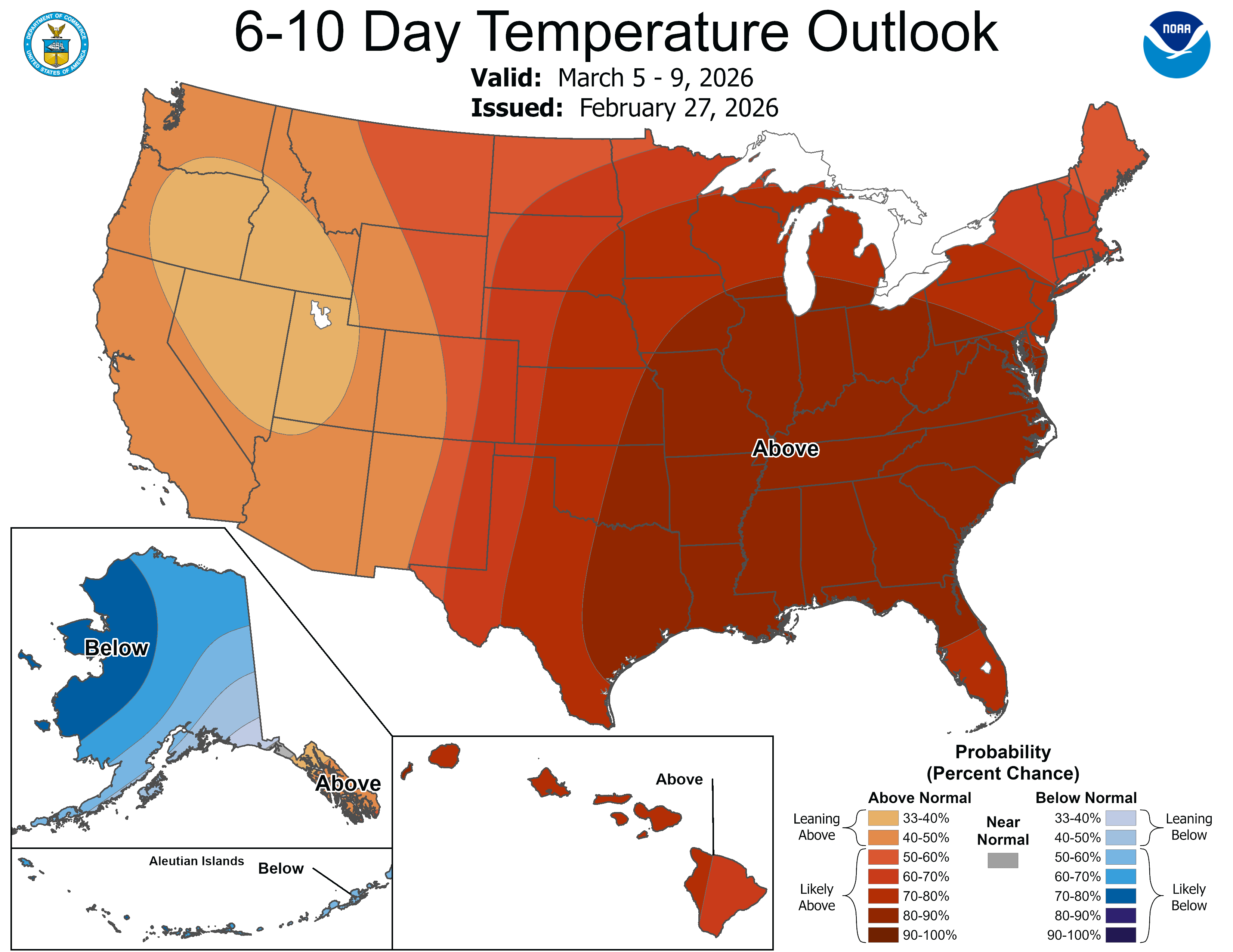
Gradual warming trend to bring springlike temperatures next week

Go Deeper.
Create an account or log in to save stories.
Like this?
Thanks for liking this story! We have added it to a list of your favorite stories.


A strengthening band of snow early Saturday is expected to bring the heaviest accumulations to southern Minnesota, with lighter totals farther north.
Southern Minnesota under winter weather advisory
Despite marking the final day of meteorological winter, the season is making its presence felt. A winter weather advisory remains in effect across the southern third of Minnesota. In western and southwestern Minnesota, the advisory continues until 6 p.m., while the southeastern corner of the state remains under advisory until 9 p.m.

A swath of heavier snow is expected mainly along and south of the Minnesota River Valley into southeastern Minnesota. Snowfall totals of 2 to 4 inches are likely, with isolated amounts of 5 or even 6 inches possible.
A sharp cutoff is expected on both the northern and southern edges of the band, with totals dropping to just a few inches across the southwestern Twin Cities metro area, including Carver, Scott and Dakota counties.
Turn Up Your Support
MPR News helps you turn down the noise and build shared understanding. Turn up your support for this public resource and keep trusted journalism accessible to all.
Friday’s blustery winds have eased, reducing the risk of whiteout conditions. However, periods of reduced visibility remain possible, with snowfall rates approaching 1 inch per hour at times.
Behind the clipper system, partial clearing could set the stage for a frigid night across the Northland. Lows are expected to fall well below zero, with teens below zero across northern Minnesota. Central and southern Minnesota will see lows ranging from the single digits above zero to a few degrees below zero.

Cooler weather continues Sunday, with highs reaching only the teens in northern Minnesota and the 20s across southern areas. Sunshine is expected across much of the state.

The cold spell is expected to ease next week as the weather pattern shifts, bringing more springlike temperatures. There is also a chance of storms, with any precipitation likely to be a mix of rain and snow typical of early spring.