
Cold start Sunday, gradual warmup through week; active pattern late in week
Forecast calls for 50s by midweek

Go Deeper.
Create an account or log in to save stories.
Like this?
Thanks for liking this story! We have added it to a list of your favorite stories.


High pressure will bring clearing skies and fair weather to start March. A typical springlike warmup is in store this week, with a more active weather pattern by week’s end.
Warmer and sunny Sunday
Happy first day of meteorological spring!
Sunshine is in the forecast with high pressure overhead, but temperatures will remain a bit on the cool side. After a chilly start Sunday morning, highs are expected to reach the mid-teens across northern areas, with mid- to upper 20s across the southern half of the region.

Warmer air will surge into the region Monday, pushing temperatures back above freezing and above seasonal averages. The warming trend is expected to continue through Tuesday, Wednesday and Thursday, with each day becoming increasingly milder. Highs could reach the 50s by midweek.

A low-pressure system is expected to move across the central Plains into the mid-Mississippi Valley on Tuesday. The northern edge of the system could affect parts of southern Minnesota.
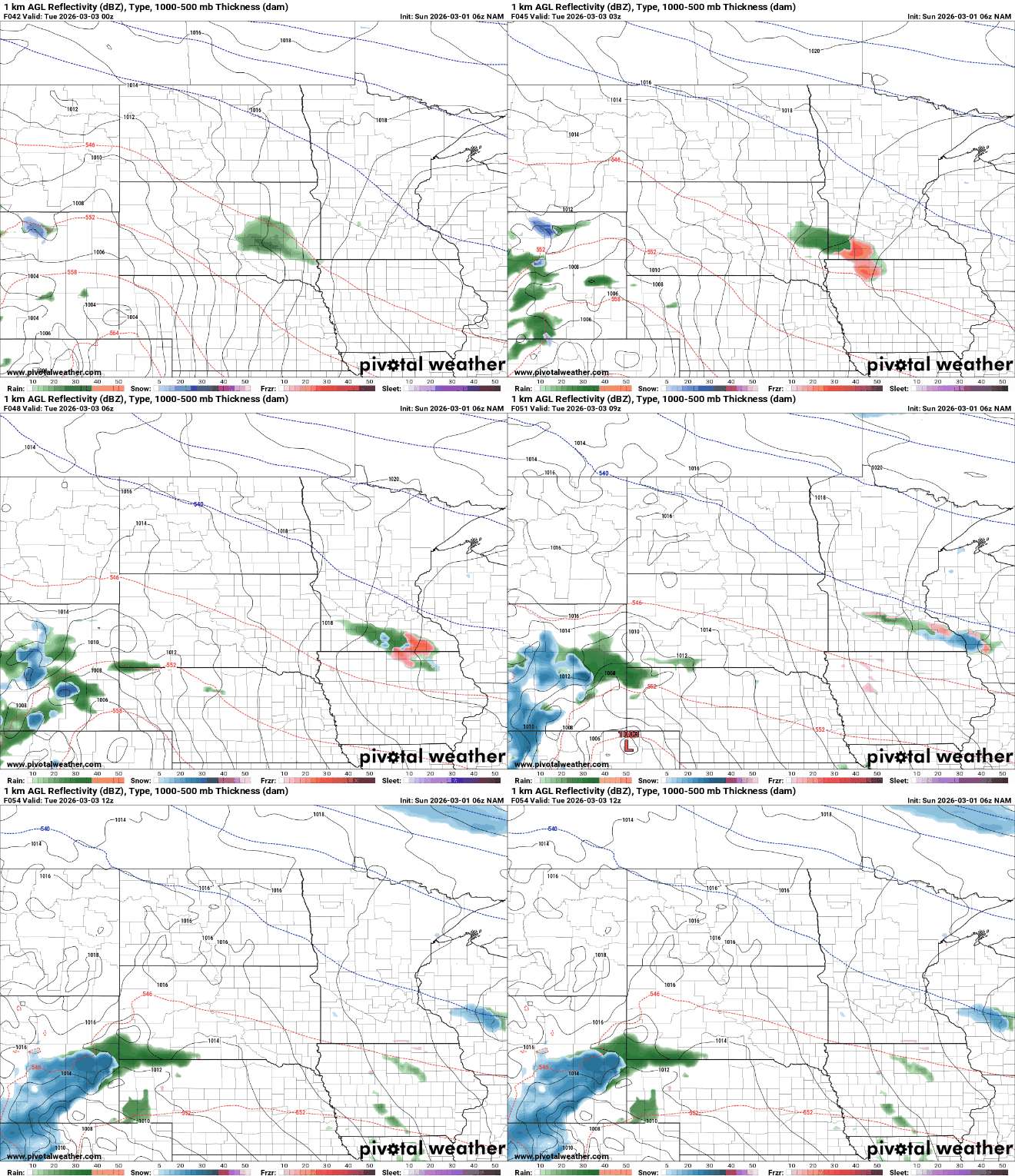
Precipitation amounts are currently expected to be light. With temperatures at or above freezing, any precipitation would likely fall as rain.
Attention then turns to the end of the week, when the weather pattern is expected to become more active. Friday currently appears to offer the best chance for a more significant system in the Upper Midwest. Where precipitation does occur, rain is expected to be the most likely type based on current temperatures.
Turn Up Your Support
MPR News helps you turn down the noise and build shared understanding. Turn up your support for this public resource and keep trusted journalism accessible to all.

