
Warming trend builds this week; rain likely late week
50s returning to the forecast by Tuesday

Go Deeper.
Create an account or log in to save stories.
Like this?
Thanks for liking this story! We have added it to a list of your favorite stories.


The seasons are shifting, and this week will offer a true sign of spring. Highs are expected to reach the 50s by Tuesday, with increasing chances of rain by Friday.
Clear, chilly, and calm night
High pressure will bring clear skies Sunday night, allowing temperatures to drop into the single digits across northern Minnesota, with upper teens and 20s across central and southern parts of the state.

The workweek will begin with highs in the mid-30s to low 40s, near seasonal averages.

A warming trend will bring 40s and 50s back to the forecast by Tuesday, with temperatures continuing to climb through Thursday, when some areas could see their first 60-degree reading of the season.
Colder Canadian air is expected to remain north of the state until a larger system on Friday pulls cooler air into the region.
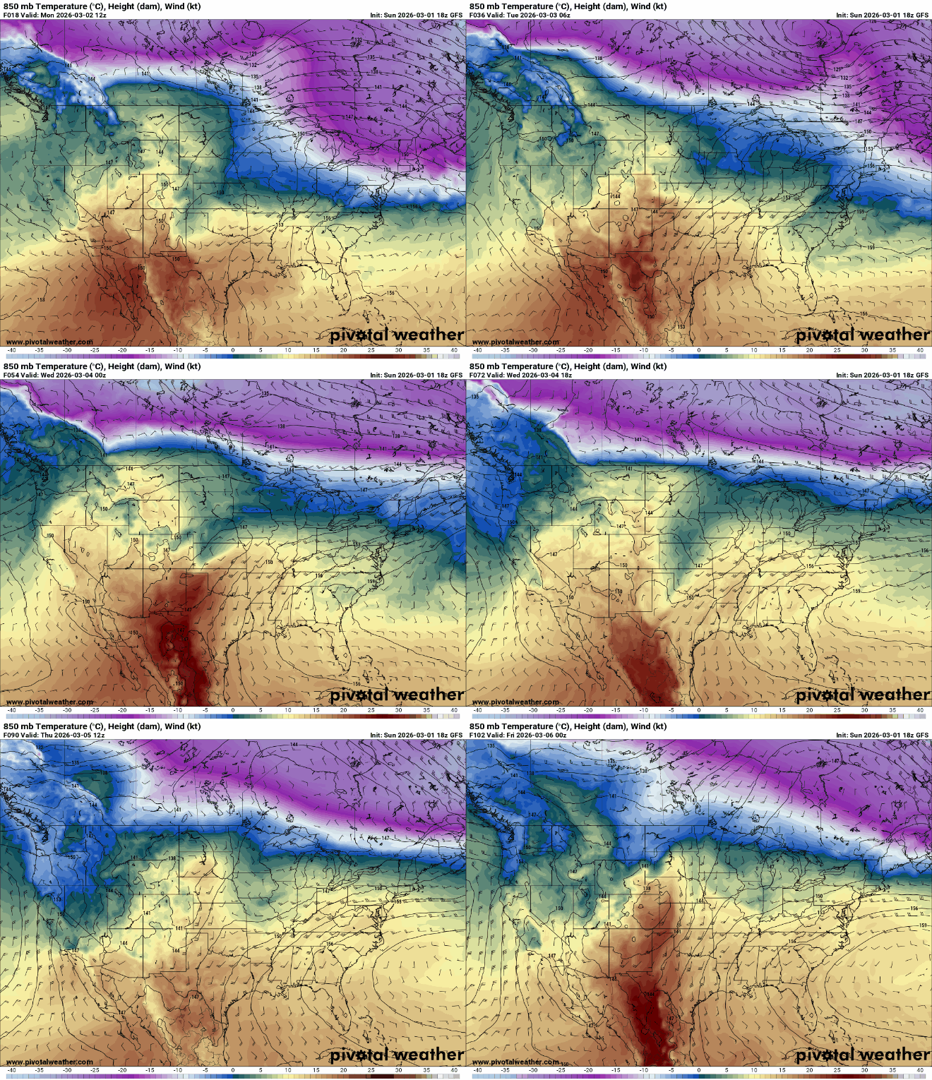
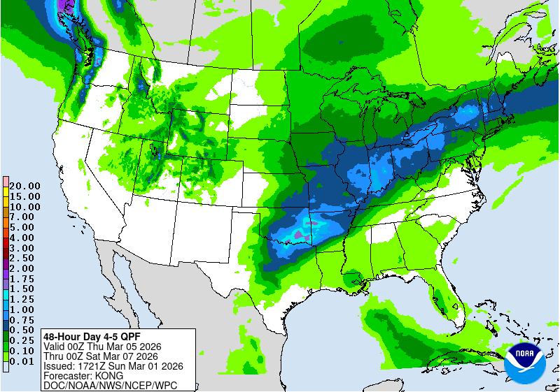
The pattern becomes more dynamic late in the week, with a stronger system expected to move across the Plains Thursday night and reach the Upper Midwest by Friday. This system lacks strong cold air, so snow chances remain low. Widespread rain and mild temperatures are more likely as it moves through.
Turn Up Your Support
MPR News helps you turn down the noise and build shared understanding. Turn up your support for this public resource and keep trusted journalism accessible to all.

