
Early taste of spring: Highs surge toward 60
Twin Cities could see first 60-degree reading of the year

Go Deeper.
Create an account or log in to save stories.
Like this?
Thanks for liking this story! We have added it to a list of your favorite stories.


Our main story this week is the steady climb in temperatures and the growing potential for the first 60-degree reading of the year.
Spring into the 60s
A recent taste of 40s and 50s have given us just a preview of what March can bring. This week’s temperature trend shows a flirtation with 60s in the metro. Our noticeable warm-up begins Wednesday. High temperatures are expected to reach well into the 50s area-wide, a trend that continues Thursday.

Those readings run well above average for early March by about 15-25 plus degrees and show just how much spring is trying to take hold.
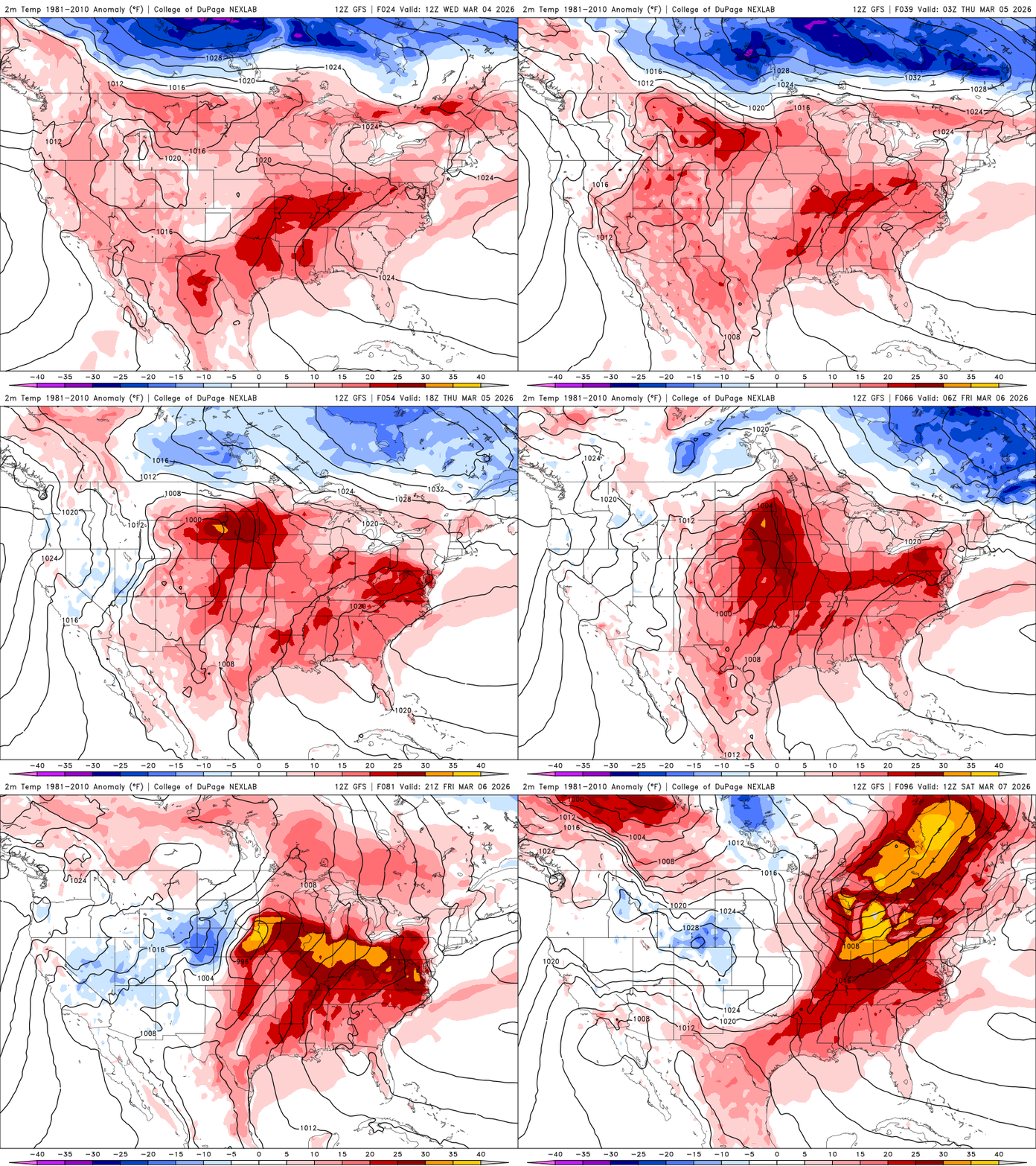
Friday’s high temperatures will make a run at 60 for the Twin Cities — or come very close to it. Our last 60 degree reading was Nov. 15, and the Twin Cities average for the first 60 degree reading is Mar 27.

The warmest air of the stretch is forecast to arrive this weekend. Temperatures are expected to rebound into the 50s again Sunday, with some locations potentially climbing into the low 60s again.

Early next week is expected to bring more of the same, with highs remaining in the 50s to possibly near 60 before temperatures trend closer to seasonal norms by late week.
Turn Up Your Support
MPR News helps you turn down the noise and build shared understanding. Turn up your support for this public resource and keep trusted journalism accessible to all.

