
Mild temperatures continue. Incoming classic spring storm Friday
Next week will be colder and potentially more active
Go Deeper.
Create an account or log in to save stories.
Like this?
Thanks for liking this story! We have added it to a list of your favorite stories.


Thursday will be another mild and mostly dry day. An incoming storm system will bring rain and thunder Friday with potential snow Friday night.
Mild temperatures continue; spring storm Friday
There are some patchy areas of fog to burn through Thursday morning. Dense fog advisories are posted for north central Minnesota through midday Thursday.
There is also some freezing drizzle around Duluth and the North Shore as well as portions of northwestern Minnesota, prompting winter weather advisories there for ice.

We’ll see another mild day with a mix of clouds and sunshine. Afternoon highs will be in the 50s and 40s for most with colder pockets in northwestern Minnesota and the Arrowhead.
Turn Up Your Support
MPR News helps you turn down the noise and build shared understanding. Turn up your support for this public resource and keep trusted journalism accessible to all.

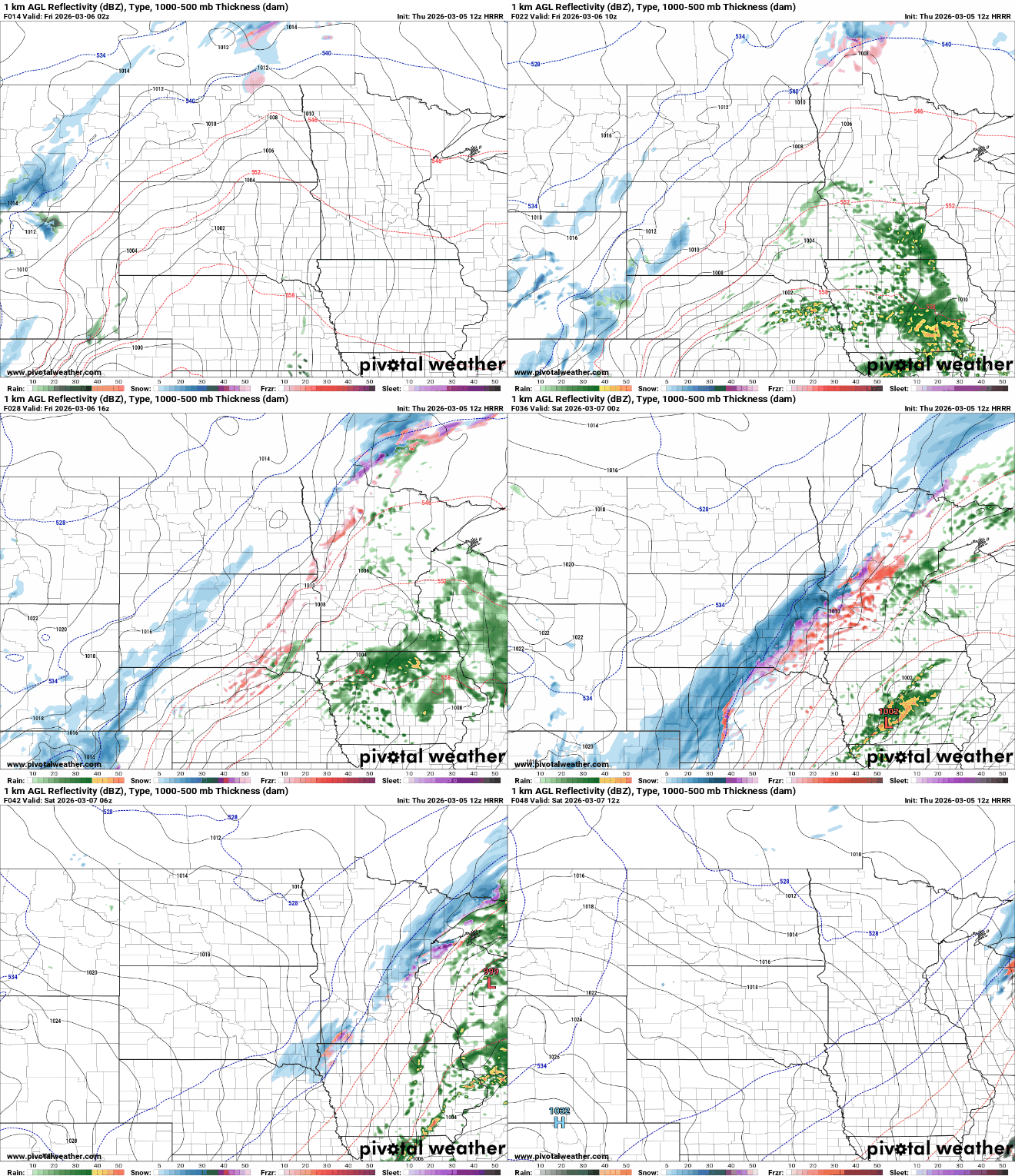
The focus then turns towards precipitation as the next storm system moves in Thursday night. It’s a classic spring storm that will bring a variety of precipitation types over the next 48 hours.
Showers and a few thunderstorms will make their way into southwest Minnesota overnight Thursday and expand north and east. We’ll see on-and-off showers a good chunk of Friday.
There’s even a marginal (level 1 of 5) risk of some severe weather in southeastern Minnesota, primarily a hail threat. The main severe threat is farther south into Iowa, Missouri, Kansas and Oklahoma Friday.

We’ll also be watching for the potential of some freezing precipitation and ice accumulation in portions of western and northern Minnesota, especially late Friday into Friday night.

There will likely be a narrow area of snowfall developing Friday night as colder air wraps into the system and temperatures fall across the region. Most forecast models favor portions of northern and western Minnesota for snow.

It’ll then be briefly cooler Saturday with highs mostly in the 40s across the state and decreasing clouds.

We’re right back into very mild territory though for Sunday and Monday when we’ll likely see highs in the 60s across southern Minnesota. This would be the first 60 for the Twin Cities, coming a couple weeks earlier than normal and three weeks earlier than the historical average.

Don’t get used to the “spring fever,” though. Colder air sets in midweek next week and it’s looking active with a few storm systems to monitor into the middle of the month.

