
Light snow, slick spots early before weekend warmup
First 60-degree readings possible Sunday, including the Twin Cities

Go Deeper.
Create an account or log in to save stories.
Like this?
Thanks for liking this story! We have added it to a list of your favorite stories.


After a wintry start to the weekend, temperatures are expected to surge Sunday, with the Twin Cities possibly reaching the 60-degree mark for the first time this year.
Light snow, slick spots early
An early March storm is wrapping up Saturday morning, with light snow and freezing drizzle lingering across parts of eastern Minnesota and western Wisconsin. Skies are expected to clear through the day, bringing plenty of sunshine by the afternoon. Northwest winds of 10 to 20 mph will add a chill to the air.
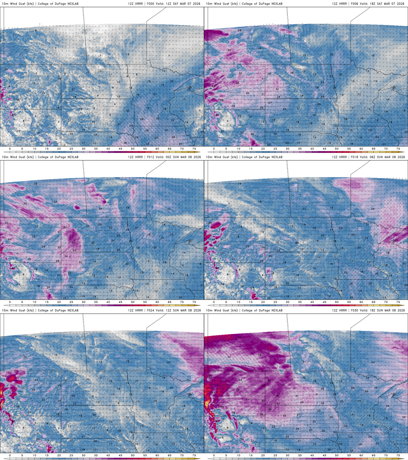
Saturday will be a bit cooler, with highs expected in the low to mid-40s across much of Minnesota. Western parts of the state could reach around 50 degrees as skies clear earlier and sunshine becomes more widespread.
Turn Up Your Support
MPR News helps you turn down the noise and build shared understanding. Turn up your support for this public resource and keep trusted journalism accessible to all.

Northwest winds will shift to the southwest late Saturday night into Sunday, allowing much warmer air to move into the region. Highs are expected to reach the 50s and even the 60s across parts of central Minnesota, which could bring the first 60-degree temperatures of the year.

A dry cold front will move through Monday, bringing more cloud cover and slightly cooler temperatures. Highs are expected to range from the 20s and 30s in northern Minnesota, the 40s across central areas, and the 50s to 60s in the southern part of the state.

A more active weather pattern is expected to develop beginning Tuesday, as a new storm system forms over the Plains and tracks toward the Upper Midwest.
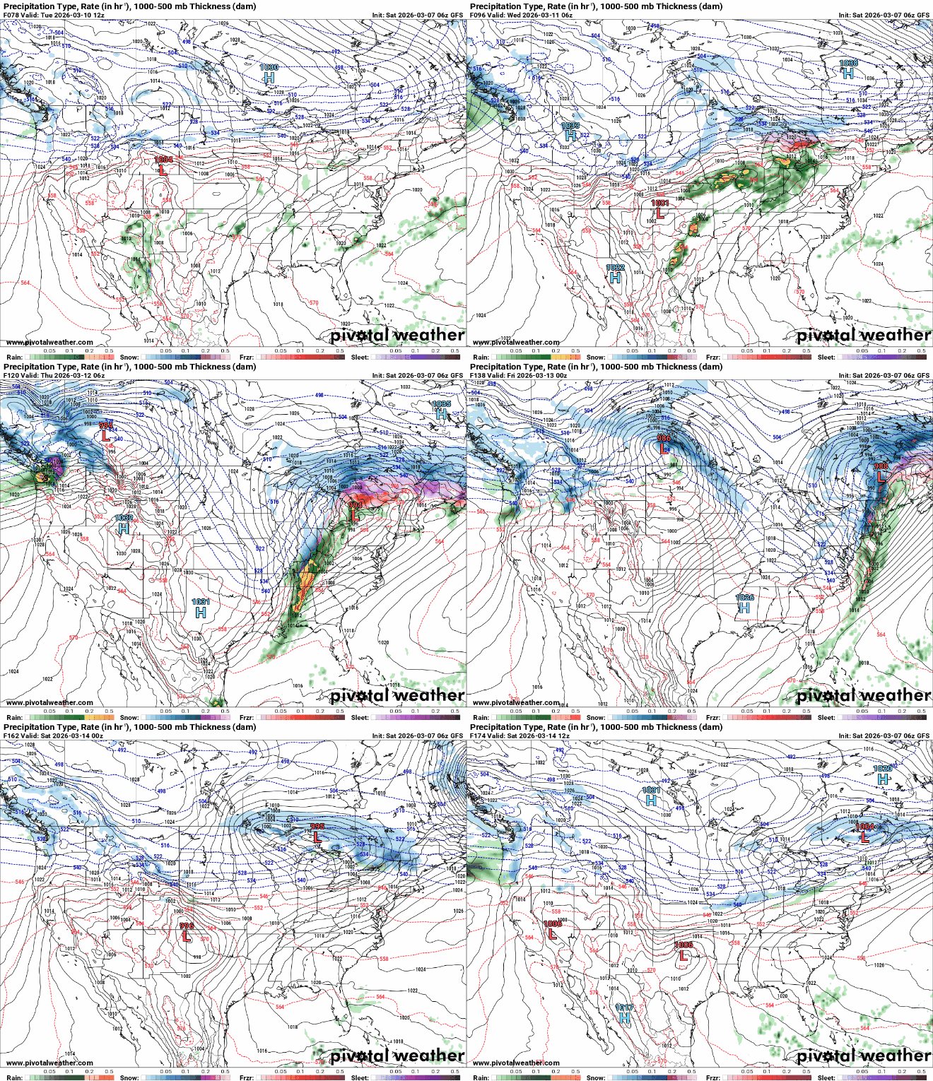
This pattern could bring several chances for rain or snow showers through much of next week. Most of the precipitation is expected to fall as snow since temperatures will be cooler on the northern side of the system. At this point, however, significant snowfall is not expected.

