
Season’s warmest day expected Sunday before snow chances return
Widespread 50s and 60s ahead

Go Deeper.
Create an account or log in to save stories.
Like this?
Thanks for liking this story! We have added it to a list of your favorite stories.


After a cool and cloudy Saturday, a strong warmup is expected Sunday, with highs climbing into the 60s across much of Minnesota.
Warmer overnight temperatures brings warm Sunday highs
Temperatures Saturday evening are expected to settle into the 30s and remain steady overnight as warmer air moves into the region.
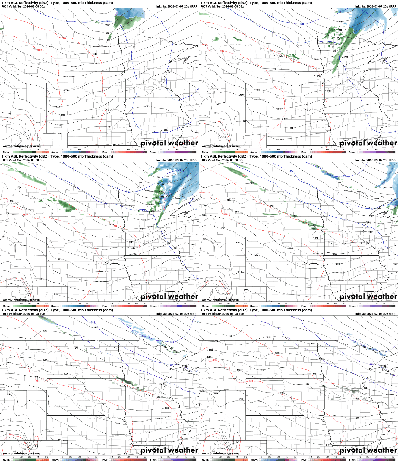
A weak disturbance moving across northern Minnesota could bring a few light rain or snow showers late Saturday night, though little to no accumulation is expected.
Sunday is expected to bring a sharp warmup. As warmer air spreads across the Upper Midwest, afternoon highs will climb into the low to mid-60s in many areas. Central Minnesota, including the Twin Cities metro, could see its first 60-degree reading of the season.

A more unsettled weather pattern is expected to bring several storm chances to the Upper Midwest in the coming days. The first arrives Monday night into Tuesday, followed by another system Thursday into Friday and a potential storm next weekend.
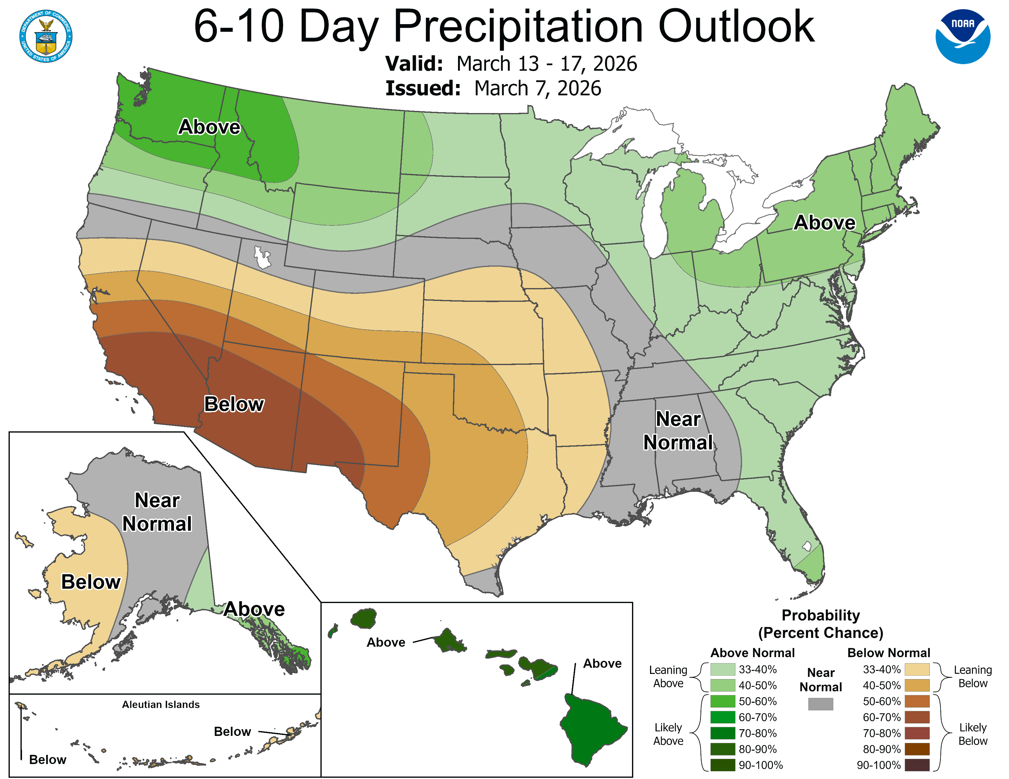
Temperatures are expected to remain on the cooler side of these systems, meaning much of the precipitation could fall as snow across the region. At this time, none of the systems appear particularly strong.
Turn Up Your Support
MPR News helps you turn down the noise and build shared understanding. Turn up your support for this public resource and keep trusted journalism accessible to all.

