
Mild Sunday, then cooler and active this week
We have a few chances of rain, snow through next weekend

Go Deeper.
Create an account or log in to save stories.
Like this?
Thanks for liking this story! We have added it to a list of your favorite stories.


Many areas will see their first 60 in southern Minnesota Sunday. A cold front brings cooler air, starting Monday, for the rest of the week. We have multiple rain and snow chances as well.
First 60 for many Sunday, then cooler and active the remainder of the week
We have scattered clouds Sunday morning and a few spotty showers ahead of warmer air moving in Sunday. Look for a mix of some mid-level clouds and sunshine and a very mild afternoon. Highs will range from the mid 60s south to the 40s in the northwest.

A cold front will already produce some rain showers for far-northern Minnesota late Sunday into Sunday night. Precipitation will generally be light, under one-tenth of an inch.
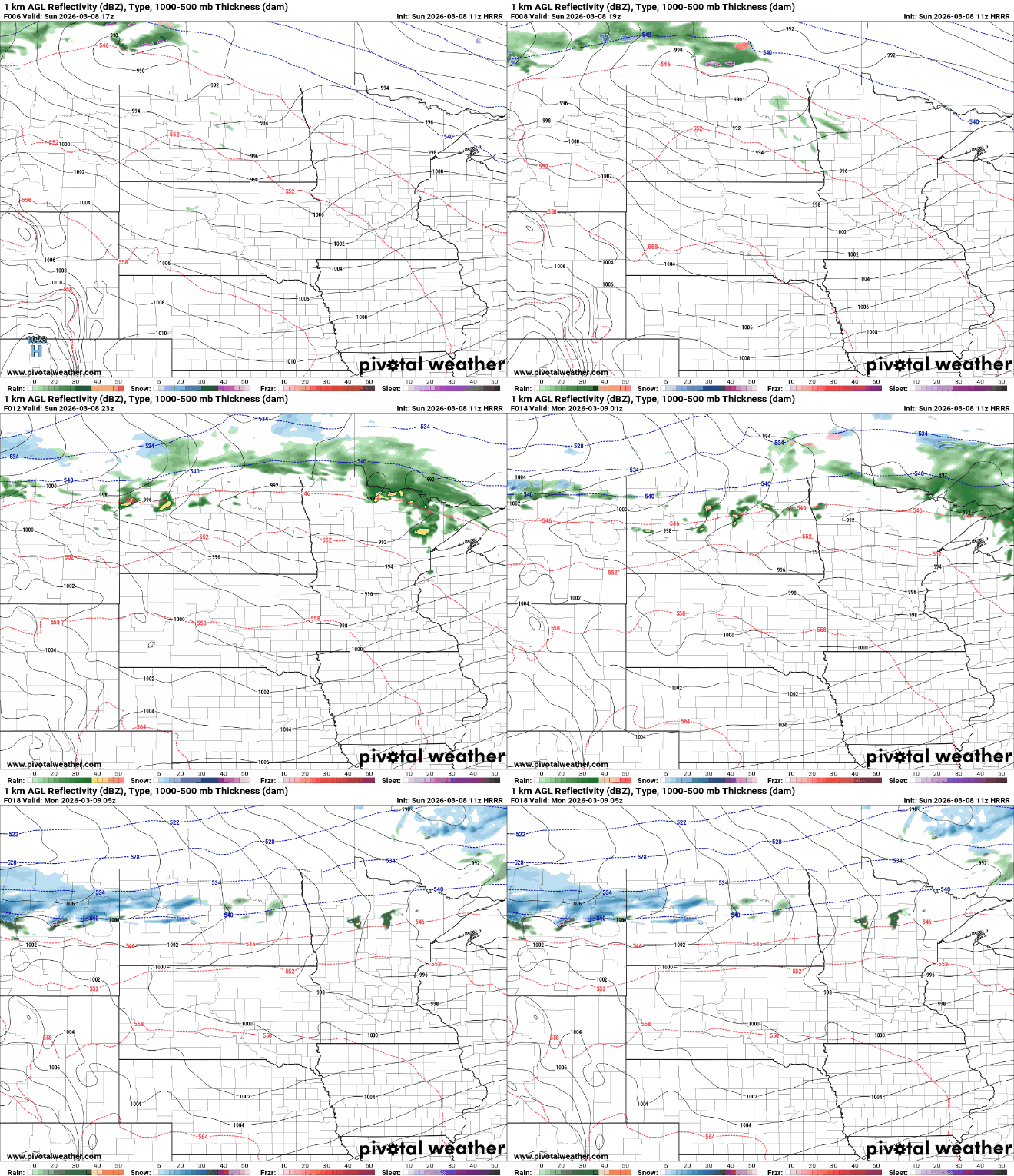
Monday will start to cool off, especially up north, where highs will be just in the 20s and 30s in northwest Minnesota, with 50s in southern Minnesota still.

The week ahead will be cooler overall after Monday, with highs mostly in the 40s and 30s. It will also be a rather active week with a few systems to watch. The first of those will develop snow showers for northern Minnesota Monday night into Tuesday, with rain showers developing south. The rain showers will turn to snow Tuesday night.
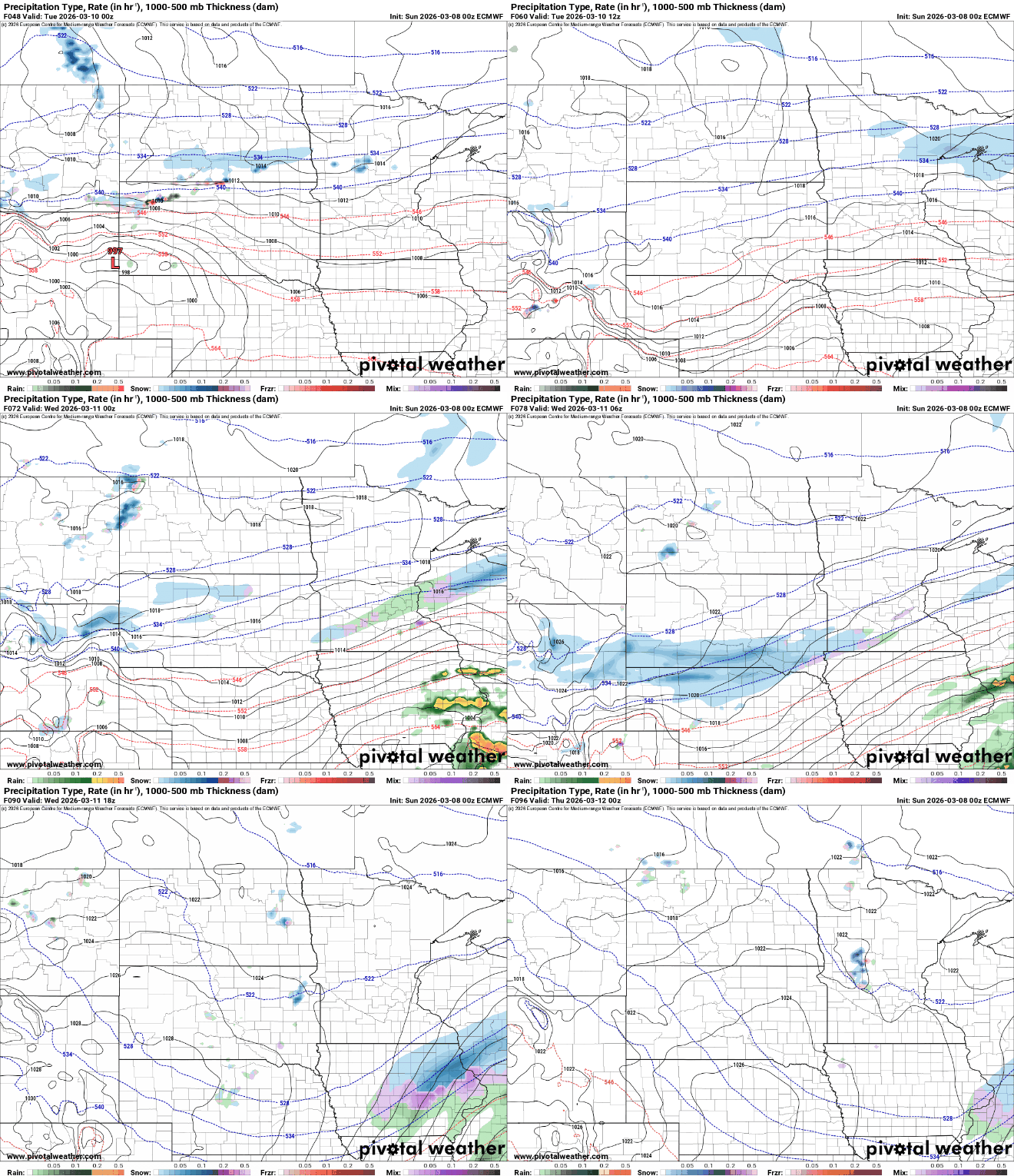
The highest snowfall totals will be along the North Shore Monday night into Tuesday with at least a slushy coating possible in southern Minnesota, too, Tuesday night. Some models are starting to trend higher, with totals in southern Minnesota Tuesday night; so we’ll need to monitor that.

There are additional rain and snow chances with a system Thursday and another over the upcoming weekend.
Turn Up Your Support
MPR News helps you turn down the noise and build shared understanding. Turn up your support for this public resource and keep trusted journalism accessible to all.

