
Weather whiplash: Cooler temperatures with rounds of rain, snow
March may live up to its reputation of active weather this week
Go Deeper.
Create an account or log in to save stories.
Like this?
Thanks for liking this story! We have added it to a list of your favorite stories.


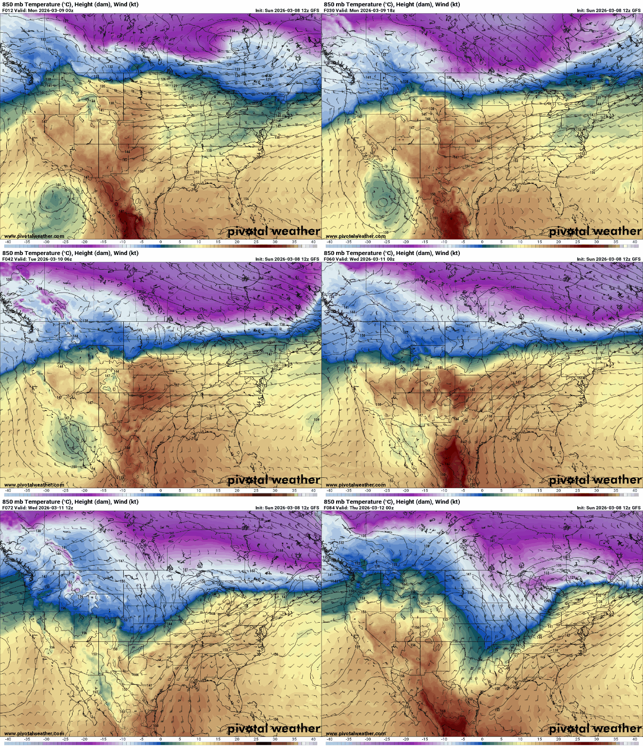
Cooler air is moving in across Minnesota Monday. Overall this week will be cooler with multiple chances of rain and snow.
Cooler air moving in; multiple rain, snow chances
We’ll squeeze out another relatively very mild day Monday in southern Minnesota with highs in the 50s and even low 60s in the southeast corner.
Quite the temperature contrast is setting up though with just 20s in northwestern Minnesota. We’ll see a mix of clouds and sunshine and breezy conditions.

The first of a few chances of rain and snow will develop across northern Minnesota late Monday into Monday night with snow showers.
Turn Up Your Support
MPR News helps you turn down the noise and build shared understanding. Turn up your support for this public resource and keep trusted journalism accessible to all.
Rain showers will develop in southern Minnesota during the afternoon and evening Tuesday, which will then change over to snow Tuesday night into early Wednesday morning.
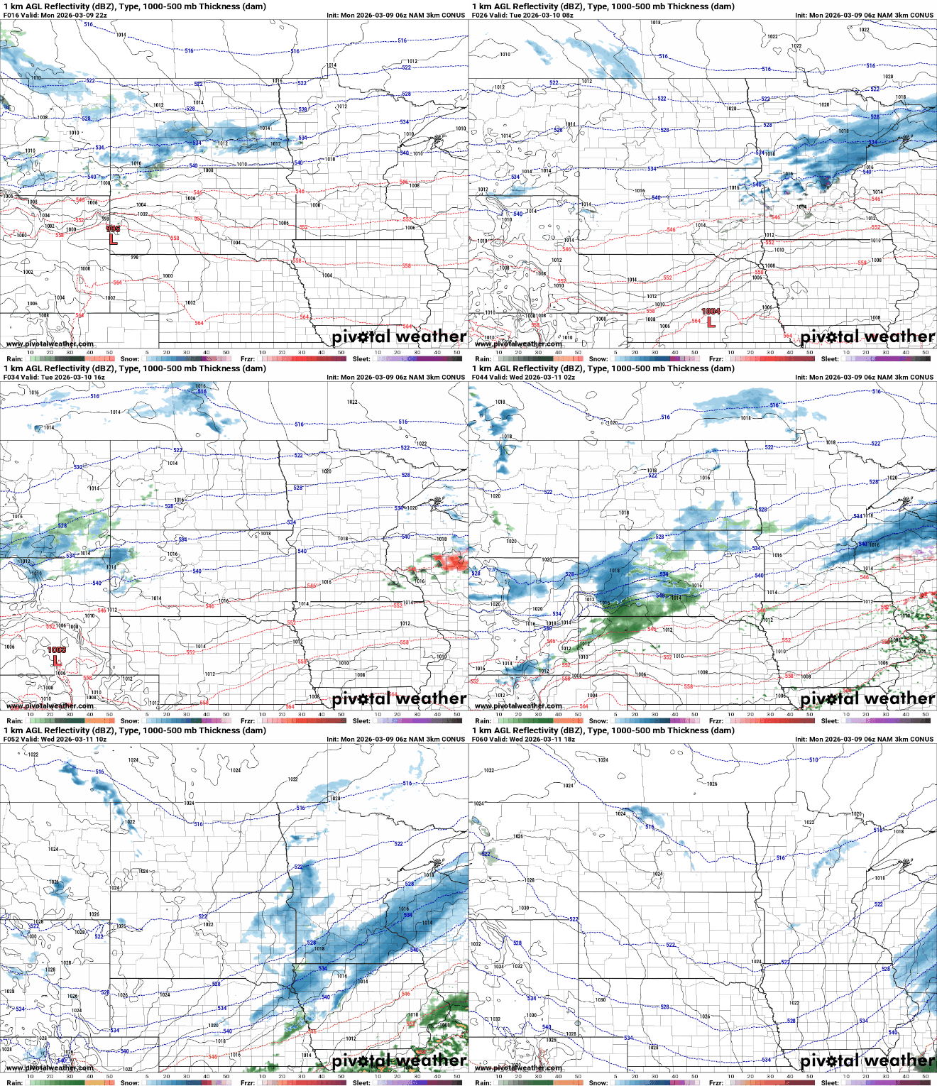
The highest snowfall will be around the North Shore and northern Wisconsin where several inches could fall Monday night into early Wednesday.
Southern Minnesota will see a window of snowfall Tuesday night with at least a slushy coating for many areas with as much as 1 or 2 inches possible, including in the Twin Cities.

Temperatures Tuesday will be more seasonable, mostly in the 40s and 30s for highs though southeastern Minnesota will continue to see highs in the low 50s.

There are two more systems lined up for later in the week and the weekend.
Thursday into Thursday night, another aggressive clipper-type system will deliver snowfall to northern Minnesota again with some rain and snow south. We’ll have to monitor the weekend as that storm system looks more significant.
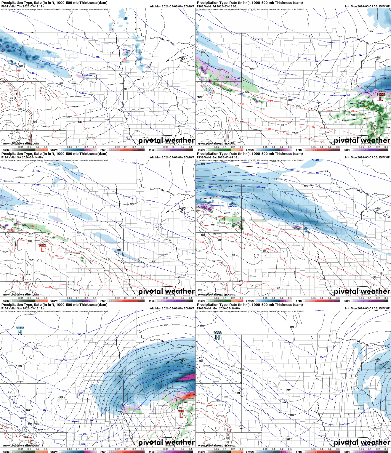
All the while, temperatures will be cooler too. Most highs this week will still be a little above normal. The normal high in the Twin Cities is now up to 40 much of this week.

The pattern looks to be overall cooler and more active in the medium range forecast too. The National Oceanic and Atmospheric Administration’s Climate Prediction Center forecasts higher odds of cooler and wetter conditions.


