
Snow totals stack up as blizzard conditions persist
Heaviest snow fell 50-75 miles south of Twin Cities

Go Deeper.
Create an account or log in to save stories.
Like this?
Thanks for liking this story! We have added it to a list of your favorite stories.


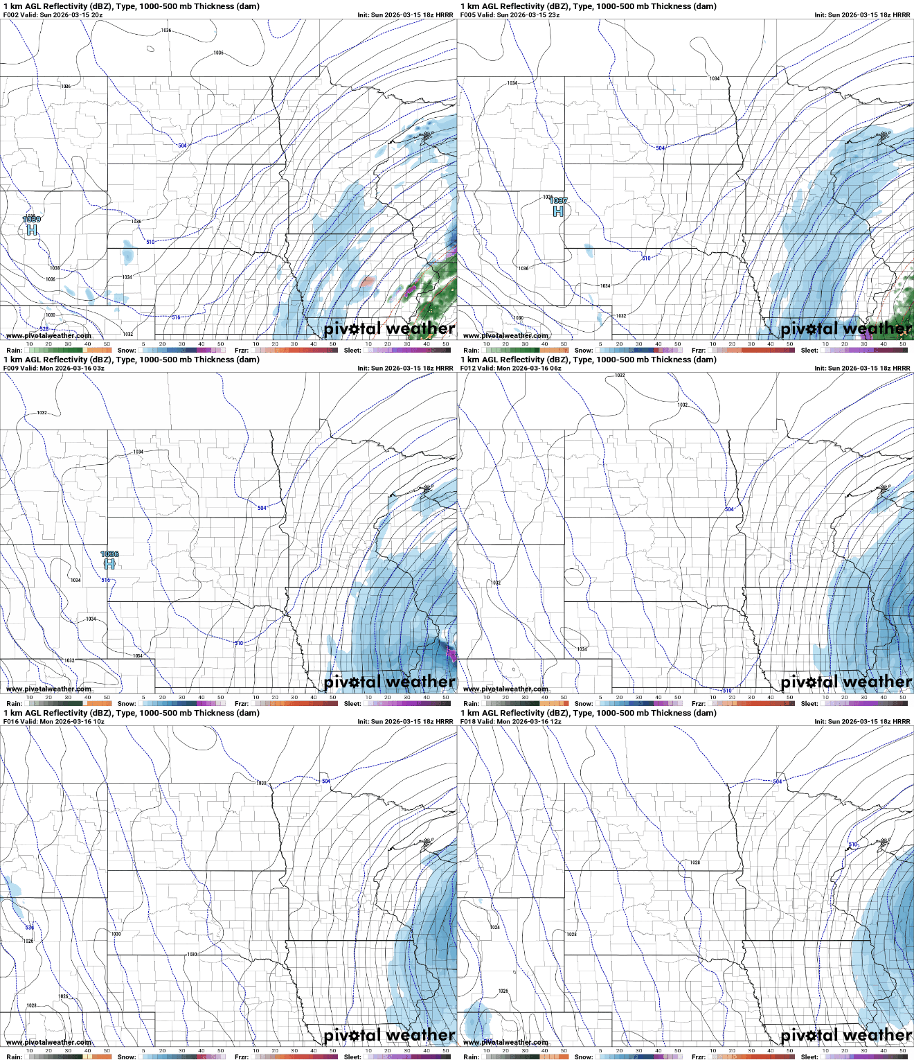
While the heaviest snow has already fallen, blizzard conditions will continue into Sunday night as powerful winds blow around the fresh snowpack. Snowfall is expected to finally wrap up late tonight.
Blizzard conditions continue; chilly start to the work week
Snowfall totals continue to stack up across southern Minnesota and western Wisconsin as this powerful weekend winter storm moves through the region.

The hardest-hit area from the storm has fallen roughly 50 to 75 miles south and east of the Twin Cities, stretching from near Rochester through the Mississippi River Valley and into western Wisconsin. Many communities have already exceeded 12 inches of snow, with some locations reporting totals just shy of 2 feet.
Snowfall in the Twin Cities metro varied, with the south metro receiving 10 to 12 inches, while the north metro saw 4 to 8 inches.
Turn Up Your Support
MPR News helps you turn down the noise and build shared understanding. Turn up your support for this public resource and keep trusted journalism accessible to all.
The shift to the south occurred because the storm’s surface low pressure system tracked farther south than originally expected. Rather than moving from near Des Moines toward Milwaukee, the system is now following a path from Kansas City toward the north side of Chicago.
Winter weather advisories will remain in effect for west-central and central Minnesota until 1 a.m. Monday. Portions of the Twin Cities metro have been downgraded to a winter storm warning until 1 a.m., while a blizzard warning remains in effect until 4 a.m. Monday for areas south of the Minnesota River Valley, including parts of the south metro and southern Minnesota. Additional snow of 1 to 3 inches is possible, along with gusty northwest winds of 40 to 50 mph.

Snowfall is expected to taper off from west to east late Sunday afternoon into Sunday evening, but gusty north-northwest winds will continue to create low visibility and icy roads as snow blows and drifts.
Chilly start to the work week
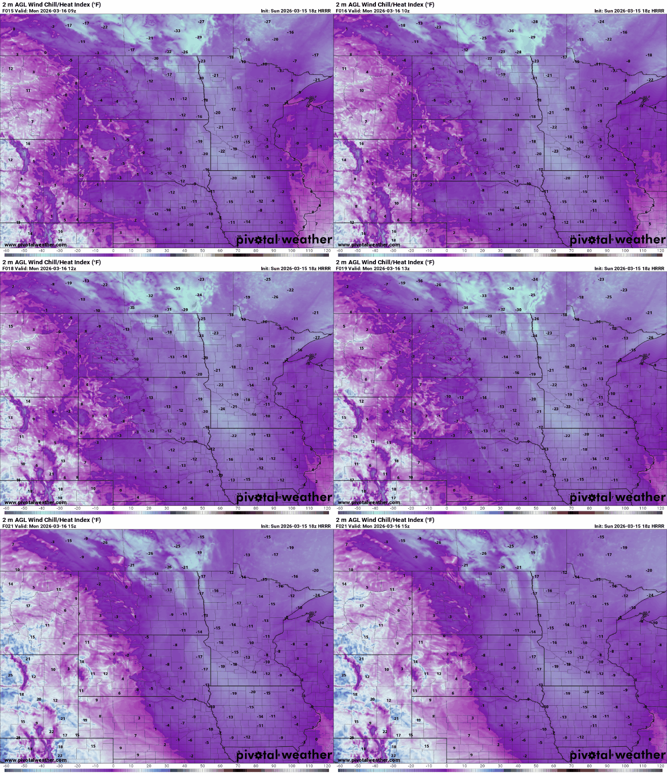
Forecast temperatures for Sunday night will feel more like mid-January than mid-March. Readings are expected to drop into the single digits above and below zero, with gusty northwest winds keeping wind chills in the teens and 20s below zero.

A quick-moving system is expected Tuesday evening, bringing a brief 1 to 2 inches of snow. Behind this system, a warm-up is forecasted, which will lead to significant snowmelt across the region later this week.

