
Bright snowpack Monday afternoon, bitter cold Monday night. Snow returns Tuesday
Go Deeper.
Create an account or log in to save stories.
Like this?
Thanks for liking this story! We have added it to a list of your favorite stories.


A cold Monday night is ahead across the Upper Midwest as clear skies and fresh snowpack allow temperatures to plunge below zero before another round of snow arrives Tuesday.
Bright snowpack, cold Monday night followed by more snow Tuesday
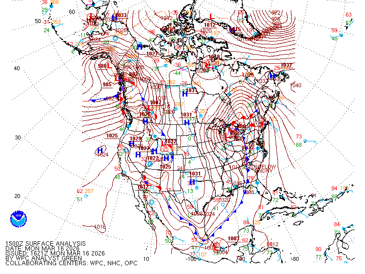
Skies cleared across much of the Upper Midwest by Monday afternoon, revealing a bright, fresh snowpack covering the region. Surface analysis shows high pressure building across the Dakotas, while our weekend low-pressure system continues to linger over the Great Lakes.
Despite the bright mid-March sunshine, temperatures remain cool with highs only reaching the teens Monday.
Turn Up Your Support
MPR News helps you turn down the noise and build shared understanding. Turn up your support for this public resource and keep trusted journalism accessible to all.

Lighter winds and clear skies Monday night will allow temperatures to fall quickly. Lows are expected to drop below zero across much of the region, the coldest temperatures since late January.

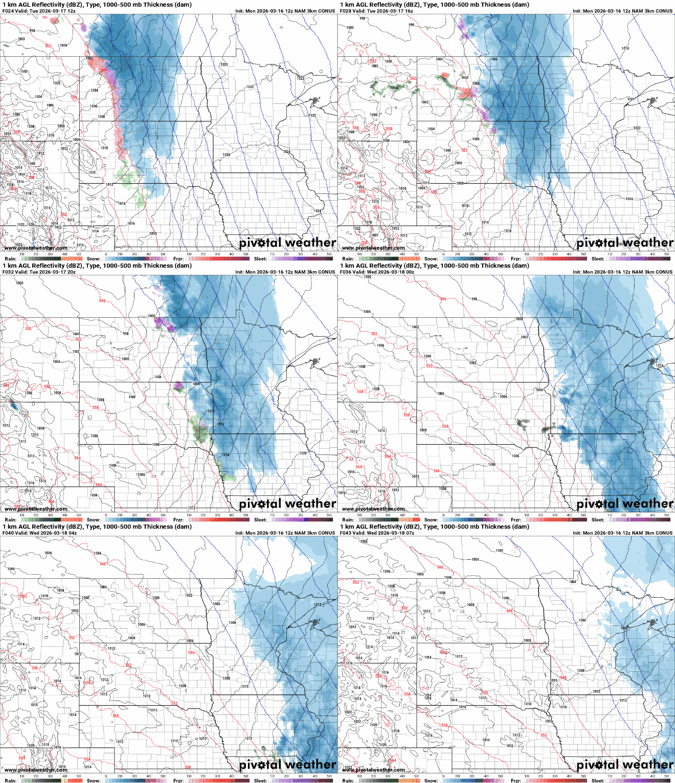
Looking ahead to Tuesday, a fast-moving band of snow will sweep southeast across the region Tuesday afternoon into the evening.
Most areas are expected to receive around 1 to 2 inches of snow, though some locations could see closer to 3 inches.

The bigger story later in the week will be a noticeable warming trend. Warmer air will continue to move into the region, pushing temperatures higher each day. By Saturday, highs are expected to reach the lower 50s in many locations.

