
Cold, windy Monday with more snow showers Tuesday
A chilly start but mild end to the week
Go Deeper.
Create an account or log in to save stories.
Like this?
Thanks for liking this story! We have added it to a list of your favorite stories.


Cold air is in place after our big snow. Temperatures Monday will be about 10 to 30 degrees below normal. A clipper system Tuesday brings more snow showers. The week ends much warmer.
Cold, windy Monday; clipper brings snow showers Tuesday
Well, Mother Nature delivered on our March snowstorm. Numerous locations in southeastern Minnesota and the southern Twin Cities metro area reported more than a foot of snow with some places reporting 18 inches or more!

In its wake, it’s cold and windy Monday. Highs will be in the teens mostly which is about 10 to 30 degrees below normal.

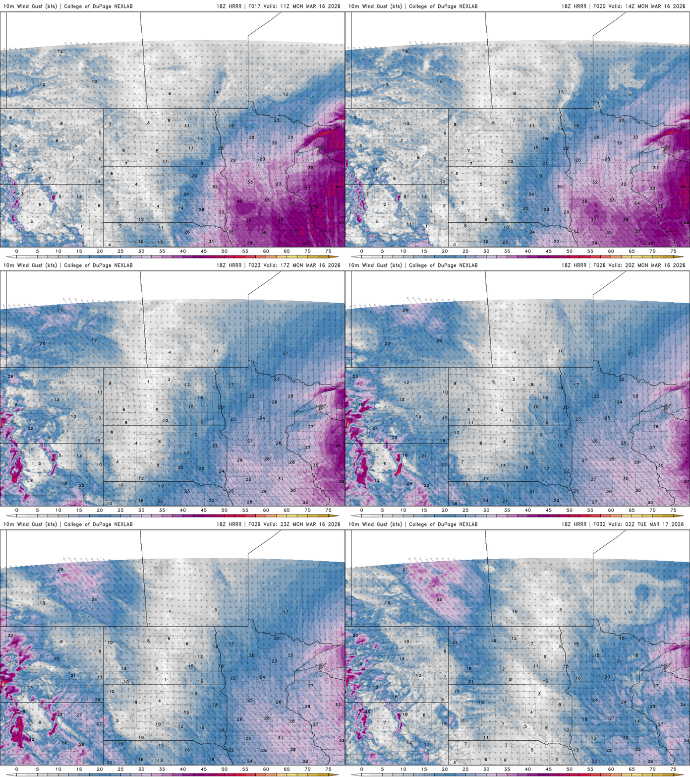
Winds will blow at 15 to 30 mph Monday from the north and northwest. That will make it feel like it’s subzero all day long for most of Minnesota.
Turn Up Your Support
MPR News helps you turn down the noise and build shared understanding. Turn up your support for this public resource and keep trusted journalism accessible to all.
Temperatures Monday night will dip into subzero territory for most of the state. It’ll be our coldest night since the end of January in the Twin Cities. The coldest it got all of February was 2 degrees.

Tuesday will remain chilly but a few degrees warmer. Clouds will increase and snow showers will develop in western Minnesota, expanding east into the afternoon and evening from a clipper system.
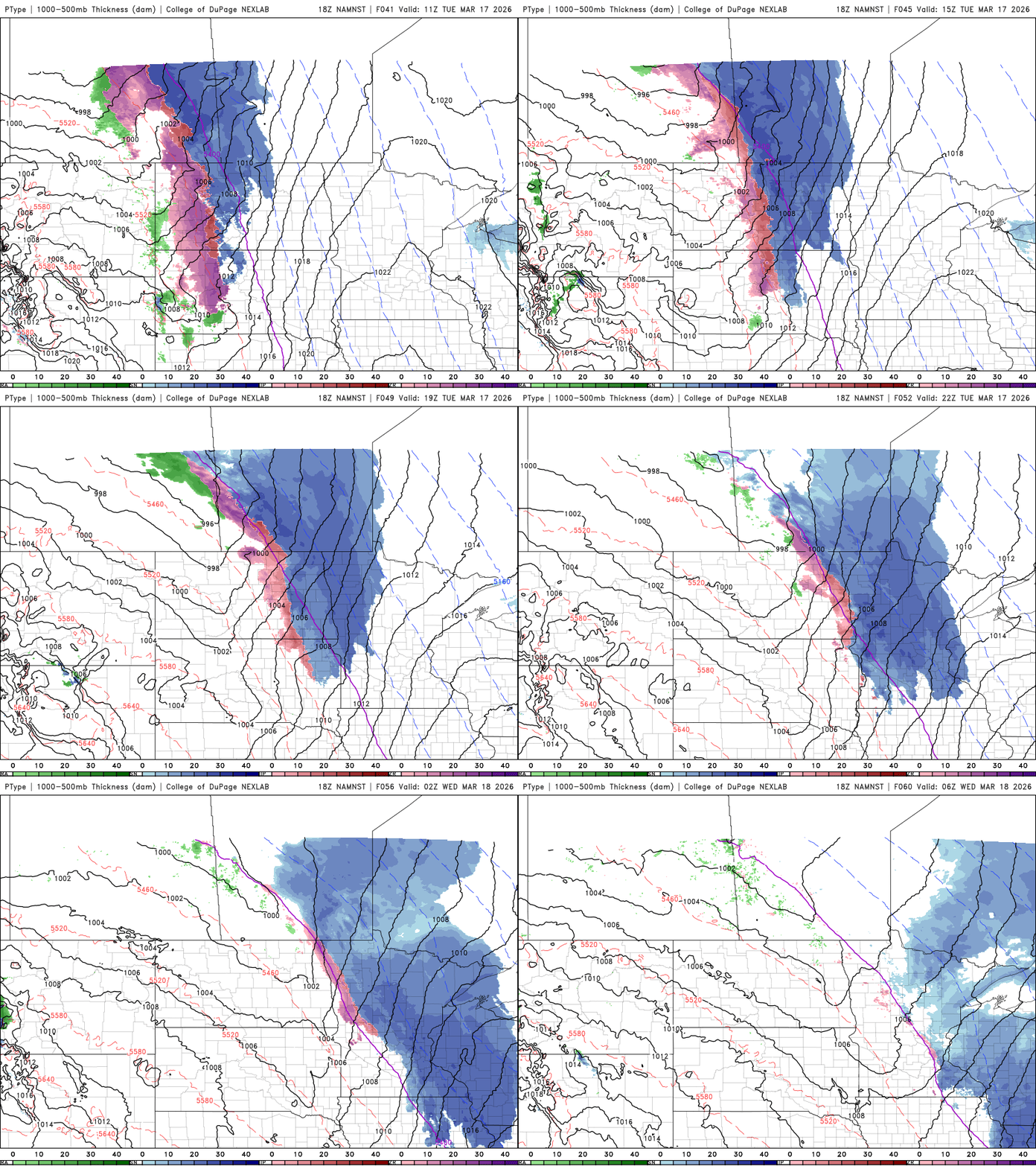
A wide area of 1 to 2, to even 3 inches of fresh snow will fall from northwestern Minnesota through central and southern Minnesota.

We’ll have another clipper system deliver some scattered rain showers Wednesday as warmer air starts to move back in. Highs will be in the 40s for southern Minnesota Wednesday and we’ll likely see 50s by the end of the week.

