
Clipper system brings more snow Tuesday followed by warmer temperatures
Temps nearly 30 degrees warmer by week’s end

Go Deeper.
Create an account or log in to save stories.
Like this?
Thanks for liking this story! We have added it to a list of your favorite stories.


A clipper system will deliver another layer of snow later Tuesday into Tuesday night. Warmer air flows back into the state Wednesday and into the weekend.
Another coating of snow on the way, then a rapid warmup
It’s a frigid start across the region. Many are awaking to their coldest readings since the end of January across southern Minnesota.
We’ll start with sunshine, but clouds will increase ahead of an incoming clipper-system. Temperatures will be a bit warmer, mostly in the 20s and teens Tuesday afternoon but still below normal.

Snow showers will develop by late Tuesday morning and midday in western Minnesota and expand east through the afternoon and evening hours.
Turn Up Your Support
MPR News helps you turn down the noise and build shared understanding. Turn up your support for this public resource and keep trusted journalism accessible to all.
In the Twin Cities, plan on a slower evening commute as snow will start late afternoon and persist through the evening. Most snow will wrap up shortly after midnight.
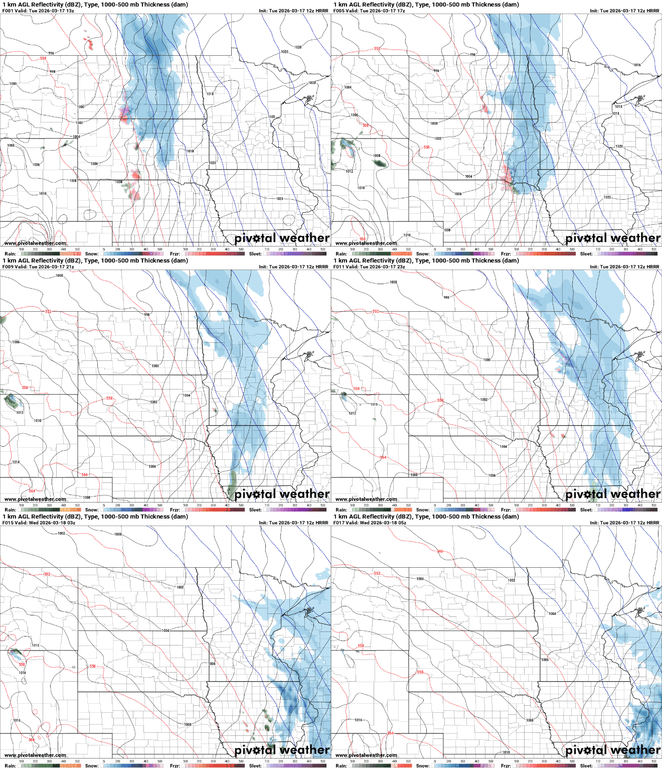
A large swath of the state can expect 1 to 2 inches of fresh snow. There could be a few isolated pockets of 3 inches.
There’s a winter weather advisory posted Tuesday for northwestern Minnesota.

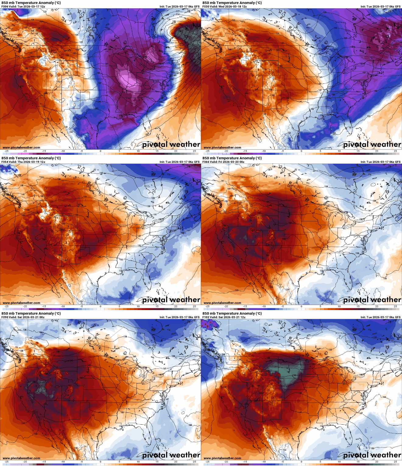
Warmer air is already on the way for Wednesday and temperatures trend upward through Saturday. Highs Wednesday will be in the 40s for much of the state with some sun breaking through the clouds.

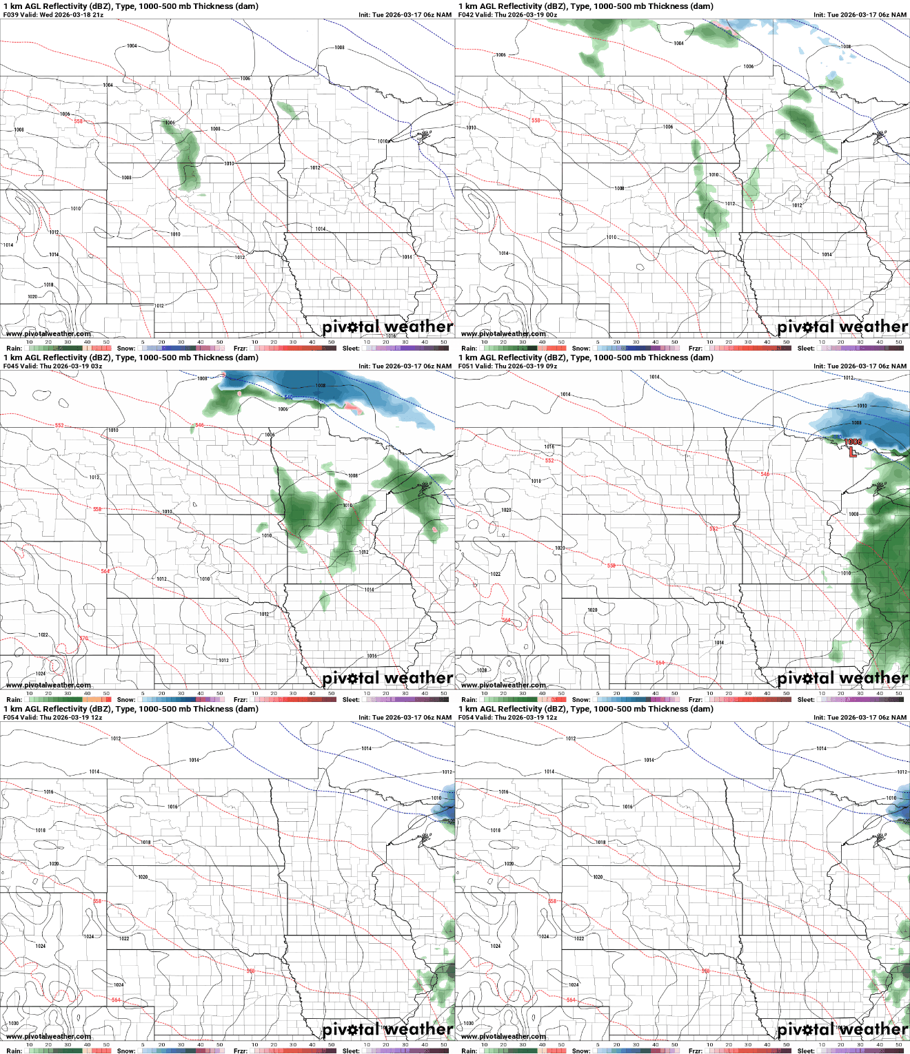
Another clipper system will deliver a few late day rain showers to portions of central and northern Minnesota on Wednesday.
Warm air continues to move in after Tuesday and Wednesday. We will flip from temperatures nearly 20 degrees below normal Tuesday to 20 degrees above normal by Saturday afternoon.
By Friday and Saturday, highs will be back in the 50s for many with 60 degrees even possible in the Twin Cities by Saturday. Southwestern Minnesota could be near 70.

A cold front slides through Saturday night dropping highs back into the 40s for Sunday and Monday with perhaps a few rain showers early Sunday.

