
Warmer Wednesday as temperatures continue to trend upward
Rain showers possible late Wednesday into Wednesday night
Go Deeper.
Create an account or log in to save stories.
Like this?
Thanks for liking this story! We have added it to a list of your favorite stories.


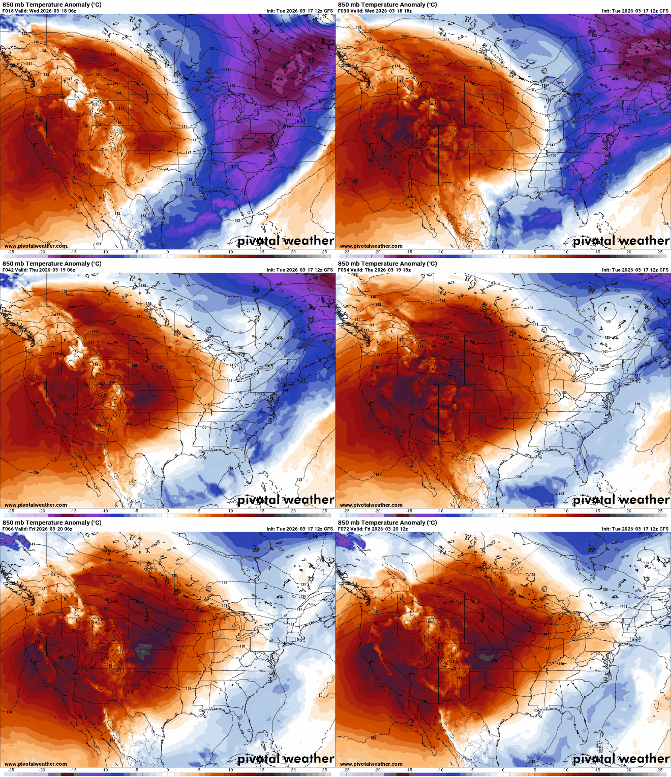
Milder air is returning to Minnesota Wednesday. That means the next clipper coming in later in the day will deliver a few rain showers. Temperatures continue their upward trend through Saturday.
Milder air returns
After a couple of pretty frigid days by mid-March standards, milder air is back. Temperatures are already much warmer Wednesday morning compared to the last couple of mornings — a good 20 degrees warmer for most.

Afternoon highs will be close to normal levels Wednesday afternoon, mostly in the 40s. We’ll see a mix of lingering clouds and some sunshine.

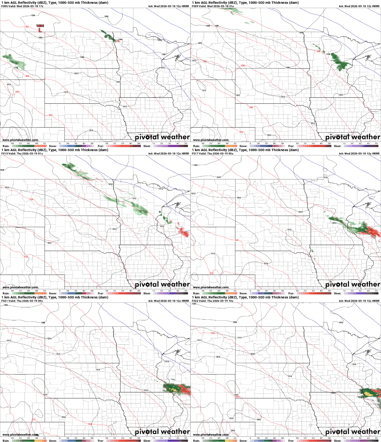
Another clipper system will deliver a few rain showers later Wednesday and into Wednesday night thanks to the warmer air mass. There could be a bit of a wintry mix near the international border later in the night.
Turn Up Your Support
MPR News helps you turn down the noise and build shared understanding. Turn up your support for this public resource and keep trusted journalism accessible to all.
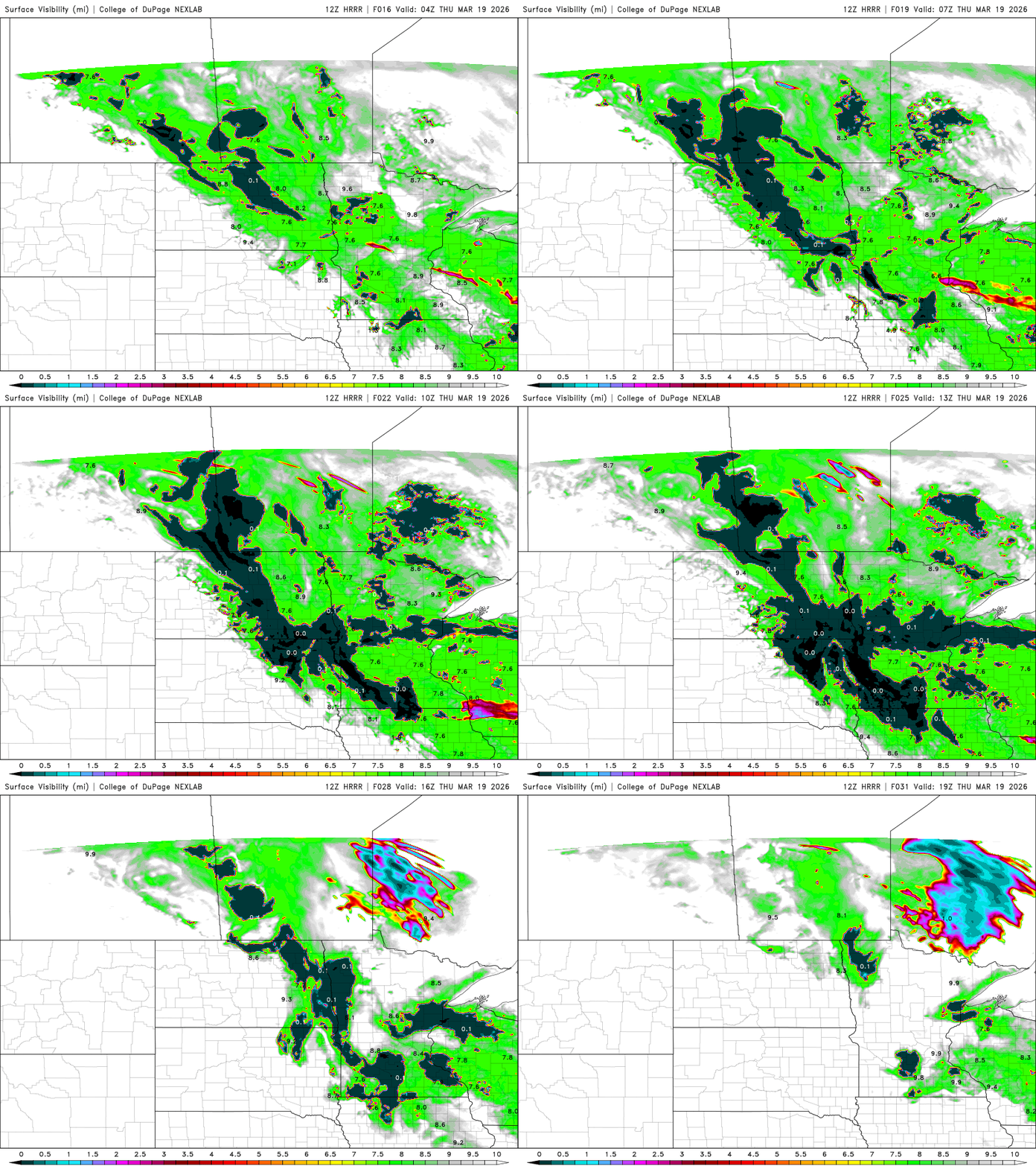
One of the things we’ll have to watch the next couple of mornings is fog. With melting snow by day and clear skies, calm winds at night combined with lingering snow pack, we’ll likely see at least patchy areas of fog develop at night into the early morning hours.
In areas that don’t burn off the fog quickly, it could cost a few degrees on the high temperatures.
Temperatures Thursday will be similar, mostly in the 40s. Friday will see a return to 50s for much of southern Minnesota and the Twin Cities and we could see 60s by Saturday.

A cold front will move through Saturday night, dropping temperatures back closer to normal, mostly in the 40s and 30s for Sunday and Monday.
The weather looks relatively quiet as well with just perhaps a few rain or snow showers Saturday night and early Sunday as the next cool front moves through the region.

