
Milder stretch of days continue
Pattern remains relatively quiet

Go Deeper.
Create an account or log in to save stories.
Like this?
Thanks for liking this story! We have added it to a list of your favorite stories.


After some areas of fog burn off, it’ll be another seasonable day Thursday. Warmer temperatures build in for Friday and Saturday before returning to normal Sunday.
Warmer-than-normal days ahead
After we burn off some areas of fog, we’ll see partly cloudy skies Thursday. The late night and early morning fog may develop again Friday and early Saturday. It’s the result of melting snow pack combined with clear and calm overnights.

Afternoon high temperatures Thursday will be relatively mild again, back above normal a bit and mostly in the 40s to near 50 degrees. Southwestern Minnesota could get close to 60 degrees.

Highs Friday will warm even more with more widespread 50s into central Minnesota. Southwestern Minnesota will see 60s to near 70-degree readings!
Turn Up Your Support
MPR News helps you turn down the noise and build shared understanding. Turn up your support for this public resource and keep trusted journalism accessible to all.

You may hear about some incredible heat in the West. Much of the western United States will be 20 to 30 degrees above normal Thursday. The Southwest will likely reach triple digits, which is common in summer but not this early in the spring.

Climate Central’s Climate Shift Index is a rapid attribution analysis deciphering climate change’s impact on temperatures. Their analysis shows these temperatures are made 5 times more likely due to spring warming in the west.

Some of that heat is headed our way for Saturday.
It’s an unusually potent heat dome for this early in the season and it will be pushing east by the weekend. A heat dome is a large area of high pressure aloft that pushes temperatures upward and keeps conditions dry and clear.
In the late spring and summer, these heat domes can create major heat waves and drought if they are trapped and remain nearly stationary.
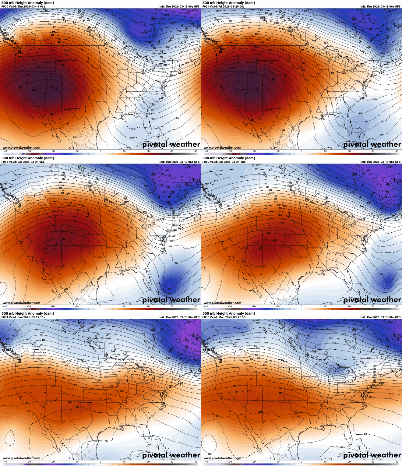
Saturday will be our warmest day in this latest March heat wave. Highs just southwest of Minnesota will be summerlike — in the 80s across Nebraska and western Iowa, possibly up to the Minnesota and Iowa border. The Twin Cities will see highs in the 60s.

A cool front will slide through Saturday night, touching off a few rain showers and bringing temperatures back to normal — mostly in the 40s and 30s for Sunday and Monday.
The pattern remains relatively quiet with just a couple clipper systems brushing northern Minnesota over the next several days.

