
Record breaking Saturday followed by evening cold front
Seasonal temperatures return for Sunday
Go Deeper.
Create an account or log in to save stories.
Like this?
Thanks for liking this story! We have added it to a list of your favorite stories.


We hit a record high Saturday afternoon, but a cold front arriving tonight will quickly bring temperatures back down to seasonal levels for Sunday.
Record warmth with sharp cooldown expected
Record setting warmth arrived in the Twin Cities on Saturday as the temperature climbed to 78 degrees, breaking the previous record of 76 set in 1938. Other communities in southwestern Minnesota pushed even higher, with Worthington reaching 83 degrees and both Windom and Jackson topping out at 82.
These readings are more in line with June than March and highlight how rare this kind of warmth is for this time of year.

A cold front will sweep through the region Saturday night, bringing a rapid end to the warmth. Temperatures will fall quickly through the 50s and 40s, eventually dropping into the 30s by Sunday morning. Scattered rain showers are expected behind the front overnight, but dry air near the surface will limit how much precipitation reaches the ground.

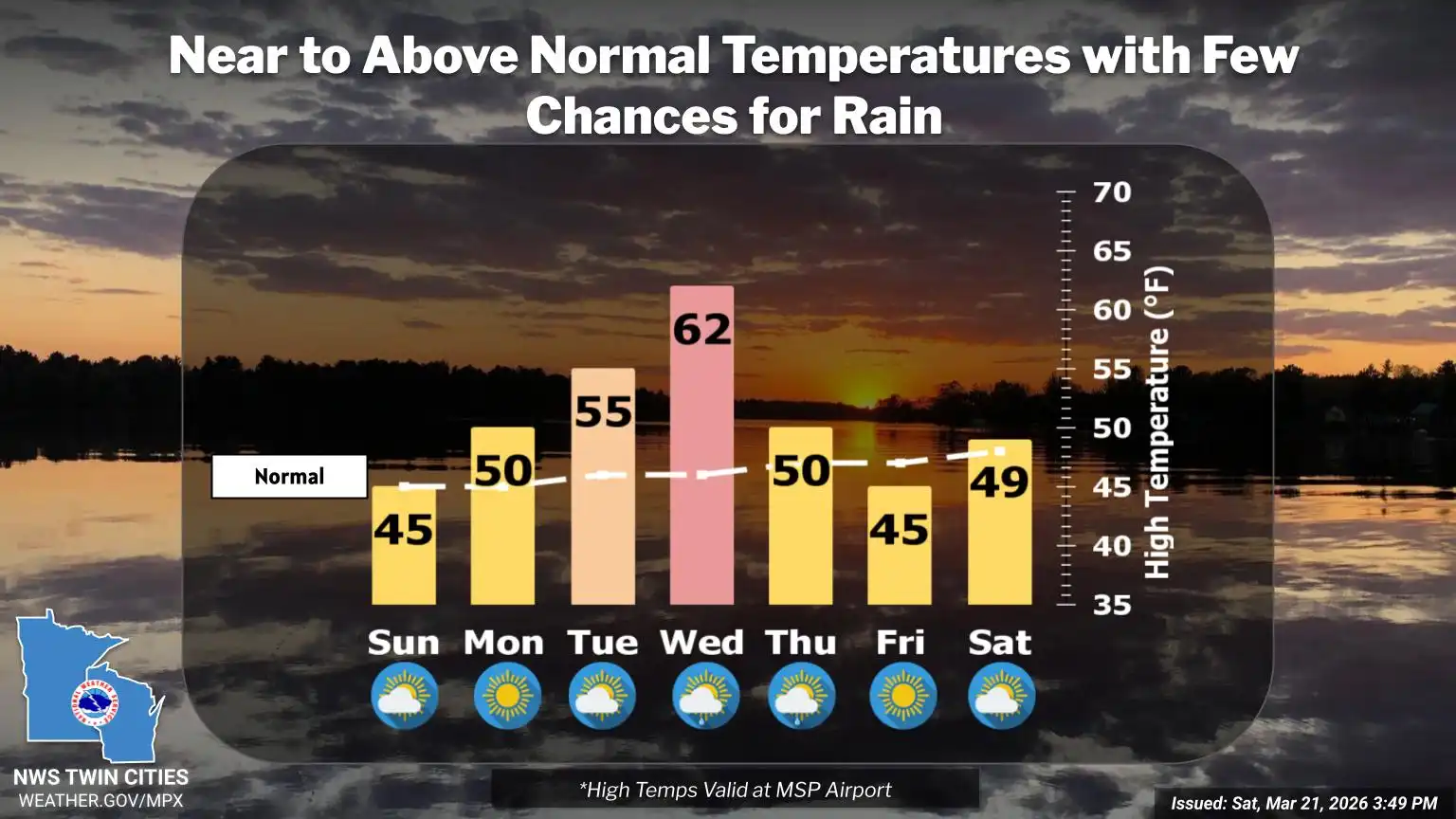
Sunday will be noticeably cooler, with highs in the low to mid-40s, much closer to typical late March temperatures.

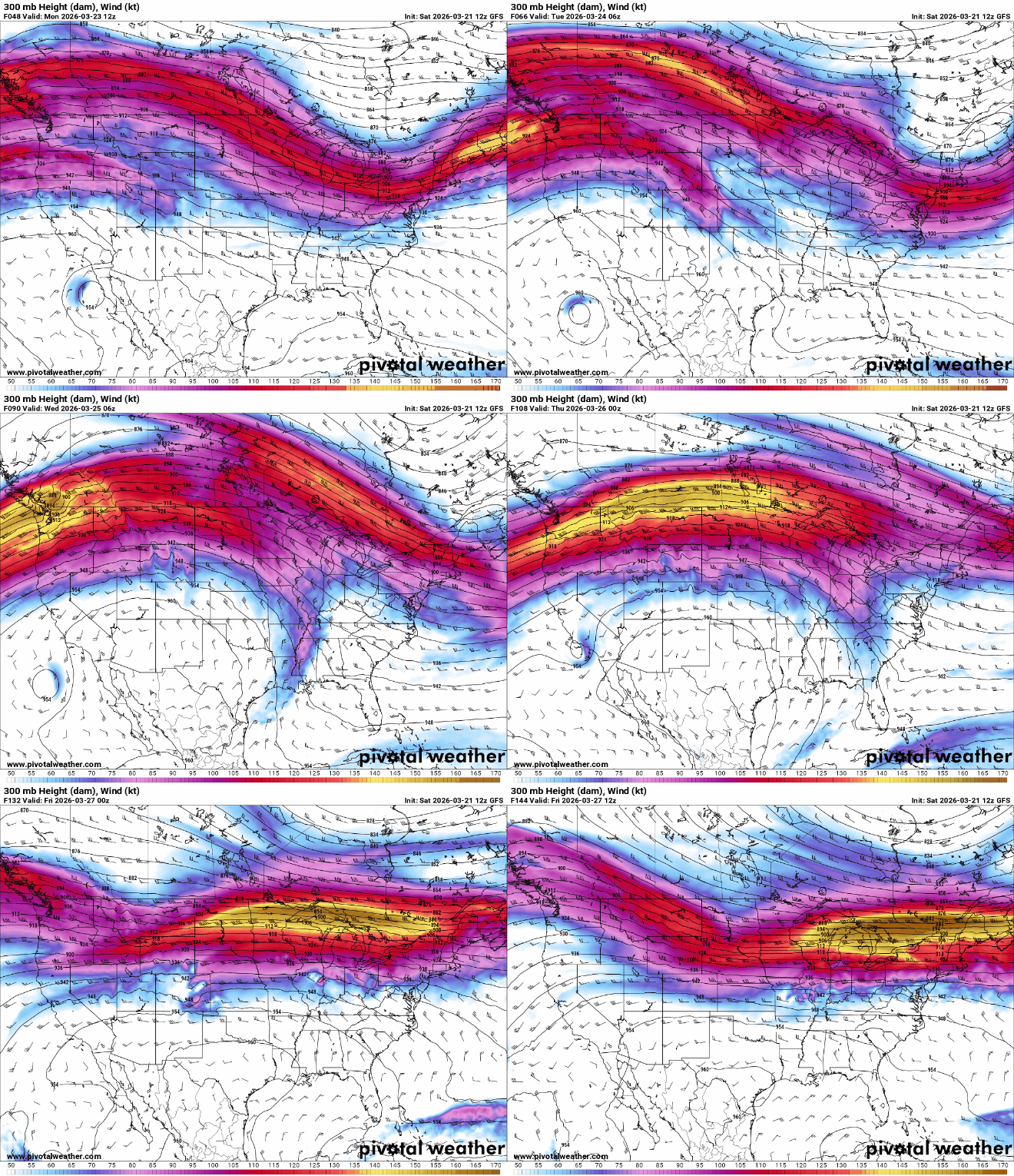
The cooldown will be brief. Temperatures are expected to rebound to above-normal levels through the middle of next week as strong high pressure builds across the central United States. This pattern will push the jet stream north of the region, keeping most storm systems and any significant precipitation out of reach.
Turn Up Your Support
MPR News helps you turn down the noise and build shared understanding. Turn up your support for this public resource and keep trusted journalism accessible to all.

